Skip to content
Reuse radar

Valencia

Valencia's rents keep climbing — €16.6 per m² a month in mid-2026, 9.4% more than a year earlier — while its offices are almost full. The ways in run through public property and the City's own powers: surface-right tenders on municipal plots, pre-emption on block sales (134 homes bought in La Torre in 2025) and a register that can force owners of empty plots and decaying buildings to build, rehabilitate or sell. The Generalitat holds patrimonial buildings in the centre, among them the former main post office, and plots in La Torre.
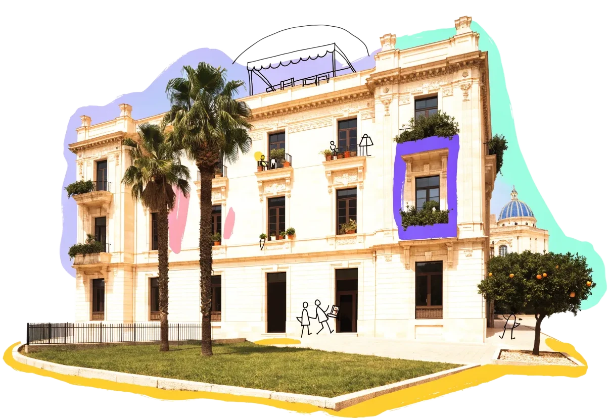
An empty building in Valencia with homes, balconies and neighbours drawn onto it in ink
Vacant office space2.36%of the office stock stands empty (the floor area is not published)
Empty buildings on record840172 confirmed
On the map1,988buildings and sites from 12 open sources
Homes potential—not in the economic model’s office data yet

Office figures: BNP Paribas Real Estate: office availability 2.36% in January 2026, a record low (Prime 0.35%, decentralised zone 4.13%). No stock figure is published with it, so no vacant area is derived. Map built 2026-10-10.

The map

Every building a record says stands empty, one point per building: filter by type, size and how sure the evidence is, and open one to see who says so. “Opportunities” switches to the co-op lens: public land, conversion potential and projects already under way, every source as its own layer.

The City's register of plots and buildings to build or rehabilitate (RMSER) is on the map — 33 plots and 5 buildings in a live procedure — but the City's other property layers sit behind a login on its geoportal: the housing service's maps (Vivienda), cadastral management and tax inspection all answer "token required". The City's open property list (relació de béns immobles) reflects the inventory as rectified on 31 December 2015 and gives no use or vacancy, so it is not drawn.

Loading map…

0 empty buildings · colour = type, dark ring = confirmed

Check any building in Valencia: could it become homes, and could the EHC model work there?

Where to look first

Buildings with evidence that they stand empty — a second source agrees, a public record names them, or we have checked them — ranked by a score you can read: co-op scale, daylight depth, a station nearby, a zone that allows homes, affordable land and an open route in. Checked buildings carry their result; nobody has visited them on site yet. Leerstandsmelder reports join the list when they sit in a large non-residential building and a second source agrees.

PriorityBuildingFloor areaDepthStationConversion checkActions
71Teatre Escalante
Distressed or stranded (named) · Heritage at risk: patrimonio civil, edificios singulares · 3 other sources nearby
3,104 m²13.8 m720 mA fit only
68Edificio Arrendado a Berska (antes Conselleria de Economia, Industria Turismo y Empleo)
On public land · Patrimonial · 1 other source nearby
6,574 m²19.4 m242 mB fit only
62industrial building, cadastral ref. 3905205YJ2730F
Distressed or stranded (named) · industrial · 3 storeys · 2 other sources nearby
2,933 m²30.4 m102 mB fit only
61Residencia de Personas Mayores Dependientes y Centro de Dia Barrio Velluters
On public land · Asistencial social · 1 other source nearby
4,019 m²18.7 m657 mA fit only
60industrial building, cadastral ref. 4447607YJ2744E
Distressed or stranded (named) · industrial · 2 other sources nearby
1,899 m²—740 m—
60Fábrica de La Ceramo
Distressed or stranded (named) · Heritage at risk: patrimonio industrial, patrimonio industrial · 2 other sources nearby
1,899 m²—725 m—
56Centro de Especialidades del Grao
On public land · Sanitario · 1 other source nearby
5,685 m²—589 m—
56I.e.s. "barri del Carme"
On public land · Docente · 1 other source nearby
3,108 m²—755 m—
55Complejo Velluters (instituto Valenciano de Cultura, Conservatorio y Escuela de Arte y Diseño)
On public land · Docente · 1 other source nearby
22,597 m²—746 m—
54industrial building, cadastral ref. 5215738YJ2751E
Distressed or stranded (named) · industrial · 3 storeys · 2 other sources nearby
1,739 m²27.1 m240 mB fit only

Districts where conversion makes sense

Where empty offices, the right zoning and a working neighbourhood come together — and what could go wrong.

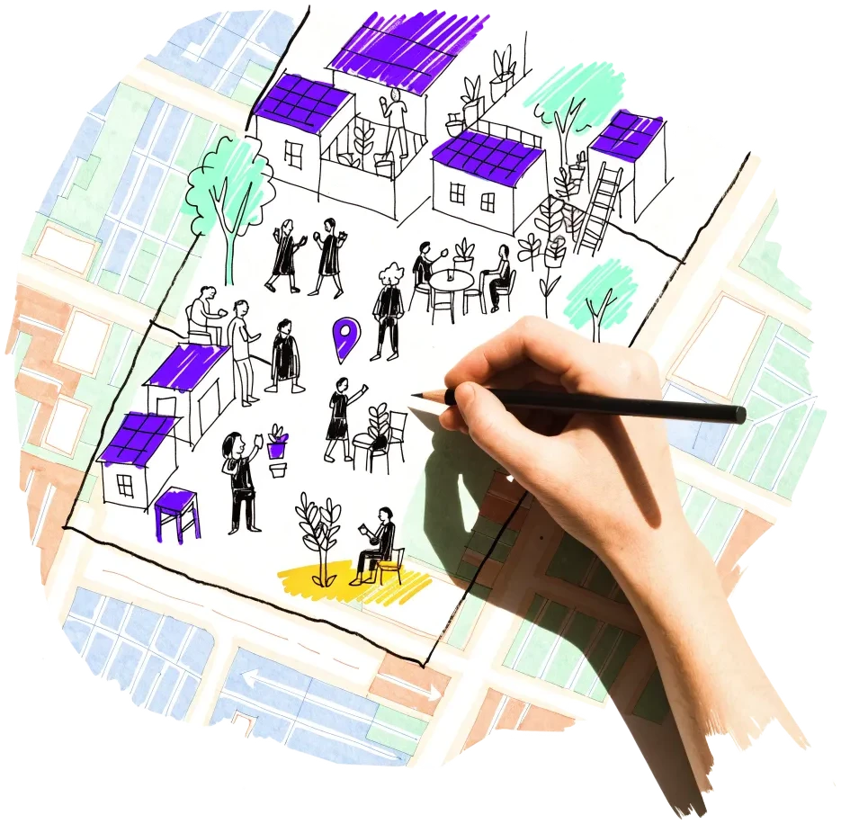
A hand outlining a neighbourhood on a city map, with small houses drawn inside

Ciutat Vella (Velluters, El Mercat, La Seu-Xerea)

More than 40% of homes here are nobody's main residence, and many of the City's forced-building and rehabilitation cases sit in Velluters and El Mercat.

  • Over 40% of homes not a main residence; over 53% in one census section of El Mercat (INE census 2021)
  • Seu-Xerea unit 2: a 2,772 m² plot unused for decades, forced reparcelling approved January 2026, 76 homes
  • The Generalitat holds the PEPRI unit-6 parcels on Balmes and Foios (1,830 m²)
  • 24 of the 33 plots on the City's register of plots to build are in Ciutat Vella, 14 of them in Velluters (RMSER, read 8 Oct 2026)

Risk: Heritage rules (the special protection plan) and tourist demand set the price; most empty homes are privately owned in small lots.

4 sources

Poblats Marítims (Cabanyal-Canyamelar)

The City and its company Plan Cabanyal own many homes and plots here, much of it left without a use after the old avenue extension was abandoned.

  • 123 of the City's 164 homes in the district had no residential use (2020)
  • 20 unbuilt municipal plots, 3,200 m² (2020)
  • Up to 40% of homes not a main residence in parts of the Cabanyal (INE census 2021)

Risk: The counts date from 2020; rehabilitation since then has brought some homes back, and tourist flats compete for the rest.

2 sources

La Torre and Sociópolis (Pobles del Sud)

Public land and the City's first large pre-emption purchase meet here.

  • 134 homes bought by the City for €9.0 million with its right of pre-emption (October 2025)
  • Eleven Generalitat plots from the La Torre reparcelling in the public property register
  • 95 homes planned on a municipal plot in the 2024 surface-right tender

Risk: A new-build sector: the plots go out on long surface rights to developers, and there are few standing buildings to convert.

3 sources

Campanar (former La Fe hospital)

The largest closed public building complex in the city, owned by the Generalitat.

  • Demolition tendered in December 2022 for €14.5 million before VAT
  • 50 emergency places opened there after the October 2024 DANA

Risk: It is earmarked for a new health campus and its old blocks for demolition; housing is not part of the stated plan.

2 sources

L'Olivereta (Nou Moles, Fuensanta)

Municipal plots tendered for protected rental homes and a patrimonial Generalitat building sit in a dense working-class district.

  • Two municipal plots on Carrer del Brasil for 70 and 40 homes in the 2024 tender
  • Pabellón Fuensanta, 1,684 m², held by the Generalitat as patrimonial property

Risk: The 2024 tender was aimed at developers on 65-year surface rights; a co-op needs a later round or a partner.

2 sources

Owners and routes in

Who controls the space, and what a housing cooperative can actually do with them.

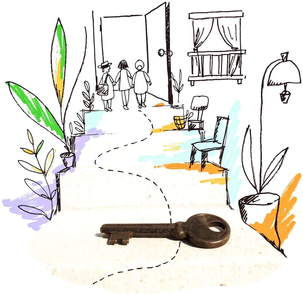
A door key on a doorstep with a drawn path leading to an open door
Public owner

Ajuntament de Valencia — municipal plots on surface rights

The City tenders municipal plots on surface rights for protected rental homes (2024: four plots, 221 homes, 65 years plus 10). A non-profit housing co-op can bid, alone or with a partner, and can ask for plots to be reserved for cooperatives in cesión de uso, which the City's housing board agreed to study in 2018.

2 sources
City agency

Ajuntament de Valencia — Registro Municipal de Solares y Edificios a Rehabilitar

Plots and buildings whose owners miss the duty to build or rehabilitate enter a forced regime in which the owner can be replaced by a building or rehabilitating agent, expropriated or made to sell. The register is public so that others can step in: a co-op can apply as the agent for a listed building.

2 sources
Public owner

Generalitat Valenciana — Patrimonio and the Entitat Valenciana d'Habitatge i Sòl (EVha)

The Generalitat holds patrimonial buildings (the former post office, Pabellón Fuensanta, a 4,712 m² building on Actriz Pepita Serrador) and plots in La Torre. EVha has already offered public plots to housing co-ops on 75-year surface rights (2018, seven plots outside the city) — the precedent to ask for in Valencia.

2 sources

Signals to watch

Decisions, auctions and closures that change what becomes available, and when.

  1. 2026-08-19
    Rents at a new high

    Flat rents in the city reached €16.6 per m² a month in the second quarter of 2026, up 9.4% on a year earlier.

    1 source
  2. 2026-06-09
    Seu-Xerea plot unblocked

    The forced reparcelling of a 2,772 m² plot in Ciutat Vella, unused for decades, was published; 76 homes are planned.

    1 source
  3. 2026-03-31
    Tourist flats capped

    The City capped tourist uses at 2% of homes per neighbourhood and limited them to ground and first floors with their own entrance.

    1 source
  4. 2026-03-02
    Offices almost full

    Office availability fell to 2.36% in January 2026, a record low; offices are not where empty floor space is in Valencia.

    1 source
  5. 2025-10-24
    First large pre-emption purchase

    The City bought 134 homes in La Torre for €9.0 million with the right of pre-emption the Generalitat ceded to it.

    1 source
  6. 2024-11-18
    Old La Fe reopened as a shelter

    After the DANA floods, the Generalitat opened 50 emergency places in the closed hospital.

    1 source

Sources and freshness

22 sources connected, 1 waiting for access. We only use data we may lawfully reuse; where a publisher blocks automated access we do not work around it — a person downloads it, or we ask for permission.

Show every source, its licence and when we last read it
SourceAccessRecordsStatusLicence
OpenStreetMap disused/abandoned tags and brownfields
OpenStreetMap contributors
Open API1,094Live
2026-10-10
ODbL 1.0 (© OpenStreetMap contributors)
Rail, S-Bahn and U-Bahn stations (OpenStreetMap)
OpenStreetMap contributors
Open APIscoringLive
2026-10-10
ODbL 1.0 (© OpenStreetMap contributors)
Building heights: GlobalBuildingAtlas (TU Munich)
Zhu, X. X., Chen, S., Zhang, F., Shi, Y., Wang, Y. (2025), Technical University of Munich
GlobalBuildingAtlas: an open global and complete dataset of building polygons, heights and LoD1 3D models. Earth System Science Data 17(12), 6647–6668, doi:10.5194/essd-17-6647-2025. Read from the Parquet copy on Source Cooperative. Satellite-derived heights (typically 1.5–3 m error in Europe), turned into storeys with storey heights fitted on Berlin; used only where no register or official 3D model sizes the building.
Open download40 buildings sizedLive
2026-10-10
CC BY-NC 4.0 (heights); footprints from OpenStreetMap and Microsoft: ODbL
Official floor areas and uses: Catastro INSPIRE buildings
Dirección General del Catastro (Ministerio de Hacienda)
Fuente: Dirección General del Catastro. The official gross floor area (officialArea, grossFloorArea) and current use of the cadastral building a record sits in — everything built on that parcel.
Open download647 buildings sizedLive
2026-10-10
Catastro INSPIRE licence 1.0 (free use of transformed information, with attribution)
Road noise (EU Environmental Noise Directive, Lden)
European Environment Agency
Open APIscoringLive
2026-10-10
EEA standard re-use policy (attribution)
Leerstandsmelder.de — public reports of empty buildings
Leerstandsmelder (Gängeviertel e.V., Hamburg)
Shown while we ask Leerstandsmelder for permission. Reports since 2016 only, with the address, the month reported and a link to each entry; not checked by EHC. Each point says when a report has since been marked demolished, lived in, in interim use or rebuilt on Leerstandsmelder, and the owner type the reporter gave (private owners are never named).
Asking for permission0Pending
2026-10-10
Credited to Leerstandsmelder.de; asking for permission
Open-ended property funds: buildings they report partly empty
Open-ended real-estate funds (each point names its fund and report)
German and Austrian open-ended public property funds must list every property with its vacancy (or letting) rate in their annual and half-year reports. scripts/reuse/import-fund-reports.ts reads those lists; properties at 10 % vacancy or more are shown, those at 25 % or more count as evidence.
Open download0Live
2026-10-10
Published fund report (KAGB / KARBV property list), cited per point
Co-working spaces, department stores, banks, hotels and cinemas listed as permanently closed
Overture Maps Foundation (closure data: BrightQuery company records)
Places with operating_status "permanently_closed" in the monthly Overture release, read by scripts/reuse/import-overture-closures.ts and matched to the building they sit in. A closed business is usually one unit; names are shown only for companies, never for sole traders.
Open download0Live
2026-10-10
CDLA Permissive 2.0 (Overture Maps Foundation)
Land without current use and stalled construction, mapped from satellite imagery (Copernicus Urban Atlas 2006–2018)
European Environment Agency — Copernicus Land Monitoring Service
Urban Atlas class 13400 (brownfields, demolition sites and gaps in the built-up area, 0.25 ha and up) compared across the 2006, 2012 and 2018 editions, so each plot says how long it has stood unused; plus construction sites (13300) already under way in 2012, and 2012 construction sites left unused by 2018. Read from the EEA's open ArcGIS services, the same way in every radar city. The 2021 edition (Copernicus Data Space) drops plots built on since 2018 where scripts/reuse/import-urban-atlas-2021.ts has been run. Points are context, never evidence of vacancy.
Open API172Live
2026-10-10
Copernicus open data (© European Union, Copernicus Land Monitoring Service 2006–2021, EEA)
Office buildings of 1,000 m² or more, with depth and storeys (EUBUCCO)
EUBUCCO (TU Berlin / ai4up), from the Spanish cadastre, Regione Lombardia’s building database and OpenStreetMap
EUBUCCO harmonises Europe's building footprints with their use, height and age. Only buildings whose source names the use are kept — the cadastre's office class in Barcelona and Madrid, Lombardy's "commerciale" in Milan, building=office in OpenStreetMap for Dublin and Lisbon — never EUBUCCO's machine-learning guesses. The footprint gives the plan depth, so the conversion score treats them like the German cadastre's offices (scripts/reuse/import-eubucco.ts → src/scripts/data/reuse/eubucco/, ODbL).
Open download0Live
2026-10-10
ODbL 1.0 (EUBUCCO v0.2; Dirección General del Catastro, Regione Lombardia, © OpenStreetMap contributors)
Stalled construction and buildings held by insolvent developers
EHC research (dated press and court sources per point)
Signa, Adler/Consus and other developer insolvencies since 2022 and stalled sites, each with its latest dated status (src/scripts/data/reuse/stalled-projects.json; news leads from scripts/reuse/mine-news.ts are reviewed before they join).
EHC research0Live
2026-10-10
Cited publisher per point
Church buildings the dioceses and regional churches plan to give up
Catholic dioceses and Protestant regional churches (their building plans), via EHC research
Buildings a church body’s published building plan or recent reporting names as to be given up, without church funding, for sale or lease, or profaned (src/scripts/data/reuse/church-plans.json and brussels-churches.json).
EHC research0Live
2026-10-10
Cited publisher per point
Named buildings and sites from EHC research (each with its own source)
European Housing Coop research
EHC research8Live
2026-10-10
Facts cited to their publishers
Year built and listing: OpenStreetMap building tags
OpenStreetMap contributors
start_date / construction_date and heritage / listed_status of the OpenStreetMap outline a record is matched to, where no register answers. Read with the outline match, not a separate query.
Open APIscoringLive
2026-10-10
ODbL 1.0 (© OpenStreetMap contributors)
Generalitat buildings held as patrimonial property (not assigned to a public service), 300 m² or more
Generalitat Valenciana — Dirección General de Sector Público y Patrimonio (Conselleria de Hacienda), via the Institut Cartogràfic Valencià
Open API10Live
2026-10-10
CC BY 4.0 (Creative Commons Attribution, as listed on dadesobertes.gva.es)
Generalitat plots held as patrimonial land or for the public housing stock
Generalitat Valenciana — Dirección General de Sector Público y Patrimonio (Conselleria de Hacienda), via the Institut Cartogràfic Valencià
Open API18Live
2026-10-10
CC BY 4.0 (Creative Commons Attribution, as listed on dadesobertes.gva.es)
Generalitat buildings of 2,000 m² or more in public use
Generalitat Valenciana — Dirección General de Sector Público y Patrimonio (Conselleria de Hacienda), via the Institut Cartogràfic Valencià
Open API193Live
2026-10-10
CC BY 4.0 (Creative Commons Attribution, as listed on dadesobertes.gva.es)
Buildings the cadastre records as ruined
Dirección General del Catastro — INSPIRE Buildings (August 2026 release)
Open download176Live
2026-10-10
Catastro open data (attribution: Dirección General del Catastro)
Buildings the cadastre records as declined (300 m² or more)
Dirección General del Catastro — INSPIRE Buildings (August 2026 release)
Open download237Live
2026-10-10
Catastro open data (attribution: Dirección General del Catastro)
Buildings in the City's register of buildings to rehabilitate (RMSER) — rehabilitation order or forced regime, owner in breach
Ajuntament de València — Registro Municipal de Solares y Edificios a Rehabilitar (Servicio de Gestión Urbanística), via the City geoportal
Open API5Live
2026-10-10
CC BY 4.0 (as listed on opendata.vlci.valencia.es)
Empty plots in the City's register of plots to build (RMSER) — building order or forced-building regime
Ajuntament de València — Registro Municipal de Solares y Edificios a Rehabilitar (Servicio de Gestión Urbanística), via the City geoportal
Open API33Live
2026-10-10
CC BY 4.0 (as listed on opendata.vlci.valencia.es)
Areas where the City promotes building on empty plots (ámbitos de fomento de la edificación)
Ajuntament de València — Urbanismo, via the City geoportal
Open API17Live
2026-10-10
CC BY 4.0 (as listed on opendata.vlci.valencia.es)
Heritage at risk in Valencia — Hispania Nostra's Lista Roja
Hispania Nostra — Lista Roja del Patrimonio
Open download25Live
2026-10-10
All rights reserved (Hispania Nostra, aviso legal): only the entry's name, the street, the date added and a link to its card are kept — no descriptions or photos; credited "Hispania Nostra — Lista Roja"

What this radar cannot see yet

  • The City's register of plots and buildings to build or rehabilitate (RMSER) is on the map — 33 plots and 5 buildings in a live procedure — but the City's other property layers sit behind a login on its geoportal: the housing service's maps (Vivienda), cadastral management and tax inspection all answer "token required". The City's open property list (relació de béns immobles) reflects the inventory as rectified on 31 December 2015 and gives no use or vacancy, so it is not drawn.
  • There is no open list of empty homes: the Generalitat's register of uninhabited homes under Law 2/2017 is not published, and the 2021 census does not separate empty from occasionally used homes below the city total.
  • The cadastre's ruin and declined flags (August 2026 release) come from a one-off import of a 36 MB bulk file; they say what state a building is in, not whether anyone lives there.
  • Central-state surplus property (Patrimonio del Estado) is imported for Madrid and Barcelona only: the transparency portal's search export, which those files came from, could not be narrowed to Valencia by a script (the page encodes the search term), so it needs one export by a person.
  • Offices are almost fully let, so there is no office-conversion layer; the open register of business premises that Madrid publishes has no Valencia equivalent.

Know an empty building we have missed?

Open data cannot see everything. Tell us about a building in Valencia that stands empty or barely used; once we have checked it, it joins the map under “Reported by visitors (checked)”.

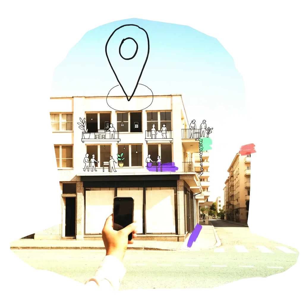
A phone held up to photograph an empty shopfront, with a map pin drawn above it

We publish the address, the kind of building and your description once we have checked it — never your email. Please do not name the people who own or live in a building.

Radars nearby

The other radars in the same country and the nearest beyond. All 134 cities in the atlas

The figure on each card: empty buildings on record.