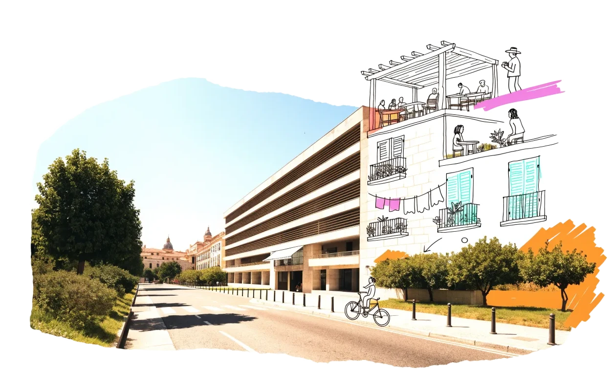
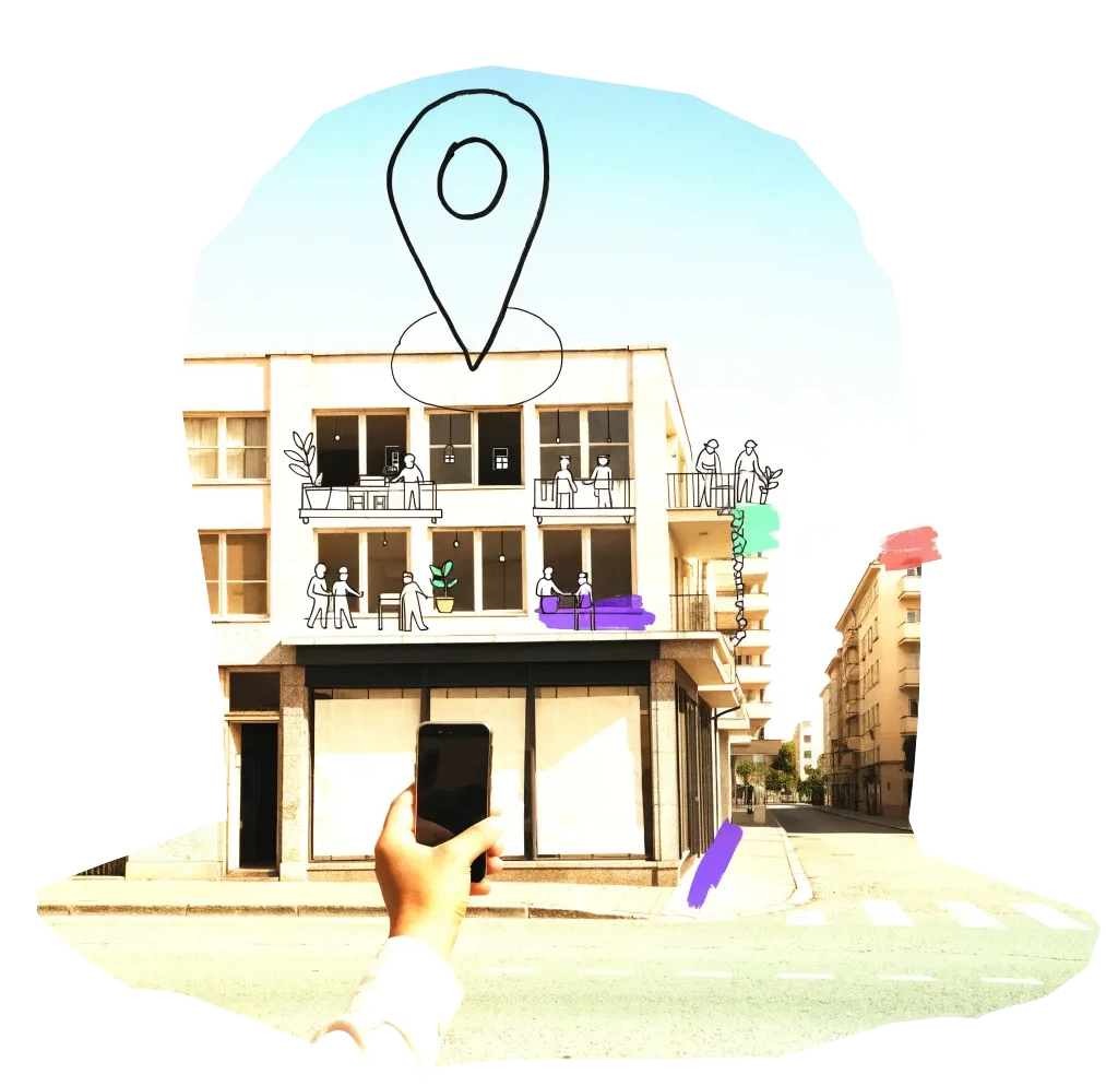
Madrid has almost no empty offices inside the M-30 but more than 12% outside it, a regional law that lets office and hotel plots become protected rental homes without a plan change, and large public estates — army land at Campamento, the old Carabanchel prison, the Chamartín railway lands — turning into neighbourhoods. The city also holds hundreds of unencumbered plots of its own and in 2025 offered three of them free for 75 years to non-profit senior cohousing. Its register names 146 buildings declared in ruin since 2018 — 122 of them because the owner let them decay.
Vacant office space1.39 million m²8.5% of the stock stands empty
On the map9,123buildings and sites from 17 open sources
Homes potential≈ 5,021if 30% of empty offices converted
Office figures: JLL, first half of 2026 — 16.3 million m² of offices, 8.5% available (vacant area = stock × rate, an estimate). Savills puts availability at 2.36% inside the M-30 and 12.37% outside it.. Homes: our economic model’s conversion engine. Map built 2026-10-06.
Switch layers on by the question you are asking. Every point comes from a public record, an open dataset or a cited report; open one to see where it comes from and what the data cannot tell us.
Madrid's open-data portal disallows automated downloads, so the ruin register, the Ley 3/2024 licences and the 2025 property inventory are snapshots downloaded by hand on 6 Oct 2026 — refreshed by repeating the download.
Loading map…
0 points · click a cluster to zoom, a point for its sources
Where to look first
Buildings with evidence that they stand empty — a second source agrees, a public record names them, or we have checked them — ranked by a score you can read: co-op scale, daylight depth, a station nearby, a zone that allows homes, affordable land and an open route in. Checked buildings carry their result; nobody has visited them on site yet.
Score
Building
Floor area
Station
Actions
73
office building, cadastral ref. 2511149VK4821A
Distressed or stranded (named) · office · 1 other source nearby
5,565 m²
298 m
71
Calle de la Pirotecnia, 47
On public land · Industrial · 1 other source nearby
7,082 m²
455 m
68
Plaza Legazpi 7
Public building named vacant · Servicios Administrativos · 1 other source nearby
—
181 m
68
Plaza de la Lealtad, 1
Public building named vacant · Edificio · 1 other source nearby
5,901 m²
337 m
68
office building, cadastral ref. 2511150VK4821A
Distressed or stranded (named) · office · 1 other source nearby
7,116 m²
339 m
66
C/ Berzosa de Lozoya, 3.Not confirmed yet
On public land · Servicios Terciarios Oficinas · 1 other source nearby
Distressed or stranded (named) · residential · 1 other source nearby
2,182 m²
183 m
59
Calle Serrano 3, 2ª Planta
Public building named vacant · Edificio · 1 other source nearby
1,070 m²
120 m
58
Sin Determinar
City vacancy listing · Industria Artesanal de Alimentos En Frio · 2 other sources nearby
—
137 m
58
Loterias y Apuestas del Estado (normalizado S/Orgnismo Nacional)Not confirmed yet
City vacancy listing · Administración de Loterias y Apuestas del Estado · 1 other source nearby
—
97 m
58
Escuela Infantil Denenes 2Not confirmed yet
City vacancy listing · Servicios de Comedor En Centros Educativos y Centros de Cuidado Infantil Escuelas Infanti… · 1 other source nearby
—
221 m
58
Calle de Hermosilla, 146Not confirmed yet
City vacancy listing · Taller - Escuela de Ceramica · 1 other source nearby
—
424 m
58
Calle del Sáhara, 54Not confirmed yet
City vacancy listing · Implantar Una Actividad de Oficinas · 1 other source nearby
—
276 m
Districts where conversion makes sense
Where empty offices, the right zoning and a working neighbourhood come together — and what could go wrong.
Carabanchel and Latina (south-west)
Two large public estates are turning into housing here — the former Campamento army land and the old Carabanchel prison — and the two districts have the most closed shop units in the city.
Campamento: 10,700 homes, up to 65% protected; urbanisation project approved July 2026
Former prison site: 508 protected homes planned on state land moving to Sepes/Casa 47
3,735 (Carabanchel) and 2,677 (Latina) street-level premises recorded as closed in the census of premises
Risk: Both estates are new building on cleared land, led by the state's Casa 47; reuse of existing buildings is limited to street-level premises and small blocks.
Office belt outside the M-30 (A-2 corridor, Campo de las Naciones, Valdebebas)
Almost all of Madrid's empty offices are outside the M-30 ring, and the regional change-of-use law has already moved thousands of homes onto office plots in Valdebebas.
Office availability 12.37% outside the M-30 against 2.36% inside (Savills, H1 2026)
2,638 homes underway in Valdebebas under Law 3/2024
Law 2/2026 (June 2026) extends the regime to hotel plots and private facility plots
Risk: Most Law 3/2024 schemes so far are new buildings on empty office plots, built by developers for protected rent; converting standing office blocks is still rare.
The city's own inventory shows more municipal plots without any right granted here than anywhere else in Madrid — the largest pool of public land a cooperative could bid for.
212 unencumbered municipal plots with a profit use in Vicálvaro, about 1.33 million m² of buildable area (city inventory layer)
Next largest: Carabanchel (37 plots) and Villa de Vallecas (29 plots)
Risk: These are greenfield plots in new peripheral developments with long build-out times, not buildings to reuse.
Dense working-class districts with many closed street-level premises — the raw material for the ground-floor conversions to flats that Madrid already sees in large numbers.
3,550 (Puente de Vallecas) and 2,539 (Tetuán) street-level premises recorded as closed
32,890 closed street-level premises city-wide in the census of premises
Risk: Closed units are single premises in buildings with many owners; assembling a whole building is slow.
Who controls the space, and what a housing cooperative can actually do with them.
Allocation rule
Ayuntamiento de Madrid — senior cohousing concessions
In June 2025 the city offered three municipal plots (Hortaleza, Ciudad Lineal, Usera; 232 homes) on a free 75-year concession to non-profit bodies for senior collaborative housing. A non-profit cooperative of older members fits this model; watch for further rounds.
Ayuntamiento de Madrid — surface-right tenders on municipal residential plots
The city keeps the land and grants surface rights for affordable rental: the first tender (2022) offered 25 plots in five lots for 45 years with capped rents. A cooperative or a non-profit partner can bid for a lot; the land stays municipal.
The inventory layer lists 461 municipal plots with a profit use and no right granted, most of them residential. Use it to propose specific plots for the next surface-right or concession round rather than waiting for the city's own shortlist.
The former Sepes now plans, builds and manages state affordable rental housing, and holds Madrid's two largest public estates in transition — Campamento (10,700 homes) and the former Carabanchel prison. Ask early how blocks will be allocated and whether non-profit operators can take on buildings.
Comunidad de Madrid — change-of-use regime (Law 3/2024, extended by Law 2/2026)
Plots and buildings zoned for offices — and since June 2026 hotels and private facility plots — may be used for housing without changing the plan, if the homes are protected rentals. A cooperative can partner with the owner of an empty office building to use this route.
19 sources connected, 1 waiting for access. We only use data we may lawfully reuse; where a publisher blocks automated access we do not work around it — a person downloads it, or we ask for permission.
Show every source, its licence and when we last read it
Shown while we ask Leerstandsmelder for permission. Reports since 2016 only, with the address, the month reported and a link to each entry; not checked by EHC. From a one-time copy of 4 October 2026 — the API is not fetched, as it disallows automated agents.
Asking for permission
0
Pending
2026-10-06
Credited to Leerstandsmelder.de; asking for permission
Dirección General del Catastro — INSPIRE Buildings (August 2026 release)
Open download
92
Live
2026-10-06
Catastro open data (attribution: Dirección General del Catastro)
What this radar cannot see yet
Madrid's open-data portal disallows automated downloads, so the ruin register, the Ley 3/2024 licences and the 2025 property inventory are snapshots downloaded by hand on 6 Oct 2026 — refreshed by repeating the download.
The Spanish cadastre records each building's condition (functional, declined, ruin) — 316 declined and 89 ruined buildings in Madrid in the August 2026 release — but only as a 117 MB bulk download or a small-area WFS, so it is not yet a live layer.
The census of premises records closure unit by unit; it does not say whether a whole building is empty, and the shop layer shows only closed units with a cadastral reference.
There is no open register of empty homes or of empty office buildings; office availability is published only as market-wide rates by brokers.
The regional viewer of 2,238 office plots eligible for change of use (announced November 2025) could not be found as an open service.
Wikidata's query service disallows automated queries in robots.txt, so no Wikidata layer is included.
Know an empty building we have missed?
Open data cannot see everything. Tell us about a building in Madrid that stands empty or barely used; once we have checked it, it joins the map under “Reported by visitors (checked)”.