Skip to content
Reuse radar

Strasbourg

Strasbourg’s data says little about empty buildings: the Ville’s legal-notice dataset (4,090 acts) holds traffic, tariff and delegation orders, searches for péril and mise en sécurité found no building-safety order, and the Eurométropole reports the vacancy it can count only as homes — 5,500 vacant for more than two years in its 33 communes, 3,500 of them in Strasbourg (LOVAC, 1 January 2024). The radar sees public property and past conversions instead: 59 permits since 2013 created at least 300 m² of homes from offices (30), public buildings (11), workshops and hotels (11), warehouses or industry, among them 8,366 m² of former offices at rue Fritz Kiener; 11 brownfields with no project, led by the State-owned Tour de la Chimie, disused since 2022; and State offices, two of which — the former Chambre régionale des comptes and the computing centre at 17 rue du Général Picquart, handed back to the property service in 2021 — went to the Action Logement foncière for conversion. Office lettings are weak: BNP Paribas Real Estate counts 21,000 m² taken up in the first half of 2026.
Vacant office spaceNot yet measured
Empty buildings on record261 confirmed
On the map373buildings and sites from 10 open sources
Homes potential—not in the economic model’s office data yet

Office figures: BNP Paribas Real Estate, end of June 2026 — 21,000 m² of offices taken up in Strasbourg in the first half (read from its chart of take-up by city); the report gives no vacancy rate or vacant floor area for Strasbourg and no open source for them was found. Map built 2026-10-09.

The map

Every building a record says stands empty, one point per building: filter by type, size and how sure the evidence is, and open one to see who says so. “Opportunities” switches to the co-op lens: public land, conversion potential and projects already under way, every source as its own layer.

There is no open list of empty buildings or homes: the national vacant-homes file (LOVAC) is restricted to public authorities, and no City or Eurométropole list of vacant buildings was found.

Loading map…

0 empty buildings · colour = type, dark ring = confirmed

Check any building in Strasbourg: could it become homes, and could the EHC model work there?

Where to look first

Buildings with evidence that they stand empty — a second source agrees, a public record names them, or we have checked them — ranked by a score you can read: co-op scale, daylight depth, a station nearby, a zone that allows homes, affordable land and an open route in. Checked buildings carry their result; nobody has visited them on site yet. Leerstandsmelder reports join the list when they sit in a large non-residential building and a second source agrees.

PriorityBuildingFloor areaDepthStationConversion checkActions
53Tour de la Chimie (Esplanade campus)Not confirmed yet
Public building named vacant · 1 other source nearby
11,247 m²27.2 m2,198 mA fit only
46Friche
Distressed or stranded (named)
—6.1 m729 m—
465 Rue Fréderic Piton
Distressed or stranded (named) · friche d'habitat
—9.6 m961 m—
38Village Culturel Et Responsable
Distressed or stranded (named) · autre
——276 m—
38X
Distressed or stranded (named) · 2 storeys
—15.3 m1,934 m—
33Eiffel- Constructions Métalliques De Strasbourg
Distressed or stranded (named) · friche industrielle
——1,498 m—
33Ste Eurostop - Relais De Strasbourg ( Shell-Berre)
Distressed or stranded (named) · friche commerciale
——1,733 m—
23Armée.
Distressed or stranded (named) · friche militaire
——2,642 m—

Districts where conversion makes sense

Where empty offices, the right zoning and a working neighbourhood come together — and what could go wrong.

A hand outlining a neighbourhood on a city map, with small houses drawn inside

Centre — gare, Neustadt and Kléber

Half of the city’s tall service buildings (75 of 151) and 26 of its 59 conversion permits lie within about 900 m of the station; the former Chambre régionale des comptes was converted here.

  • 75 of the 151 service buildings of four storeys or more without homes within about 900 m (BD TOPO)
  • 26 conversion permits since 2013, among them 8,203 m² at 4 avenue de la Liberté and 7,784 m² at 84 avenue des Vosges, both public or community buildings (Sitadel)
  • Former Chambre régionale des comptes: 57 student homes on a 50-year building lease (Domial, 2022)

Risk: The centre is dense, listed and expensive; the large public buildings converted here went to social landlords through a State-linked foncière, not through open calls.

3 sources

Esplanade and Krutenau

The university district: the State-owned Tour de la Chimie, disused since 2022, stands on a plot of about 110,000 m², and 7 permits since 2013 converted offices there, among them 8,366 m² at rue Fritz Kiener.

  • Tour de la Chimie: no project recorded (Cerema, 25 March 2024); disused since 2022 (PSS-Archi, citing Savoir(s))
  • 7 conversion permits within about 1 km, the largest 8,366 m² of offices (Sitadel)
  • 22 service buildings of four storeys or more without homes (BD TOPO)

Risk: The plot is State and university land with no project, and the tower is 73.5 m tall and built in 1963; its future is not in any public file found.

4 sources

Deux Rives and the port

The public developer SPL Deux Rives holds former industrial plots here: ten Cartofriches sites lie within about 1.2 km, four of them owned by SPL Deux Rives, two with no project (the Eiffel metal works and the Eurostop service area).

  • Ten Cartofriches sites, four held by SPL Deux Rives and two with no project (Cerema)
  • Three conversion permits since 2013, among them 3,365 m² of homes from former warehouses at 3 rue de la Coopérative (Sitadel)
  • One service building of four storeys or more without homes (BD TOPO)

Risk: The sites are former industrial land inside an urban project run by the public developer, not empty buildings for sale; there are almost no tall service buildings (one).

3 sources

Owners and routes in

Who controls the space, and what a housing cooperative can actually do with them.

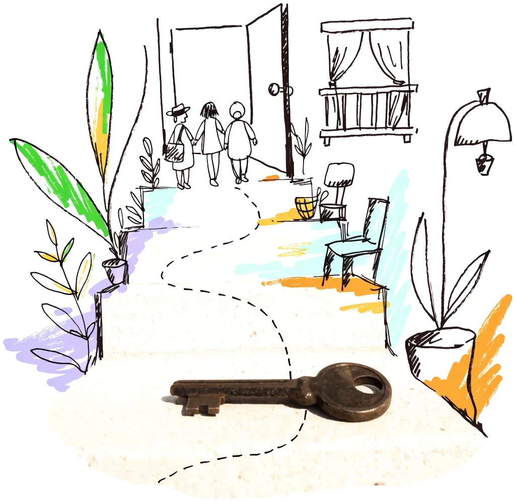
A door key on a doorstep with a drawn path leading to an open door
City agency

Eurométropole de Strasbourg — habitat participatif exchange

The metropolitan site for participatory housing runs a "bourse aux projets" (18 listings when read): groups forming, flats in existing projects and calls for projects on land, among them a Strasbourg buildings-for-sale listing for purchase and collective renovation (Montagne Verte, three flats) and an affordable participatory residence in a historic building at Lyautey. A co-op can join a group or answer the municipal land calls (the fifth, at rue des Chanoines Lux in the Neuhof, was listed when read).

1 source
Subsidy

Eurométropole de Strasbourg — empty homes toolbox

The Eurométropole’s "Mieux relouer mon logement vacant" scheme supports owners of empty homes with works advice, Anah conventions and rental intermediation through its FAC’il platform; complex cases — slum housing, densification potential — are sent to a parcel-level track with the regional land agency (EPF). A co-op that wants whole old buildings in the centre, where the vacancy is concentrated, can ask to be the partner on that track.

1 source
Public owner

Foncière de Transformation Immobilière (Action Logement)

The foncière buys office buildings, among them State offices, and grants social landlords a 50-year building lease: it did so for the former Chambre régionale des comptes (Domial) and is recorded as owner of the 17 rue du Général Picquart site. A housing co-op could be the operator on the same model.

1 source
Allocation rule

State and its companies — public land for public-sector housing (law of 29 June 2026)

Law no. 2026-553 lets the authority depart from a local plan’s destination rules for housing on land held by a public body or public company, if at least half the homes go to public agents or public-service employees. The State’s inventory counts 35 office and finance-centre buildings in Strasbourg.

2 sources

Signals to watch

Decisions, auctions and closures that change what becomes available, and when.

  1. 2026-08-01
    Office lettings in Strasbourg: 21,000 m² in six months

    BNP Paribas Real Estate: take-up in the first half of 2026 in Strasbourg, among seventeen regional markets that together let 28% less than a year earlier.

    1 source
  2. 2026-07-03
    New law on housing in public buildings

    Law no. 2026-553 of 29 June 2026 lets housing projects on public land depart from the plan’s destination rules if at least half the homes go to public agents.

    1 source
  3. 2026
    11,649 private homes empty, 2,767 for two years or more

    Cerema's LOVAC file (tax records) counts 11,649 private homes vacant on 1 January 2025, 2,767 of them for two years or more, against 124,287 private homes. The 2026 edition changed method, so it runs above earlier years; the address-level file goes only to local authorities.

    1 source
  4. 2025-11-06
    Eurométropole reports on its empty-homes work

    Slides for the DREAL Grand Est: 5,500 homes vacant for over two years in the 33 communes, 3,500 in Strasbourg, concentrated in the old districts where building condition, heritage costs and financing weigh most.

    1 source
  5. 2022-10-10
    Building lease signed for the former Chambre régionale des comptes

    Domial and the Foncière de Transformation Immobilière signed the 50-year lease for 57 student homes at 14 rue du Faubourg de Pierre.

    1 source

Sources and freshness

21 sources connected, 1 waiting for access. We only use data we may lawfully reuse; where a publisher blocks automated access we do not work around it — a person downloads it, or we ask for permission.

Show every source, its licence and when we last read it
SourceAccessRecordsStatusLicence
OpenStreetMap disused/abandoned tags and brownfields
OpenStreetMap contributors
Open API37Live
2026-10-09
ODbL 1.0 (© OpenStreetMap contributors)
Rail, S-Bahn and U-Bahn stations (OpenStreetMap)
OpenStreetMap contributors
Open APIscoringLive
2026-10-09
ODbL 1.0 (© OpenStreetMap contributors)
Building heights: GlobalBuildingAtlas (TU Munich)
Zhu, X. X., Chen, S., Zhang, F., Shi, Y., Wang, Y. (2025), Technical University of Munich
GlobalBuildingAtlas: an open global and complete dataset of building polygons, heights and LoD1 3D models. Earth System Science Data 17(12), 6647–6668, doi:10.5194/essd-17-6647-2025. Read from the Parquet copy on Source Cooperative. Satellite-derived heights (typically 1.5–3 m error in Europe), turned into storeys with storey heights fitted on Berlin; used only where no register or official 3D model sizes the building.
Open download2 buildings sizedLive
2026-10-09
CC BY-NC 4.0 (heights); footprints from OpenStreetMap and Microsoft: ODbL
Storeys and heights: BD TOPO buildings (IGN)
Institut national de l’information géographique et forestière (IGN)
Source : IGN – BD TOPO®. Recorded storeys (nombre_d_etages) where given, else the eaves height (lowest roof above lowest ground).
Open API89 buildings sizedLive
2026-10-09
Licence Ouverte 2.0 (Etalab)
Road noise (EU Environmental Noise Directive, Lden)
European Environment Agency
Open APIscoringLive
2026-10-09
EEA standard re-use policy (attribution)
Leerstandsmelder.de — public reports of empty buildings
Leerstandsmelder (Gängeviertel e.V., Hamburg)
Shown while we ask Leerstandsmelder for permission. Reports since 2016 only, with the address, the month reported and a link to each entry; not checked by EHC. Each point says when a report has since been marked demolished, lived in, in interim use or rebuilt on Leerstandsmelder, and the owner type the reporter gave (private owners are never named).
Asking for permission0Pending
2026-10-09
Credited to Leerstandsmelder.de; asking for permission
Open-ended property funds: buildings they report partly empty
Open-ended real-estate funds (each point names its fund and report)
German and Austrian open-ended public property funds must list every property with its vacancy (or letting) rate in their annual and half-year reports. scripts/reuse/import-fund-reports.ts reads those lists; properties at 10 % vacancy or more are shown, those at 25 % or more count as evidence.
Open download0Live
2026-10-09
Published fund report (KAGB / KARBV property list), cited per point
Co-working spaces, department stores, banks, hotels and cinemas listed as permanently closed
Overture Maps Foundation (closure data: BrightQuery company records)
Places with operating_status "permanently_closed" in the monthly Overture release, read by scripts/reuse/import-overture-closures.ts and matched to the building they sit in. A closed business is usually one unit; names are shown only for companies, never for sole traders.
Open download0Live
2026-10-09
CDLA Permissive 2.0 (Overture Maps Foundation)
Land without current use and stalled construction, mapped from satellite imagery (Copernicus Urban Atlas 2006–2018)
European Environment Agency — Copernicus Land Monitoring Service
Urban Atlas class 13400 (brownfields, demolition sites and gaps in the built-up area, 0.25 ha and up) compared across the 2006, 2012 and 2018 editions, so each plot says how long it has stood unused; plus construction sites (13300) already under way in 2012, and 2012 construction sites left unused by 2018. Read from the EEA's open ArcGIS services, the same way in every radar city. The 2021 edition (Copernicus Data Space) drops plots built on since 2018 where scripts/reuse/import-urban-atlas-2021.ts has been run. Points are context, never evidence of vacancy.
Open API27Live
2026-10-09
Copernicus open data (© European Union, Copernicus Land Monitoring Service 2006–2021, EEA)
Stalled construction and buildings held by insolvent developers
EHC research (dated press and court sources per point)
Signa, Adler/Consus and other developer insolvencies since 2022 and stalled sites, each with its latest dated status (src/scripts/data/reuse/stalled-projects.json; news leads from scripts/reuse/mine-news.ts are reviewed before they join).
EHC research0Live
2026-10-09
Cited publisher per point
Church buildings the dioceses and regional churches plan to give up
Catholic dioceses and Protestant regional churches (their building plans), via EHC research
Buildings a church body’s published building plan or recent reporting names as to be given up, without church funding, for sale or lease, or profaned (src/scripts/data/reuse/church-plans.json and brussels-churches.json).
EHC research0Live
2026-10-09
Cited publisher per point
Named buildings and sites from EHC research (each with its own source)
European Housing Coop research
EHC research4Live
2026-10-09
Facts cited to their publishers
Listed buildings: Mérimée (monuments historiques)
Ministère de la Culture (Plateforme ouverte du patrimoine)
Buildings classés or inscrits as monuments historiques, wholly or in part (the part is named). A monument counts when its point lies in the record’s BD TOPO outline or on its façade (within 3 m).
Open downloadscoringLive
2026-10-09
Licence Ouverte 2.0 (Etalab)
Year built: IGN BD TOPO buildings
Institut national de l’information géographique et forestière (IGN)
The date a building appeared (date_d_apparition, from the land tax files) of the BD TOPO building a record sits in.
Open APIscoringLive
2026-10-09
Licence Ouverte 2.0 (Etalab)
Year built and listing: OpenStreetMap building tags
OpenStreetMap contributors
start_date / construction_date and heritage / listed_status of the OpenStreetMap outline a record is matched to, where no register answers. Read with the outline match, not a separate query.
Open APIscoringLive
2026-10-09
ODbL 1.0 (© OpenStreetMap contributors)
Permits turning offices, shops and public buildings into homes (Sitadel, 2013–2026)
SDES (Ministry for Ecological Transition) — Sitadel, list of planning permits creating homes
Open download59Live
2026-10-09
Licence Ouverte Etalab 2.0
Disused sites with no project yet (Cartofriches)
Cerema — Cartofriches (sites référencés, edition 7 October 2026)
Open download11Live
2026-10-09
Licence Ouverte Etalab 2.0
Brownfields with a project, and unchecked former industrial sites (Cartofriches)
Cerema — Cartofriches (sites référencés, edition 7 October 2026)
Open download39Live
2026-10-09
Licence Ouverte Etalab 2.0
Service buildings of four storeys or more with no homes (IGN BD TOPO)
IGN – BD TOPO, via the Géoplateforme
Open API151Live
2026-10-09
Licence Ouverte Etalab 2.0
State-owned offices and administrative buildings (State property inventory, 2021)
DGFiP — Direction de l'immobilier de l'État, Parc de l'immobilier de l'État au 31/12/2021 (data.economie.gouv.fr)
Open API35Live
2026-10-09
Licence Ouverte Etalab 2.0
State buildings handed back to the State's property service for disposal (State property inventory, 2021)
DGFiP — Direction de l'immobilier de l'État, Parc de l'immobilier de l'État au 31/12/2021 (data.economie.gouv.fr)
Open API3Live
2026-10-09
Licence Ouverte Etalab 2.0
State land recorded as wasteland (State property inventory, 2021)
DGFiP — Direction de l'immobilier de l'État, Parc de l'immobilier de l'État au 31/12/2021 (data.economie.gouv.fr)
Open API7Live
2026-10-09
Licence Ouverte Etalab 2.0

What this radar cannot see yet

  • There is no open list of empty buildings or homes: the national vacant-homes file (LOVAC) is restricted to public authorities, and no City or Eurométropole list of vacant buildings was found.
  • Building safety orders were not found: the Ville’s legal-notice dataset (publiactes, 4,090 acts) turned up traffic, tariff and delegation orders for péril and mise en sécurité, and its description mentions only safety orders for equipment, not for buildings.
  • The Eurométropole’s "Bâtiments publics" layer (2,225 buildings, last changed December 2018) names each by category but has no owner or occupancy field.
  • Live disposals of State property (cessions.immobilier-etat.gouv.fr) answer "Access Denied" (403) to automated requests; the inventory used here dates from 2021 and has no occupancy or sale status.
  • BNP Paribas Real Estate gives take-up for Strasbourg but no vacancy rate or vacant floor area, and no open figure was found; the State land and the Tour de la Chimie’s future are not described in any public file read.
  • Former barracks and other military land in the national brownfield file are left out of the descriptions by the radar's rules.

Know an empty building we have missed?

Open data cannot see everything. Tell us about a building in Strasbourg that stands empty or barely used; once we have checked it, it joins the map under “Reported by visitors (checked)”.

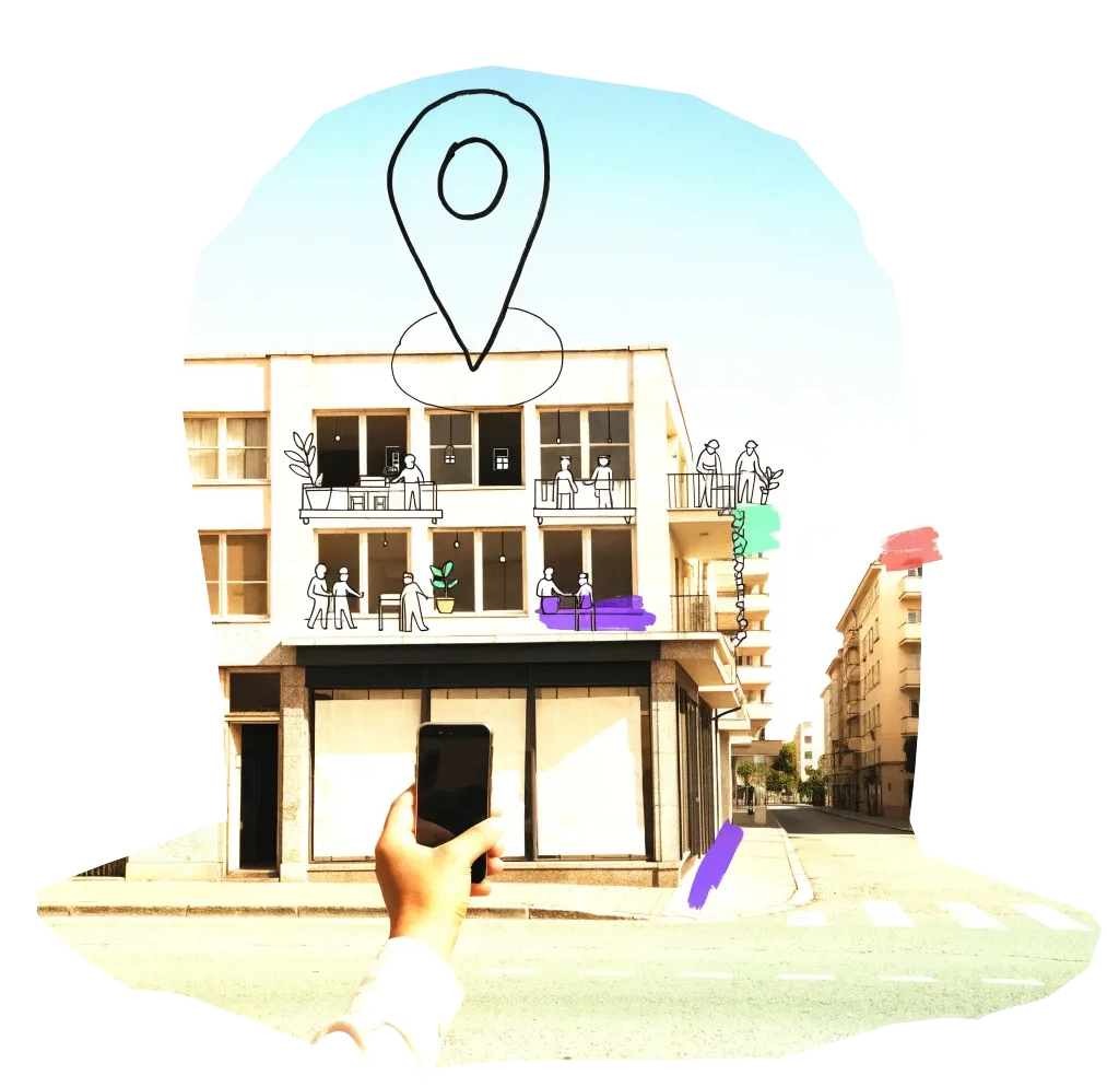
A phone held up to photograph an empty shopfront, with a map pin drawn above it

We publish the address, the kind of building and your description once we have checked it — never your email. Please do not name the people who own or live in a building.

Radars nearby

The other radars in the same country and the nearest beyond. All 134 cities in the atlas

The figure on each card: empty buildings on record.