Skip to content
Reuse radar

Lyon

Lyon's offices are emptying: 7.6% of the market stood vacant in mid-2026 (600,300 m² available at once) while lettings fell to a ten-year low, and since January 2026 the Métropole no longer charges its development tax when offices become homes. Public owners lead the way in: the City is turning school buildings empty since 1989 into social homes on 60-year leases, the Métropole lends empty buildings for temporary use until their projects start and supports habitat participatif with land and leases, and a new cooperative it set up with a housing charity buys vacant flats for people in housing need. Conversions are already under way: since 2013, 76 permits have each created at least 300 m² of homes from offices, shops or public buildings — among them the empty tower of the cancer research agency and a 2026 permit for a housing co-op developer.
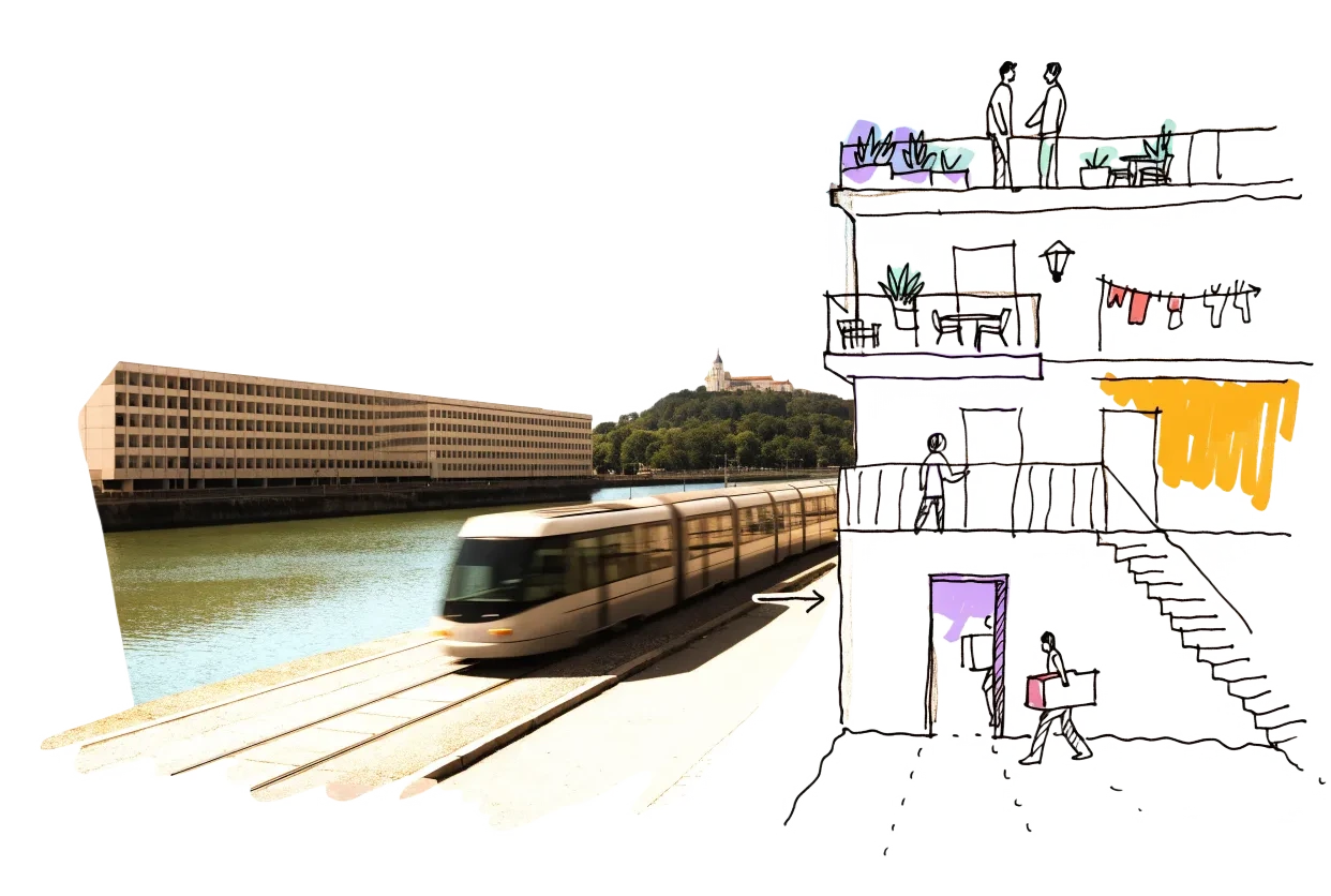
An empty building in Lyon with homes, balconies and neighbours drawn onto it in ink
Vacant office space600,300 m²7.6% of the stock stands empty
Empty buildings on record440 confirmed
On the map526buildings and sites from 9 open sources
Homes potential—not in the economic model’s office data yet

Office figures: JLL, Q2 2026 — immediate supply 600,300 m² and a 7.6% vacancy rate (+0.6 points in a year) for the Lyon office market; 72% of the supply is second-hand. Take-up in the first half of 2026 fell 40% to 63,300 m². Map built 2026-10-09.

The map

Every building a record says stands empty, one point per building: filter by type, size and how sure the evidence is, and open one to see who says so. “Opportunities” switches to the co-op lens: public land, conversion potential and projects already under way, every source as its own layer.

There is no open list of empty buildings or homes: the national vacant-homes file (LOVAC) and the land files are restricted to public authorities.

Loading map…

0 empty buildings · colour = type, dark ring = confirmed

Check any building in Lyon: could it become homes, and could the EHC model work there?

Districts where conversion makes sense

Where empty offices, the right zoning and a working neighbourhood come together — and what could go wrong.

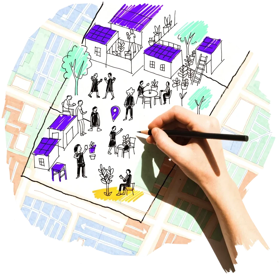
A hand outlining a neighbourhood on a city map, with small houses drawn inside

Part-Dieu and Lyon 3e

The largest office district, with the most tall service buildings, 13 housing reservations in the PLU-H and five temporary-use sites, among them Métropole offices on cours Lafayette.

  • 72 of the 223 service buildings of six storeys or more without homes (BD TOPO)
  • About 300,000 m² of Part-Dieu offices to be regenerated by 2029 (SPL Lyon Part-Dieu)
  • Prime rent €390/m² a year (JLL, Q2 2026)
  • Offices are already being turned into homes: 39 permits since 2013 create at least 300 m² of homes each from former offices across Lyon (Sitadel)

Risk: The Part-Dieu programme aims to regenerate about 300,000 m² of offices by 2029, mostly as offices; prime rents (€390/m² a year) keep values high.

4 sources

Gerland and Guillotière (Lyon 7e)

The most PLU-H housing reservations (22) and temporary-use sites (7) in the city, in former industrial halls and offices the Métropole and its developers own.

  • 22 of the 74 PLU-H housing reservations in Lyon
  • 7 temporary-use sites, e.g. Fagor, Halle Debourg, Halle Girondins
  • 3,157 m² of Métropole offices and hall at 31 bd Yves Farge lent for up to 8 years from March 2026

Risk: Large halls tend to go to productive and cultural uses, and several sites are being cleared for new projects (Nexans).

3 sources

La Duchère (Lyon 9e)

One of Lyon's three national urban renewal (NPNRU) project areas, with five temporary-use sites in buildings owned by the Métropole, SERL and Lyon Métropole Habitat.

  • 5 temporary-use sites, e.g. La duchESSe (Lyon Métropole Habitat) and Les Amazones (Métropole, homes)
  • One of 3 NPNRU project perimeters in the city

Risk: Estate renewal combines demolition and new building; the empty buildings are usually waiting for that project.

2 sources

Lyon 5e (Ménival, Champvert)

Where the City has started turning its own long-empty buildings into homes on long leases.

  • Two buildings empty since 1989 → 22 social homes (of 24), works to early 2027
  • 60-year administrative emphyteutic leases signed 28 November 2025

Risk: Small buildings (22 homes in two) let to a social landlord after a competition — a co-op would have to bid in the same way.

2 sources

Croix-Rousse (Lyon 4e and 1er)

A tight, popular district where the Métropole re-planned a former school on its land as affordable-only housing, and where the PLU-H reserves 20 plots for social or BRS programmes.

  • Former Collège Maurice Scève: 105 homes, 36 social rent + 69 bail réel solidaire
  • 11 PLU-H housing reservations in the 4e, 9 in the 1er

Risk: Few large buildings; prices are among the highest in the city.

2 sources

Lyon 8e (États-Unis, Monplaisir, Grange Blanche)

The City's empty tower of the cancer research agency is becoming about 13,500 m² of mixed use with half the homes affordable, next to the hospital campus and the États-Unis estates.

  • Tour Guillot-Bourdeix: permit for 4,906 m² of homes authorised 21 July 2026 (Sitadel)
  • Reinventing Cities winner 'Impulsion' (Redman, Icade Promotion), July 2023

Risk: Asbestos found late added €3.2 million to the tower's bill (LyonMag), a reminder that 1970s buildings carry hidden costs.

2 sources

Owners and routes in

Who controls the space, and what a housing cooperative can actually do with them.

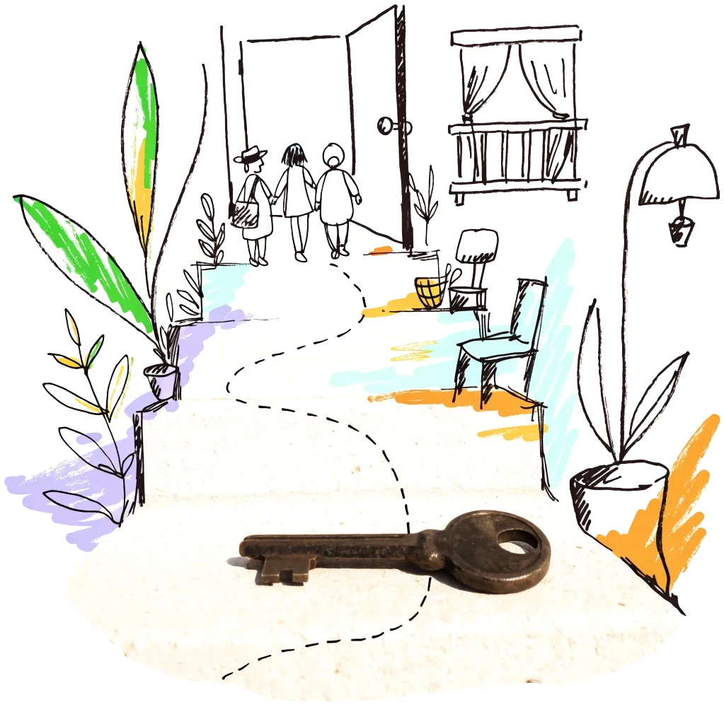
A door key on a doorstep with a drawn path leading to an open door
Public owner

Ville de Lyon — empty municipal buildings on long leases

The City put two school-campus buildings empty since 1989 out to competition and let them for 60 years on administrative emphyteutic leases to a social landlord. A housing co-op can ask for the same treatment for other empty City buildings, alone or with a social landlord. The City says it listed its vacant buildings after the 2020 election and has put 46 back into use since (Lyon Capitale, February 2026).

2 sources
City agency

Métropole de Lyon — temporary use of empty buildings

The Métropole lends empty buildings it owns until their project starts and publishes a call for competing interest before granting each one (31 bd Yves Farge, December 2025). Temporary use is a way to get to know a building and its owner before the long-term decision.

2 sources
Public owner

Coopérative Logement d'Abord (Métropole de Lyon with Solidarités Nouvelles pour le Logement)

A cooperative launched in November 2025 to find, buy and renovate vacant homes and let them to households in need; the Métropole brings 20–50 of its own empty homes and aims for 350, with €14 million invested by 2028. A partner for empty flats inside larger buildings.

1 source

Signals to watch

Decisions, auctions and closures that change what becomes available, and when.

  1. 2026-07-21
    Permit to turn the former IARC tower into homes

    The national permit list records an authorisation for 4,906 m² of homes (76) in the empty tower at 150 cours Albert Thomas (8e), the City's Reinventing Cities site.

    1 source
  2. 2026-07-21
    Office lettings at a low, vacancy up

    Take-up fell 40% in the first half of 2026 and vacancy rose to 7.6% (600,300 m² available).

    1 source
  3. 2026-06-22
    A housing co-op developer converts a public building

    Cap Habitat Coopératif, which sets up housing cooperatives in the region, was granted a permit for 10 homes in 450 m² of former public or community space at 18 rue Charles Porcher (9e).

    1 source
  4. 2026-02-04
    Buildings empty since 1989 become social homes

    The City let two former teachers' residences in the 5e for 60 years; 22 social homes by early 2027.

    1 source
  5. 2026
    24,320 private homes empty, 4,825 for two years or more

    Cerema's LOVAC file (tax records) counts 24,320 private homes vacant on 1 January 2025, 4,825 of them for two years or more, against 263,852 private homes. The 2026 edition changed method, so it runs above earlier years; the address-level file goes only to local authorities.

    1 source
  6. 2025-12-18
    Métropole offices offered for temporary use

    3,157 m² at 31 bd Yves Farge (7e) put to a call for competing interest for an 8-year temporary use.

    1 source
  7. 2025-12-17
    A church closed for twenty years gets a tenant

    The City of Lyon proposed a 50-year lease of the deconsecrated Saint-Bernard church (1er) for a climbing hall, café and offices.

    1 source
  8. 2025-11-13
    A cooperative for vacant homes

    The Métropole and SNL announced the Coopérative Logement d'Abord; private vacant homes in Lyon rose from about 2,900 in 2020 to 5,600 in 2024.

    1 source
  9. 2025-07-16
    Conversions freed from the development tax

    The Métropole voted to exempt changes of use from the taxe d'aménagement from 1 January 2026.

    1 source

Sources and freshness

21 sources connected. We only use data we may lawfully reuse; where a publisher blocks automated access we do not work around it — a person downloads it, or we ask for permission.

Show every source, its licence and when we last read it
SourceAccessRecordsStatusLicence
OpenStreetMap disused/abandoned tags and brownfields
OpenStreetMap contributors
Open API71Live
2026-10-09
ODbL 1.0 (© OpenStreetMap contributors)
Rail, S-Bahn and U-Bahn stations (OpenStreetMap)
OpenStreetMap contributors
Open APIscoringLive
2026-10-09
ODbL 1.0 (© OpenStreetMap contributors)
Building heights: GlobalBuildingAtlas (TU Munich)
Zhu, X. X., Chen, S., Zhang, F., Shi, Y., Wang, Y. (2025), Technical University of Munich
GlobalBuildingAtlas: an open global and complete dataset of building polygons, heights and LoD1 3D models. Earth System Science Data 17(12), 6647–6668, doi:10.5194/essd-17-6647-2025. Read from the Parquet copy on Source Cooperative. Satellite-derived heights (typically 1.5–3 m error in Europe), turned into storeys with storey heights fitted on Berlin; used only where no register or official 3D model sizes the building.
Open download10 buildings sizedLive
2026-10-09
CC BY-NC 4.0 (heights); footprints from OpenStreetMap and Microsoft: ODbL
Storeys and heights: BD TOPO buildings (IGN)
Institut national de l’information géographique et forestière (IGN)
Source : IGN – BD TOPO®. Recorded storeys (nombre_d_etages) where given, else the eaves height (lowest roof above lowest ground).
Open API108 buildings sizedLive
2026-10-09
Licence Ouverte 2.0 (Etalab)
Road noise (EU Environmental Noise Directive, Lden)
European Environment Agency
Open APIscoringLive
2026-10-09
EEA standard re-use policy (attribution)
Leerstandsmelder.de — public reports of empty buildings
Leerstandsmelder (Gängeviertel e.V., Hamburg)
Shown while we ask Leerstandsmelder for permission. Reports since 2016 only, with the address, the month reported and a link to each entry; not checked by EHC. Each point says when a report has since been marked demolished, lived in, in interim use or rebuilt on Leerstandsmelder, and the owner type the reporter gave (private owners are never named).
Asking for permission0Live
2026-10-09
Credited to Leerstandsmelder.de; asking for permission
Open-ended property funds: buildings they report partly empty
Open-ended real-estate funds (each point names its fund and report)
German and Austrian open-ended public property funds must list every property with its vacancy (or letting) rate in their annual and half-year reports. scripts/reuse/import-fund-reports.ts reads those lists; properties at 10 % vacancy or more are shown, those at 25 % or more count as evidence.
Open download0Live
2026-10-09
Published fund report (KAGB / KARBV property list), cited per point
Co-working spaces, department stores, banks, hotels and cinemas listed as permanently closed
Overture Maps Foundation (closure data: BrightQuery company records)
Places with operating_status "permanently_closed" in the monthly Overture release, read by scripts/reuse/import-overture-closures.ts and matched to the building they sit in. A closed business is usually one unit; names are shown only for companies, never for sole traders.
Open download0Live
2026-10-09
CDLA Permissive 2.0 (Overture Maps Foundation)
Land without current use and stalled construction, mapped from satellite imagery (Copernicus Urban Atlas 2006–2018)
European Environment Agency — Copernicus Land Monitoring Service
Urban Atlas class 13400 (brownfields, demolition sites and gaps in the built-up area, 0.25 ha and up) compared across the 2006, 2012 and 2018 editions, so each plot says how long it has stood unused; plus construction sites (13300) already under way in 2012, and 2012 construction sites left unused by 2018. Read from the EEA's open ArcGIS services, the same way in every radar city. The 2021 edition (Copernicus Data Space) drops plots built on since 2018 where scripts/reuse/import-urban-atlas-2021.ts has been run. Points are context, never evidence of vacancy.
Open API8Live
2026-10-09
Copernicus open data (© European Union, Copernicus Land Monitoring Service 2006–2021, EEA)
Stalled construction and buildings held by insolvent developers
EHC research (dated press and court sources per point)
Signa, Adler/Consus and other developer insolvencies since 2022 and stalled sites, each with its latest dated status (src/scripts/data/reuse/stalled-projects.json; news leads from scripts/reuse/mine-news.ts are reviewed before they join).
EHC research0Live
2026-10-09
Cited publisher per point
Church buildings the dioceses and regional churches plan to give up
Catholic dioceses and Protestant regional churches (their building plans), via EHC research
Buildings a church body’s published building plan or recent reporting names as to be given up, without church funding, for sale or lease, or profaned (src/scripts/data/reuse/church-plans.json and brussels-churches.json).
EHC research0Live
2026-10-09
Cited publisher per point
Named buildings and sites from EHC research (each with its own source)
European Housing Coop research
EHC research7Live
2026-10-09
Facts cited to their publishers
Listed buildings: Mérimée (monuments historiques)
Ministère de la Culture (Plateforme ouverte du patrimoine)
Buildings classés or inscrits as monuments historiques, wholly or in part (the part is named). A monument counts when its point lies in the record’s BD TOPO outline or on its façade (within 3 m).
Open downloadscoringLive
2026-10-09
Licence Ouverte 2.0 (Etalab)
Year built: IGN BD TOPO buildings
Institut national de l’information géographique et forestière (IGN)
The date a building appeared (date_d_apparition, from the land tax files) of the BD TOPO building a record sits in.
Open APIscoringLive
2026-10-09
Licence Ouverte 2.0 (Etalab)
Year built and listing: OpenStreetMap building tags
OpenStreetMap contributors
start_date / construction_date and heritage / listed_status of the OpenStreetMap outline a record is matched to, where no register answers. Read with the outline match, not a separate query.
Open APIscoringLive
2026-10-09
ODbL 1.0 (© OpenStreetMap contributors)
Plots reserved for social or bail réel solidaire housing in the PLU-H
Métropole de Lyon — PLU-H (plan local d'urbanisme et de l'habitat), via data.grandlyon.com
Open API74Live
2026-10-09
Licence Ouverte Etalab 2.0 (data.grandlyon.com)
Development orientation areas (OAP) of the PLU-H
Métropole de Lyon — PLU-H, via data.grandlyon.com
Open API38Live
2026-10-09
Licence Ouverte Etalab 2.0 (data.grandlyon.com)
Public buildings lent for temporary use until their project starts (urbanisme transitoire)
Métropole de Lyon — Urbanisme transitoire, via data.grandlyon.com
Open API12Live
2026-10-09
Licence Ouverte Etalab 2.0 (data.grandlyon.com)
Service buildings of six storeys or more with no homes (IGN BD TOPO)
IGN – BD TOPO, via the Géoplateforme
Open API223Live
2026-10-09
Licence Ouverte Etalab 2.0
Permits turning offices, shops and public buildings into homes (Sitadel, 2013–2026)
SDES (Ministry for Ecological Transition) — Sitadel, list of planning permits creating homes
Open download76Live
2026-10-09
Licence Ouverte Etalab 2.0
Brownfields in the national inventory (Cartofriches)
Cerema — Cartofriches (sites référencés, edition 7 October 2026)
Open download17Live
2026-10-09
Licence Ouverte Etalab 2.0

What this radar cannot see yet

  • There is no open list of empty buildings or homes: the national vacant-homes file (LOVAC) and the land files are restricted to public authorities.
  • The City's census of its own vacant buildings (46 put back into use since 2020) is not published; ask the City for the remaining list.
  • Live disposals of State property (cessions.immobilier-etat.gouv.fr) answer 'Access Denied' to automated requests; the open State files on data.economie.gouv.fr hold only sales from 2013–2017 and an energy sample of about 40 State buildings in Lyon, with no occupancy field.
  • The Cerema brownfield API (apidf.cerema.fr) was down (503); the national CSV is read instead and has no vacancy or occupancy filled in for any Lyon site.
  • The topographic database marks only eight small buildings in Lyon as ruins, too few to use.

Know an empty building we have missed?

Open data cannot see everything. Tell us about a building in Lyon that stands empty or barely used; once we have checked it, it joins the map under “Reported by visitors (checked)”.

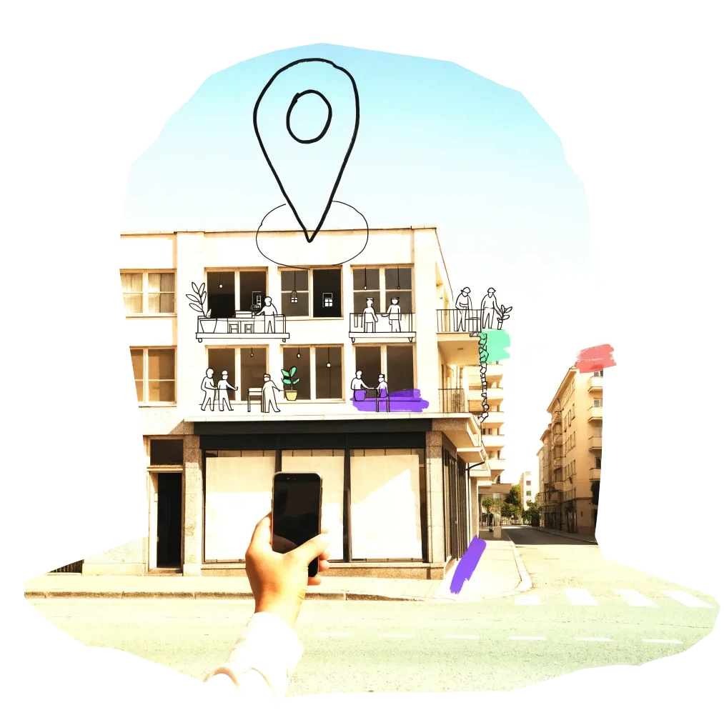
A phone held up to photograph an empty shopfront, with a map pin drawn above it

We publish the address, the kind of building and your description once we have checked it — never your email. Please do not name the people who own or live in a building.

Radars nearby

The other radars in the same country and the nearest beyond. All 134 cities in the atlas

The figure on each card: empty buildings on record.