Skip to content
Reuse radar

Monaco

Monaco publishes no register of empty buildings and no vacancy figure that we could read: the latest census counts 22,577 dwellings, 19.4% of them State-owned, and the press report on it gives no vacant count (Monaco Tribune, 21 May 2026). What is public is a few named cases — the Portier building, a finished five-level shell with no tenant since its operator went bankrupt in September 2025 (Monaco Life), and business premises that the Mairie advertises by call for applications. The radar adds the mapped office stock and OpenStreetMap's disused tags; nothing here is a vacancy register.
Vacant office spaceNot yet measured
Empty buildings on record11 confirmed
On the map11buildings and sites from 2 open sources
Homes potential—not in the economic model’s office data yet

Office figures: No Monaco office vacancy figure was found in any source we could open; the office-market reports that surfaced cover the Île-de-France and Luxembourg, not the Principality. Map built 2026-10-09.

The map

Every building a record says stands empty, one point per building: filter by type, size and how sure the evidence is, and open one to see who says so. “Opportunities” switches to the co-op lens: public land, conversion potential and projects already under way, every source as its own layer.

No vacancy register or vacancy figure for Monaco was found. The press report on the latest census (Monaco Tribune, 21 May 2026) gives 22,577 dwellings and the State's 19.4% share but no vacant count; earlier census reports counted vacant dwellings, but the Government's PDFs (the 2016 census report, the 2023 housing study that reports State flats temporarily unoccupied) timed out or were refused, and the statistics office's site (imsee.mc) answers our requests with a 403 'Request Rejected', so no vacancy figure is quoted.

Loading map…

0 empty buildings · colour = type, dark ring = confirmed

Check any building in Monaco: could it become homes, and could the EHC model work there?

Where to look first

Buildings with evidence that they stand empty — a second source agrees, a public record names them, or we have checked them — ranked by a score you can read: co-op scale, daylight depth, a station nearby, a zone that allows homes, affordable land and an open route in. Checked buildings carry their result; nobody has visited them on site yet. Leerstandsmelder reports join the list when they sit in a large non-residential building and a second source agrees.

PriorityBuildingFloor areaDepthStationActions
26Portier building (former NeueHouse flagship), Larvotto
Stalled or insolvent project
—22.6 m909 m

Districts where conversion makes sense

Where empty offices, the right zoning and a working neighbourhood come together — and what could go wrong.

A hand outlining a neighbourhood on a city map, with small houses drawn inside

Larvotto — the Portier building

A five-level, 150-metre building on the former Portier roundabout stands as a shell with no confirmed tenant; the State says it remains committed to it.

  • Five levels, a 150-metre-long structure beside Mareterra
  • Shell due by the end of 2025; interior bare
  • NeueHouse filed for bankruptcy in September 2025

Risk: A State-backed, operator-led brief on a prime waterfront site; the interior layout waits for a tenant, and no floor area or owner structure is published.

1 source

Monte-Carlo — Avenue Saint-Charles

The Mairie lets vacated commercial premises from its communal estate by call for applications; the former Habitat store was one.

  • Store closed 30 November 2023
  • 497.5 m² second floor plus 81 m² storage
  • Seven-year occupancy offered by the Domaine Communal

Risk: Commercial rents (€305,000 a year for 497.5 m²) and single floors rather than whole buildings.

1 source

Owners and routes in

Who controls the space, and what a housing cooperative can actually do with them.

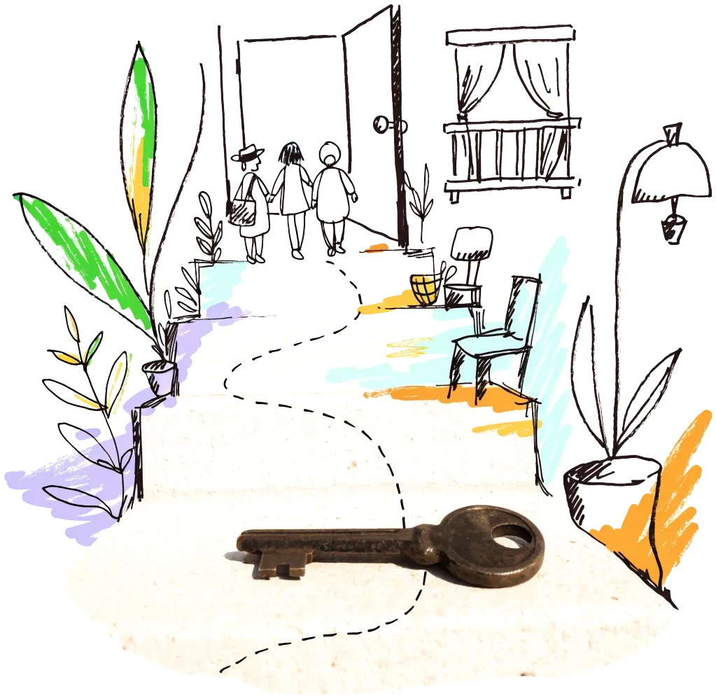
A door key on a doorstep with a drawn path leading to an open door
Public owner

Government of the Principality (State housing and development)

The State holds 19.4% of the dwellings (about 38% of those in Fontvieille) and stays committed to the unlet Portier building. A co-operative's route is as a partner of the Government on State-held or State-backed buildings; Monaco has no open disposal list.

2 sources

Signals to watch

Decisions, auctions and closures that change what becomes available, and when.

  1. 2026-05-21
    Census: 22,577 dwellings, 19.4% State-owned

    The latest census shows 22,577 dwellings, up 1.8% in a year; the State owns 19.4% of the stock, nearly 38% in Fontvieille against 1.1% in Larvotto.

    1 source
  2. 2025-10-29
    NeueHouse bankruptcy leaves the Portier building without an operator

    The five-level building is structurally close to completion with a bare interior; the State remains committed and talks with other operators are believed to be under way.

    1 source
  3. 2024-07-23
    Mairie calls for a tenant for the former Habitat store

    Second-floor premises of 497.5 m² on Avenue Saint-Charles, closed since 30 November 2023, offered on a seven-year occupancy.

    1 source

Sources and freshness

12 sources connected, 1 waiting for access. We only use data we may lawfully reuse; where a publisher blocks automated access we do not work around it — a person downloads it, or we ask for permission.

Show every source, its licence and when we last read it
SourceAccessRecordsStatusLicence
OpenStreetMap disused/abandoned tags and brownfields
OpenStreetMap contributors
Open API0Live
2026-10-09
ODbL 1.0 (© OpenStreetMap contributors)
Rail, S-Bahn and U-Bahn stations (OpenStreetMap)
OpenStreetMap contributors
Open APIscoringLive
2026-10-09
ODbL 1.0 (© OpenStreetMap contributors)
Building heights: GlobalBuildingAtlas (TU Munich)
Zhu, X. X., Chen, S., Zhang, F., Shi, Y., Wang, Y. (2025), Technical University of Munich
GlobalBuildingAtlas: an open global and complete dataset of building polygons, heights and LoD1 3D models. Earth System Science Data 17(12), 6647–6668, doi:10.5194/essd-17-6647-2025. Read from the Parquet copy on Source Cooperative. Satellite-derived heights (typically 1.5–3 m error in Europe), turned into storeys with storey heights fitted on Berlin; used only where no register or official 3D model sizes the building.
Open download0 buildings sizedLive
2026-10-09
CC BY-NC 4.0 (heights); footprints from OpenStreetMap and Microsoft: ODbL
Road noise (EU Environmental Noise Directive, Lden)
European Environment Agency
Open APIscoringLive
2026-10-09
EEA standard re-use policy (attribution)
Leerstandsmelder.de — public reports of empty buildings
Leerstandsmelder (Gängeviertel e.V., Hamburg)
Shown while we ask Leerstandsmelder for permission. Reports since 2016 only, with the address, the month reported and a link to each entry; not checked by EHC. Each point says when a report has since been marked demolished, lived in, in interim use or rebuilt on Leerstandsmelder, and the owner type the reporter gave (private owners are never named).
Asking for permission0Pending
2026-10-09
Credited to Leerstandsmelder.de; asking for permission
Open-ended property funds: buildings they report partly empty
Open-ended real-estate funds (each point names its fund and report)
German and Austrian open-ended public property funds must list every property with its vacancy (or letting) rate in their annual and half-year reports. scripts/reuse/import-fund-reports.ts reads those lists; properties at 10 % vacancy or more are shown, those at 25 % or more count as evidence.
Open download0Live
2026-10-09
Published fund report (KAGB / KARBV property list), cited per point
Co-working spaces, department stores, banks, hotels and cinemas listed as permanently closed
Overture Maps Foundation (closure data: BrightQuery company records)
Places with operating_status "permanently_closed" in the monthly Overture release, read by scripts/reuse/import-overture-closures.ts and matched to the building they sit in. A closed business is usually one unit; names are shown only for companies, never for sole traders.
Open download0Live
2026-10-09
CDLA Permissive 2.0 (Overture Maps Foundation)
Land without current use and stalled construction, mapped from satellite imagery (Copernicus Urban Atlas 2006–2018)
European Environment Agency — Copernicus Land Monitoring Service
Urban Atlas class 13400 (brownfields, demolition sites and gaps in the built-up area, 0.25 ha and up) compared across the 2006, 2012 and 2018 editions, so each plot says how long it has stood unused; plus construction sites (13300) already under way in 2012, and 2012 construction sites left unused by 2018. Read from the EEA's open ArcGIS services, the same way in every radar city. The 2021 edition (Copernicus Data Space) drops plots built on since 2018 where scripts/reuse/import-urban-atlas-2021.ts has been run. Points are context, never evidence of vacancy.
Open API0Live
2026-10-09
Copernicus open data (© European Union, Copernicus Land Monitoring Service 2006–2021, EEA)
Stalled construction and buildings held by insolvent developers
EHC research (dated press and court sources per point)
Signa, Adler/Consus and other developer insolvencies since 2022 and stalled sites, each with its latest dated status (src/scripts/data/reuse/stalled-projects.json; news leads from scripts/reuse/mine-news.ts are reviewed before they join).
EHC research0Live
2026-10-09
Cited publisher per point
Church buildings the dioceses and regional churches plan to give up
Catholic dioceses and Protestant regional churches (their building plans), via EHC research
Buildings a church body’s published building plan or recent reporting names as to be given up, without church funding, for sale or lease, or profaned (src/scripts/data/reuse/church-plans.json and brussels-churches.json).
EHC research0Live
2026-10-09
Cited publisher per point
Named buildings and sites from EHC research (each with its own source)
European Housing Coop research
EHC research2Live
2026-10-09
Facts cited to their publishers
Year built and listing: OpenStreetMap building tags
OpenStreetMap contributors
start_date / construction_date and heritage / listed_status of the OpenStreetMap outline a record is matched to, where no register answers. Read with the outline match, not a separate query.
Open APIscoringLive
2026-10-09
ODbL 1.0 (© OpenStreetMap contributors)
Office buildings mapped on OpenStreetMap
OpenStreetMap contributors (via overpass.openstreetmap.fr)
Open API9Live
2026-10-09
ODbL 1.0

What this radar cannot see yet

  • No vacancy register or vacancy figure for Monaco was found. The press report on the latest census (Monaco Tribune, 21 May 2026) gives 22,577 dwellings and the State's 19.4% share but no vacant count; earlier census reports counted vacant dwellings, but the Government's PDFs (the 2016 census report, the 2023 housing study that reports State flats temporarily unoccupied) timed out or were refused, and the statistics office's site (imsee.mc) answers our requests with a 403 'Request Rejected', so no vacancy figure is quoted.
  • The Government's open-data portal (data.gouv.mc forwards to data.gouvernement.mc) is a JavaScript application: every API route we tried returned its home page, and monaco.gouv.mc answered our requests with an empty reply. No dataset could be read.
  • No building register with use, storeys, owner or floor area is open; floor areas come from the Global Building Atlas only. The mapped office stock is 9 buildings.
  • The most-quoted 'abandoned villa at the entrance to Monaco' (Villa Dixie) is in Cap d'Ail, France, outside the Principality, and is left out.
  • A person could ask the Direction des Domaines which State and communal buildings stand vacant between lettings, and the Mairie for its premises list; neither is published.

Know an empty building we have missed?

Open data cannot see everything. Tell us about a building in Monaco that stands empty or barely used; once we have checked it, it joins the map under “Reported by visitors (checked)”.

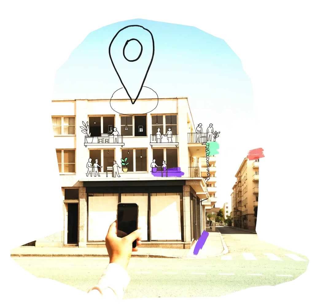
A phone held up to photograph an empty shopfront, with a map pin drawn above it

We publish the address, the kind of building and your description once we have checked it — never your email. Please do not name the people who own or live in a building.

Radars nearby

The nearest radars. All 134 cities in the atlas

The figure on each card: empty buildings on record.