Skip to content
Reuse radar

Bucharest

Bucharest publishes no register of empty buildings, and City Hall told a newspaper in 2022 that it holds no list of abandoned ones. What the City does publish is the seismic-risk list of its own agency: 2,798 assessed buildings, 415 in class RsI and about 1,450 more in an urgency category awaiting a class, most built before 1945. The City owns about 4,000 properties, many unused or decaying (Forbes Romania, April 2026), and each sector council taxes buildings it calls neglected by up to 500%. Offices are 11.6% empty, the lowest since 2020.
Vacant office space396,700 m²11.6% of the stock stands empty
Empty buildings on record112and 1 more with an empty shop, flat or floor; of all 113, 12 confirmed
On the map2,637buildings and sites from 7 open sources
Homes potential—not in the economic model’s office data yet

Office figures: Cushman & Wakefield Echinox — 3,429,500 m² of modern offices, 396,700 m² available (11.6%) in Q2 2026, the lowest since Q3 2020; older stock not counted. Map built 2026-10-09.

The map

Every building a record says stands empty, one point per building: filter by type, size and how sure the evidence is, and open one to see who says so. “Opportunities” switches to the co-op lens: public land, conversion potential and projects already under way, every source as its own layer.

No register of empty buildings, no open property register of the City, the sectors or the State, and no open cadastre of buildings with use or storeys (ANCPI's data is under tariff and its geoportal no longer resolves) — floor areas come from the Global Building Atlas, and the seismic list gives storeys only for the buildings on it.

Loading map…

0 empty buildings · colour = type, dark ring = confirmed

Check any building in Bucharest: could it become homes, and could the EHC model work there?

Where to look first

Buildings with evidence that they stand empty — a second source agrees, a public record names them, or we have checked them — ranked by a score you can read: co-op scale, daylight depth, a station nearby, a zone that allows homes, affordable land and an open route in. Checked buildings carry their result; nobody has visited them on site yet. Leerstandsmelder reports join the list when they sit in a large non-residential building and a second source agrees.

PriorityBuildingFloor areaDepthStationConversion checkActions
74Imobil Cu Destinatia De Birouri – Institutia Avocatul Poporului
Distressed or stranded (named) · 4 storeys · 1 other source nearby
2,104 m²12.6 m455 mA land worth more than the co-op could pay (Below €250/m²)
73„teatrul Foarte Mic"
Distressed or stranded (named) · 6 storeys · 1 other source nearby
2,034 m²11.8 m224 mA works up to €250–500/m²
71Strada Academiei 15, Sector 1, București
Distressed or stranded (named) · 4 storeys · 1 other source nearby
1,760 m²13.2 m264 mA works up to €500–750/m²
69Strada Grigore Alexandrescu 75, Sector 1, București
Distressed or stranded (named) · 4 storeys · 1 other source nearby
2,288 m²14.7 m695 mA works up to €500–750/m²
68Strada Romulus 2, Sector 2, București
Distressed or stranded (named) · 4 storeys · 1 other source nearby
2,240 m²15.5 m840 mA works up to €500–750/m²
68Strada Frumoasa 29, Sector 1, București
Distressed or stranded (named) · 3 storeys · 2 other sources nearby
1,512 m²12.3 m407 mA works up to €500–750/m²
68Strada Sevastopol 32 — building taxed 100% for neglect
Distressed or stranded (named) · 1 other source nearby
2,655 m²18.4 m227 mA fit only
68Str. Lipscani nr. 19, București
Public building named vacant · 4 other sources nearby
3,108 m²—496 m—
66Bulevardul Lascar Catargiu 7, Sector 1, București
Distressed or stranded (named) · 5 storeys · 1 other source nearby
4,960 m²17.9 m286 mA works up to €500–750/m²
64Str. Vasile Conta nr. 3-5, sector 2, București - garaj
Public building named vacant · garage · 2 other sources nearby
1,632 m²—436 m—

Districts where conversion makes sense

Where empty offices, the right zoning and a working neighbourhood come together — and what could go wrong.

A hand outlining a neighbourhood on a city map, with small houses drawn inside

Calea Moșilor – Calea Griviței axis (Sectors 1, 2, 3)

The two long old avenues east and north of the centre hold the densest runs of buildings on the City's seismic list and several taxed as neglected, among them a City-owned monument and the Hotel Dunărea ruin.

  • Calea Moșilor: 36 buildings on the AMCCRS list in class RsI or an urgency category; Calea Griviței: 25
  • Hotel Dunărea (Calea Griviței 138C): tax +500% in December 2024
  • Hanul Solacolu (Calea Moșilor 134): City-owned, 8.2 million lei safeguarding approved 2023

Risk: Many buildings are lived in or let, and a seismic class is not an empty building; consolidation first, reuse second.

3 sources

Centrul Vechi and the old centre (Sectors 1, 3, 5)

Lipscani, Coltei, Strada Franceză and Academiei are packed with pre-1945 buildings on the seismic list, close to the squares and metro.

  • Lipscani: 24 listed buildings; Coltei: 21; Strada Franceză: 21
  • Former Hotel Muntenia (Academiei 19–21) in class RsI, six storeys, no flats listed
  • Facade programme excludes RsI buildings (July 2026)

Risk: The City's new facade programme (the City pays 70%) excludes class RsI buildings until they are consolidated, and heritage rules slow every change.

2 sources

Sector 2 east (Pache Protopopescu – Chiristigiilor)

Sector 2 has the most buildings on the seismic list (886 of 2,798) and began deciding neglected-building taxes building by building in 2026.

  • 886 of the 2,798 listed buildings are in Sector 2
  • Pache Protopopescu: 20 listed buildings
  • Chiristigiilor 38–40: tax +500% from 2027 (decision 82/2026)

Risk: The sector's lists are decisions published one at a time; there is no map and no statement of which buildings are empty.

2 sources

Owners and routes in

Who controls the space, and what a housing cooperative can actually do with them.

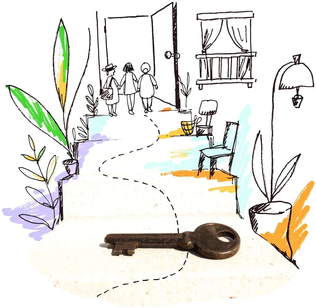
A door key on a doorstep with a drawn path leading to an open door
Public owner

Municipiul București — the City's own portfolio

The City owns about 4,000 properties, many unused, blocked in restitution or in advanced decay, and says it will assess each one for concession or a public–private partnership. A co-op could propose a repair-and-operate concession for a City building like Hanul Solacolu, already in City hands since 2022.

2 sources
City agency

AMCCRS — the City's seismic agency

The agency keeps the list and administers buildings the City has taken over. A co-op can read the list for class RsI buildings with no flats (36 of the 415) and approach their owners with a buy-and-consolidate or lease-and-consolidate offer; state money for consolidating high-risk buildings flows through PNCCRS, whose payments are published monthly.

2 sources

Signals to watch

Decisions, auctions and closures that change what becomes available, and when.

  1. 2026-07-30
    City facade programme

    The City will pay 70% of facade repairs on degraded buildings, starting in protected areas; owners who refuse face a tax rise of up to 500%. Class RsI buildings are excluded.

    1 source
  2. 2026-07
    Office vacancy at a five-year low

    11.6% of 3.43 million m² of modern offices available in Q2 2026, the lowest since Q3 2020; no new building delivered in the half-year, about 215,000 m² under construction.

    1 source
  3. 2026-04-24
    City Hall to assess its 4,000 properties

    Many are unused, run below capacity or legally blocked; the City wants to concession them or bring them into public–private partnerships.

    1 source
  4. 2024-12-20
    Sector 1 taxes 13 decaying buildings

    Including the ruin of Hotel Dunărea at Gara de Nord, taxed six times the normal rate.

    2 sources
  5. 2023-06-30
    Hanul Solacolu to be safeguarded

    City-owned monument at risk of collapse; 8.2 million lei for first safeguarding works.

    1 source
  6. 2022-12-31
    No list of abandoned buildings

    City Hall said it holds no list of abandoned buildings, because they are private property.

    1 source

Sources and freshness

15 sources connected, 1 waiting for access. We only use data we may lawfully reuse; where a publisher blocks automated access we do not work around it — a person downloads it, or we ask for permission.

Show every source, its licence and when we last read it
SourceAccessRecordsStatusLicence
OpenStreetMap disused/abandoned tags and brownfields
OpenStreetMap contributors
Open API186Live
2026-10-09
ODbL 1.0 (© OpenStreetMap contributors)
Rail, S-Bahn and U-Bahn stations (OpenStreetMap)
OpenStreetMap contributors
Open APIscoringLive
2026-10-09
ODbL 1.0 (© OpenStreetMap contributors)
Building heights: GlobalBuildingAtlas (TU Munich)
Zhu, X. X., Chen, S., Zhang, F., Shi, Y., Wang, Y. (2025), Technical University of Munich
GlobalBuildingAtlas: an open global and complete dataset of building polygons, heights and LoD1 3D models. Earth System Science Data 17(12), 6647–6668, doi:10.5194/essd-17-6647-2025. Read from the Parquet copy on Source Cooperative. Satellite-derived heights (typically 1.5–3 m error in Europe), turned into storeys with storey heights fitted on Berlin; used only where no register or official 3D model sizes the building.
Open download459 buildings sizedLive
2026-10-09
CC BY-NC 4.0 (heights); footprints from OpenStreetMap and Microsoft: ODbL
Road noise (EU Environmental Noise Directive, Lden)
European Environment Agency
Open APIscoringLive
2026-10-09
EEA standard re-use policy (attribution)
Leerstandsmelder.de — public reports of empty buildings
Leerstandsmelder (Gängeviertel e.V., Hamburg)
Shown while we ask Leerstandsmelder for permission. Reports since 2016 only, with the address, the month reported and a link to each entry; not checked by EHC. Each point says when a report has since been marked demolished, lived in, in interim use or rebuilt on Leerstandsmelder, and the owner type the reporter gave (private owners are never named).
Asking for permission0Pending
2026-10-09
Credited to Leerstandsmelder.de; asking for permission
Open-ended property funds: buildings they report partly empty
Open-ended real-estate funds (each point names its fund and report)
German and Austrian open-ended public property funds must list every property with its vacancy (or letting) rate in their annual and half-year reports. scripts/reuse/import-fund-reports.ts reads those lists; properties at 10 % vacancy or more are shown, those at 25 % or more count as evidence.
Open download0Live
2026-10-09
Published fund report (KAGB / KARBV property list), cited per point
Co-working spaces, department stores, banks, hotels and cinemas listed as permanently closed
Overture Maps Foundation (closure data: BrightQuery company records)
Places with operating_status "permanently_closed" in the monthly Overture release, read by scripts/reuse/import-overture-closures.ts and matched to the building they sit in. A closed business is usually one unit; names are shown only for companies, never for sole traders.
Open download0Live
2026-10-09
CDLA Permissive 2.0 (Overture Maps Foundation)
Land without current use and stalled construction, mapped from satellite imagery (Copernicus Urban Atlas 2006–2018)
European Environment Agency — Copernicus Land Monitoring Service
Urban Atlas class 13400 (brownfields, demolition sites and gaps in the built-up area, 0.25 ha and up) compared across the 2006, 2012 and 2018 editions, so each plot says how long it has stood unused; plus construction sites (13300) already under way in 2012, and 2012 construction sites left unused by 2018. Read from the EEA's open ArcGIS services, the same way in every radar city. The 2021 edition (Copernicus Data Space) drops plots built on since 2018 where scripts/reuse/import-urban-atlas-2021.ts has been run. Points are context, never evidence of vacancy.
Open API158Live
2026-10-09
Copernicus open data (© European Union, Copernicus Land Monitoring Service 2006–2021, EEA)
Stalled construction and buildings held by insolvent developers
EHC research (dated press and court sources per point)
Signa, Adler/Consus and other developer insolvencies since 2022 and stalled sites, each with its latest dated status (src/scripts/data/reuse/stalled-projects.json; news leads from scripts/reuse/mine-news.ts are reviewed before they join).
EHC research0Live
2026-10-09
Cited publisher per point
Church buildings the dioceses and regional churches plan to give up
Catholic dioceses and Protestant regional churches (their building plans), via EHC research
Buildings a church body’s published building plan or recent reporting names as to be given up, without church funding, for sale or lease, or profaned (src/scripts/data/reuse/church-plans.json and brussels-churches.json).
EHC research0Live
2026-10-09
Cited publisher per point
Named buildings and sites from EHC research (each with its own source)
European Housing Coop research
EHC research5Live
2026-10-09
Facts cited to their publishers
Year built and listing: OpenStreetMap building tags
OpenStreetMap contributors
start_date / construction_date and heritage / listed_status of the OpenStreetMap outline a record is matched to, where no register answers. Read with the outline match, not a separate query.
Open APIscoringLive
2026-10-09
ODbL 1.0 (© OpenStreetMap contributors)
Buildings on the City's seismic-risk list: class RsI (collapse risk) or an urgency category U1–U3 awaiting a class
Agenția Municipală pentru Consolidarea Clădirilor cu Risc Seismic (AMCCRS), City of Bucharest
Open API1,423Live
2026-10-09
No licence stated — public information under Law 544/2001, shown with credit to AMCCRS / the City of Bucharest
Neglected buildings on which the six sector councils raised the building tax by up to 500% (Sectors 1 and 2, with a few from 5 and 6)
the six sector councils (council decisions), read from the Index normativ local (hcl.usr.ro)
Open download126Live
2026-10-09
Official council decisions (public acts, outside copyright under Law 8/1996 art. 9); the index states no licence — shown with credit to the council and hcl.usr.ro
Office buildings mapped on OpenStreetMap
OpenStreetMap contributors (via overpass.openstreetmap.fr)
Open API730Live
2026-10-09
ODbL 1.0
State properties RA-APPS lists as unoccupied (list of 10 Jun 2026)
RA-APPS — Regia Autonomă „Administrația Patrimoniului Protocolului de Stat”
Open download9Live
2026-10-09
not stated — credited to the publisher

What this radar cannot see yet

  • No register of empty buildings, no open property register of the City, the sectors or the State, and no open cadastre of buildings with use or storeys (ANCPI's data is under tariff and its geoportal no longer resolves) — floor areas come from the Global Building Atlas, and the seismic list gives storeys only for the buildings on it.
  • The seismic list rates danger, not emptiness, and has no coordinates: 2,096 of 2,798 rows were placed through OpenStreetMap addresses; a person must check which are empty. No licence is stated; the City has not been asked whether it may be republished.
  • The neglected-building tax decisions are council PDFs read through a civic index (OCR): Sectors 1 and 2 are read, Sector 3's decisions appear only as bare numbers, Sector 4's as one decision, and 43 of 170 addresses could not be placed on OpenStreetMap.
  • The urban data bank of rapid visual assessments that the City and the sectors fill is not published; ANAF's online auction platform forbids automated copying, so seized property for sale is not read.
  • Aerial photos come from the 2017–2020 national orthophoto at 1.5 m resolution — enough to see roofs and courtyards, not to count windows.

Know an empty building we have missed?

Open data cannot see everything. Tell us about a building in Bucharest that stands empty or barely used; once we have checked it, it joins the map under “Reported by visitors (checked)”.

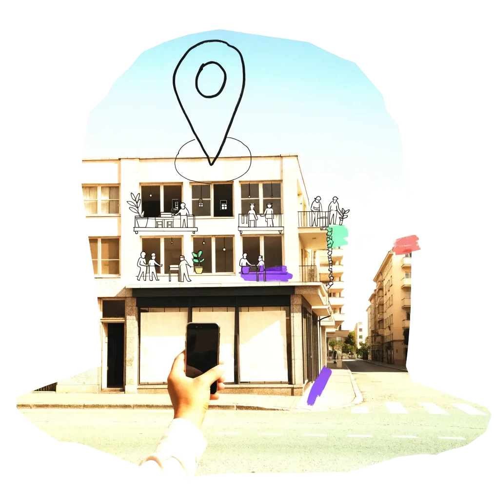
A phone held up to photograph an empty shopfront, with a map pin drawn above it

We publish the address, the kind of building and your description once we have checked it — never your email. Please do not name the people who own or live in a building.

Radars nearby

The other radars in the same country and the nearest beyond. All 134 cities in the atlas

The figure on each card: empty buildings on record.