Skip to content
Reuse radar

Brussels

The radar treats the 19-commune Brussels-Capital Region as the city: the City of Brussels municipality is only one of the 19. The Region has about 13 million m² of offices, 8% of them empty in mid-2026, and a steady flow of conversions — 358 planning files since 2018 put homes in place of offices, workshops or shops. Public land sits mostly in regional strategic sites, and the social-housing company is now selling two buildings it bought for social homes.
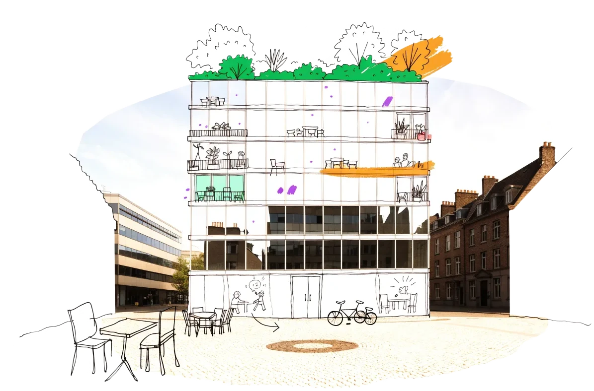
An empty building in Brussels with homes, balconies and neighbours drawn onto it in ink
Empty buildings on record
99
and 1,040 more with an empty shop, flat or floor
Vacant office space
988,500 m²
7.5% of the stock
Homes potential
≈ 3,930
if 30% of empty offices converted

Office figures: BNP Paribas Real Estate, Brussels office dashboard Q2 2026 — 13.18 million m² of offices including the periphery, 7.5% vacant (vacant area = stock × rate, an estimate); JLL put rental vacancy at 8.0% at end-H1 2026. Homes: our economic model’s conversion engine. Map built 2026-10-11.

In 3D, from today’s sources — a potential we spotted, not a plan.

Empty buildings in Brussels

One point per building, from public records, open data and cited reports. Filter by type, size and how sure the evidence is; open one to see who says so and whether it could become homes.

The Region's inventory of unused business sites (sites d'activité inexploités) is not published as data — it is only reported plot by plot in planning-information letters — so empty industrial and office sites are not on the map.

Loading map…
Colour = type of building named officially likely reported
Missing a building?

Check any building in Brussels: could it become homes, and could the EHC model work there?

18 more buildings in Brussels reported in the news, not yet on the map

The articles do not give an address we could place, so these have no pin yet. From news reports, summed up in our own words with a link to each article — not checked on site by EHC.

  • 9 rue Ducale (cabinet du ministre-président), rue Ducale 7-9, Brussels — reported for sale or to let · formerly administrative offices · owner: Région de Bruxelles-CapitaleThe regional budget deal plans to sell the complex housing the minister-president's office on rue Ducale and boulevard du Régent. BX1 (2026-10-05)
  • ancien siège de la RTBF — reported demolition planned · formerly office · Public ownerAll former RTBF buildings at Reyers are to be demolished for the Mediapark district, except the Reyers tower, which will be kept. BX1
  • ancien site de l'OTAN — reported conversion planned · formerly administrative offices · 90 hectaresThe approved Défense master plan sets out how the 90-hectare former NATO site straddling Evere and Brussels city will be redeveloped as a sustainable district. perspective.brussels — Observatoire des bureaux
  • De Mot complex — reported conversion planned · formerly office · 15,000 m² · Public ownerThis site near Merode is slated for renovation into fifteen thousand square meters of offices and housing. The Brussels Times (2026-10-05)
  • Delta-Zennewater — reported for sale or to let · formerly office · 27,000 m² · owner: SNCBTwo connected railway-adjacent office buildings are currently being marketed for acquisition by SNCB. The Brussels Times (2024-05-10)
  • Démosthène police station — reported for sale or to let · formerly public building · owner: Commune of AnderlechtThe five-storey former factory used as the Midi zone police headquarters goes to public sale once officers move out in March. The Brussels Times (2026-01-28)
  • Former nursing home — reported empty · formerly hospitalA disused care home in Uccle, squatted since April, was cleared by court order. The Brussels Times (2024-09-05)
  • France-Bara complex — reported for sale or to let · formerly office · 75,000 m² · owner: SNCBThe railway operator is offering a twelve-building site across from Brussels-Midi station for purchase. The Brussels Times (2024-05-10)
  • Hoofdcommissariaat politiezone Zuid — reported for sale or to let · formerly public building · owner: Commune of AnderlechtAnderlecht is selling the five-storey former factory housing the police zone headquarters, with its parking, on a 4,500 m² plot. BRUZZ (2026-01-29)
  • Hotel Sky In — reported empty · formerly hotelBX1 reported the abandoned hotel had been threatened with eviction by an occupying collective BX1 (2025-06-03)
  • Les Balcons — reported conversion under way · formerly office · owner: Oryx ProjectsA vacant building in Woluwe-Saint-Lambert is being repurposed into housing by developer Oryx Projects and architects A2M. ecobuild.brussels (2026-07-02)
  • magasin Caméléon — reported conversion planned · formerly retailThe former Caméléon store is being turned into an upmarket sports centre. Le Soir (2025-04-25)
  • Mon Fou d'Mari — reported emptyA long-established restaurant closed for good, was squatted, and has now been bricked up by its owner after the mayor declared it dangerous. BX1 (2024-11-27)
  • NBB2 — reported empty · formerly bank · owner: National Bank of BelgiumHistoric National Bank buildings, including the NBB2 complex and museum, will soon be vacated as the bank centralises its staff. BRUZZ (2025-10-20)
  • parking Brunfaut — reported emptyA 190-space car park in Molenbeek has been left to decay, vandalised and full of rubbish. BX1 (2025-03-17)
  • U Square — reported conversion under way · formerly military barracks · Public ownerThe former Ixelles military barracks site is being transformed into a mixed-use complex including student housing, regular homes, and offices. ecobuild.brussels (2026-07-02)
  • Voormalig postkantoor Flagey — reported for sale or to let · formerly public building · 1,684 m²The 1961 modernist former post office is back on auction; Ixelles wants most of it kept for culture and social uses. BRUZZ (2025-06-19)
  • WatEver — reported conversion plannedA development called WatEver plans to convert well-known existing buildings in central Brussels into homes. Le Soir (2026-10-05)

Where conversion makes sense, and who to talk to

The districts where empty space, the right zoning and a working neighbourhood come together, and the owners and programmes that open a door. 988,500 m² of offices stand empty (7.5% of the stock).

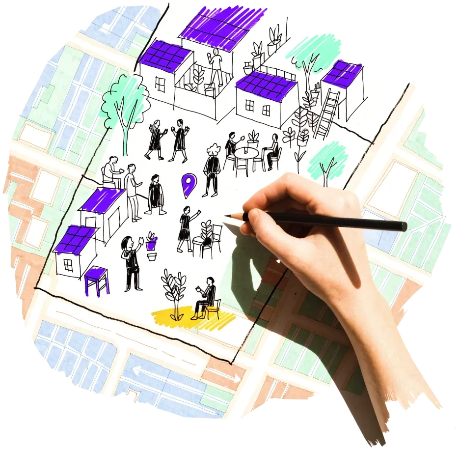
A hand outlining a neighbourhood on a city map, with small houses drawn inside

North Quarter (Saint-Josse, Schaerbeek, City of Brussels)

The office district beside the Gare du Nord is converting: the Proximus towers will carry 272 homes, and the SLRB's empty 'Palais' building is for sale 600 m away.

  • 11 planning files since 2018 add about 150,000 m² of housing in place of offices (NOVA)
  • Renovated Ellipse tower added nearly 40,000 m² to vacancy in H1 2026 (JLL)
  • Proximus towers permit granted 7 June 2024: 42,752 m² of housing

Risk: Newly renovated towers keep arriving as offices, and large owners set the price.

2 sources

Auderghem – Beaulieu and Delta

Former European Commission office blocks along avenue de Beaulieu are being turned into homes, next to the Delta–Herrmann-Debroux development plan.

  • 18 conversion files in Auderghem since 2018 (NOVA)
  • Beaulieu 1: 375 homes proposed in a 38,942 m² office complex
  • Beaulieu 25: 189 homes proposed in 36,585 m² of former Commission offices

Risk: Car-oriented edge of the city; the large schemes are led by private developers.

1 source

Eastern office belt (Woluwe-Saint-Lambert, Evere, Reyers)

Second-ring office parks are emptying, and the Region holds the big sites around them: Mediapark and the Défense plan.

  • 37 conversion files since 2018 in Woluwe-Saint-Lambert and Evere (NOVA)
  • Rue de Genève 12: 177 homes in a former office building, permit 2024
  • Mediapark: about 1,400 homes planned on 20 ha (PAD approved 2024)

Risk: Weak transit in parts; the Défense land belongs mostly to the Ministry of Defence.

2 sources

Canal zone (Molenbeek, Anderlecht, Cureghem)

Workshops and warehouses are turning into homes under two master plans, an urban renewal contract and several regional pre-emption zones.

  • 56 conversion files in Anderlecht and Molenbeek since 2018 (NOVA)
  • Aciers Wauters: 182 social and private homes, permit 26 June 2026
  • PADs Gare de l'Ouest (2021) and Heyvaert (2021) approved

Risk: Productive activity has to be kept, and soil pollution is common on former industrial plots.

2 sources

Signals to watch

Decisions, auctions and closures that change what becomes available, and when.

  1. 2026-08-05A closed library building goes up for sale

    The Médiathèque Nouvelle's Auderghem headquarters, closed after the 2025 decision to end the library, is in temporary use pending its sale.

    1 source
  2. 2026-07-16Office vacancy reaches 8%

    The renovated Ellipse tower added nearly 40,000 m² to vacancy in the first half of 2026.

    1 source
  3. 2026-07-13Court case against SLRB sales

    Four housing associations sued to suspend the sale of the Ariane and Palais buildings; 62,234 households wait for social housing.

    1 source
5 earlier signals
  1. 2026-06-26
    Steelworks to homes in Molenbeek

    Permit granted to turn the Aciers Wauters site into 182 social and private homes.

    1 source
  2. 2026-06-12
    Federal buildings left empty

    An RTBF investigation found 385,000 m² of the Buildings Agency's stock empty across Belgium (5.5% of its buildings); the federal digital property register launched in October 2025 is open only to MPs.

    1 source
  3. 2026-05-06
    SLRB puts 'Palais' on the market

    The empty Schaerbeek building goes to public bid, offers due 24 August 2026, with no conditions on its future use.

    1 source
  4. 2026-05
    Land trust pauses new projects

    Without a regional government in 2025, CLTB could start no new housing studies and suspended new candidate registrations; 1,381 households were on its register at end-2025.

    1 source
  5. 2026-01-07
    SLRB must sell to repay the Region

    The social-housing company will sell the Ariane and Palais sites (estimated €53 million) towards a €197 million debt.

    1 source

Sources, and what we cannot see

21 sources connected, 1 waiting for access. We only use data we may lawfully reuse; where a publisher blocks automated access we do not work around it — a person downloads it, or we ask for permission.

Every source, its licence and when we last read it
SourceAccessRecordsStatusLicence
OpenStreetMap disused/abandoned tags and brownfields
OpenStreetMap contributors
Open API114Live
2026-10-11
ODbL 1.0 (© OpenStreetMap contributors)
Rail, S-Bahn and U-Bahn stations (OpenStreetMap)
OpenStreetMap contributors
Open APIscoringLive
2026-10-11
ODbL 1.0 (© OpenStreetMap contributors)
Building heights: GlobalBuildingAtlas (TU Munich)
Zhu, X. X., Chen, S., Zhang, F., Shi, Y., Wang, Y. (2025), Technical University of Munich
GlobalBuildingAtlas: an open global and complete dataset of building polygons, heights and LoD1 3D models. Earth System Science Data 17(12), 6647–6668, doi:10.5194/essd-17-6647-2025. Read from the Parquet copy on Source Cooperative. Satellite-derived heights (typically 1.5–3 m error in Europe), turned into storeys with storey heights fitted on Berlin; used only where no register or official 3D model sizes the building.
Open download106 buildings sizedLive
2026-10-11
CC BY-NC 4.0 (heights); footprints from OpenStreetMap and Microsoft: ODbL
Building heights: UrbIS 3D Constructions (Brussels Region)
Paradigm – Brussels Region (UrbIS)
UrbIS © Paradigm – Brussels Region (CC0). Height measured from the 3D model: top of the roof minus the lowest point of the building.
Open download432 buildings sizedLive
2026-10-11
CC0
Road noise (EU Environmental Noise Directive, Lden)
European Environment Agency
Open APIscoringLive
2026-10-11
EEA standard re-use policy (attribution)
Leerstandsmelder.de — public reports of empty buildings
Leerstandsmelder (Gängeviertel e.V., Hamburg)
Shown while we ask Leerstandsmelder for permission. Reports since 2016 only, with the address, the month reported and a link to each entry; not checked by EHC. Each point says when a report has since been marked demolished, lived in, in interim use or rebuilt on Leerstandsmelder, and the owner type the reporter gave (private owners are never named).
Asking for permission0Pending
2026-10-11
Credited to Leerstandsmelder.de; asking for permission
Open-ended property funds: buildings they report partly empty
Open-ended real-estate funds (each point names its fund and report)
German and Austrian open-ended public property funds must list every property with its vacancy (or letting) rate in their annual and half-year reports. scripts/reuse/import-fund-reports.ts reads those lists; properties at 10 % vacancy or more are shown, those at 25 % or more count as evidence.
Open download1Live
2026-10-11
Published fund report (KAGB / KARBV property list), cited per point
Co-working spaces, department stores, banks, hotels and cinemas listed as permanently closed
Overture Maps Foundation (closure data: BrightQuery company records)
Places with operating_status "permanently_closed" in the monthly Overture release, read by scripts/reuse/import-overture-closures.ts and matched to the building they sit in. A closed business is usually one unit; names are shown only for companies, never for sole traders.
Open download0Live
2026-10-11
CDLA Permissive 2.0 (Overture Maps Foundation)
Land without current use and stalled construction, mapped from satellite imagery (Copernicus Urban Atlas 2006–2018)
European Environment Agency — Copernicus Land Monitoring Service
Urban Atlas class 13400 (brownfields, demolition sites and gaps in the built-up area, 0.25 ha and up) compared across the 2006, 2012 and 2018 editions, so each plot says how long it has stood unused; plus construction sites (13300) already under way in 2012, and 2012 construction sites left unused by 2018. Read from the EEA's open ArcGIS services, the same way in every radar city. The 2021 edition (Copernicus Data Space) drops plots built on since 2018 where scripts/reuse/import-urban-atlas-2021.ts has been run. Points are context, never evidence of vacancy.
Open API2Live
2026-10-11
Copernicus open data (© European Union, Copernicus Land Monitoring Service 2006–2021, EEA)
Stalled construction and buildings held by insolvent developers
EHC research (dated press and court sources per point)
Signa, Adler/Consus and other developer insolvencies since 2022 and stalled sites, each with its latest dated status (src/scripts/data/reuse/stalled-projects.json; news leads from scripts/reuse/mine-news.ts are reviewed before they join).
EHC research1Live
2026-10-11
Cited publisher per point
Church buildings the dioceses and regional churches plan to give up
Catholic dioceses and Protestant regional churches (their building plans), via EHC research
Buildings a church body’s published building plan or recent reporting names as to be given up, without church funding, for sale or lease, or profaned (src/scripts/data/reuse/church-plans.json and brussels-churches.json).
EHC research3Live
2026-10-11
Cited publisher per point
Named buildings and sites from EHC research (each with its own source)
European Housing Coop research
Includes the library’s public lighthouse conversions (src/scripts/data/reuse/lighthouses.json), shown under "Already converting" with a link to their library page.
EHC research40Live
2026-10-11
Facts cited to their publishers
Year built and listing: OpenStreetMap building tags
OpenStreetMap contributors
start_date / construction_date and heritage / listed_status of the OpenStreetMap outline a record is matched to, where no register answers. Read with the outline match, not a separate query.
Open APIscoringLive
2026-10-11
ODbL 1.0 (© OpenStreetMap contributors)
Planning permits turning offices, workshops or shops into homes (NOVA, since 2018)
urban.brussels / Paradigm (NOVA planning-permit register)
Open API358Live
2026-10-11
CC BY 4.0 (metadata record; the WFS capabilities state CC0)
Office buildings mapped in OpenStreetMap
OpenStreetMap contributors
Open API479Live
2026-10-11
ODbL
Master development plans (PAD) and large land reserves (PRDD)
perspective.brussels and urban.brussels (Brussels-Capital Region)
Manual download43Snapshot
2026-10-11
CC BY 4.0
Housing projects of neighbourhood and urban-renewal contracts (2016 onwards)
perspective.brussels and urban.brussels (Brussels-Capital Region)
Manual download36Snapshot
2026-10-11
CC BY 4.0
Empty shop units in the City of Brussels (hub.brussels census)
hub.brussels, published by the Ville de Bruxelles (Data Management)
Open API1,068Live
2026-10-11
CC BY 4.0
Buildings Agency (Régie des Bâtiments): federal property for sale — Avenue de la Couronne 346-356, Ixelles
Régie des Bâtiments / Buildings Agency (Belgian federal State)
Open download1Live
2026-10-11
not stated — credited to the publisher
Buildings named in the news (each with its article)
Local and national press, read by EHC
Buildings the news reports empty, for sale or to let, to be demolished or being converted (src/scripts/data/reuse/news-building-leads.json; rules in src/lib/reuse/news-layer.ts). A report that names a building already on the map is shown on its card instead of a second point; one an open source contradicted, or that says the building is in use, is left out. Not checked on site.
EHC research60Live
2026-10-14
Facts with a link to the article; the one-line summary is ours — no article text is republished
Year built: Flemish heritage inventory (Inventaris Onroerend Erfgoed)
Agentschap Onroerend Erfgoed (Vlaanderen)
The dating of the inventoried building a record sits in (bulk outlines), as the inventory states it — usually a period such as “second half of the 19th century” (1851–1900). Only inventoried buildings are dated.
Open downloadscoringLive
2026-10-14
Modellicentie Gratis Hergebruik Vlaanderen v1.2
Probable era: estimated from a street photo (Panoramax, Mapillary, Google Street View)
Panoramax and Mapillary contributors; Google Street View (research use agreed with Google, 14 Oct 2026); estimate by EHC with a vision model
Where no register dates a building: its era read from a Panoramax or Mapillary photo looking at it — Google Street View only where no open photo answers (scripts/reuse/estimate-photo-eras.ts), only when the building is clearly visible and the model is confident, and only as “before 1945” or “1945 or later” — the split it got right for 89% of buildings with a register year in Amsterdam and Paris, and 89% from Street View pictures alone (photo-eras/calibration.json). An estimate: a sentence in the conversion check, never points.
Open APIscoringLive
2026-10-14
Open photos CC BY-SA 4.0 or Licence Ouverte 2.0 (per picture); Street View read for research only, never stored or shown; only the estimated era is published, never a photo

What this radar cannot see yet

  • The Region's inventory of unused business sites (sites d'activité inexploités) is not published as data — it is only reported plot by plot in planning-information letters — so empty industrial and office sites are not on the map.
  • There is no public register of empty homes: a 2021 ULB/VUB model estimated 17,000–26,400 empty dwellings in about 10,000 buildings, but the building list is used only for inspections.
  • The official office observatory last reported in April 2024 (2021–2022 data); brokers publish only region-wide vacancy, so office points are a building-type proxy, not a vacancy record.
  • The land registry does not publish owners, so public ownership is shown only for named sites.
  • Empty shop units are open only for the City of Brussels municipality (hub.brussels, 1,068 units); hub.brussels's census of the other 18 communes is not published as data.
  • The federal Buildings Agency's digital property register, which tracks which of its buildings are empty (5.5% in 2026), is open only to federal MPs.
  • urban.brussels's map server still answers robots.txt with a server error (502); its planning layers stay a committed snapshot. openpermits.brussels adds only public-inquiry notices to the NOVA permit register used here.

Know an empty building we have missed?

Open data cannot see everything. Tell us about a building in Brussels that stands empty or barely used; once we have checked it, it joins the map under “Reported by visitors (checked)”.

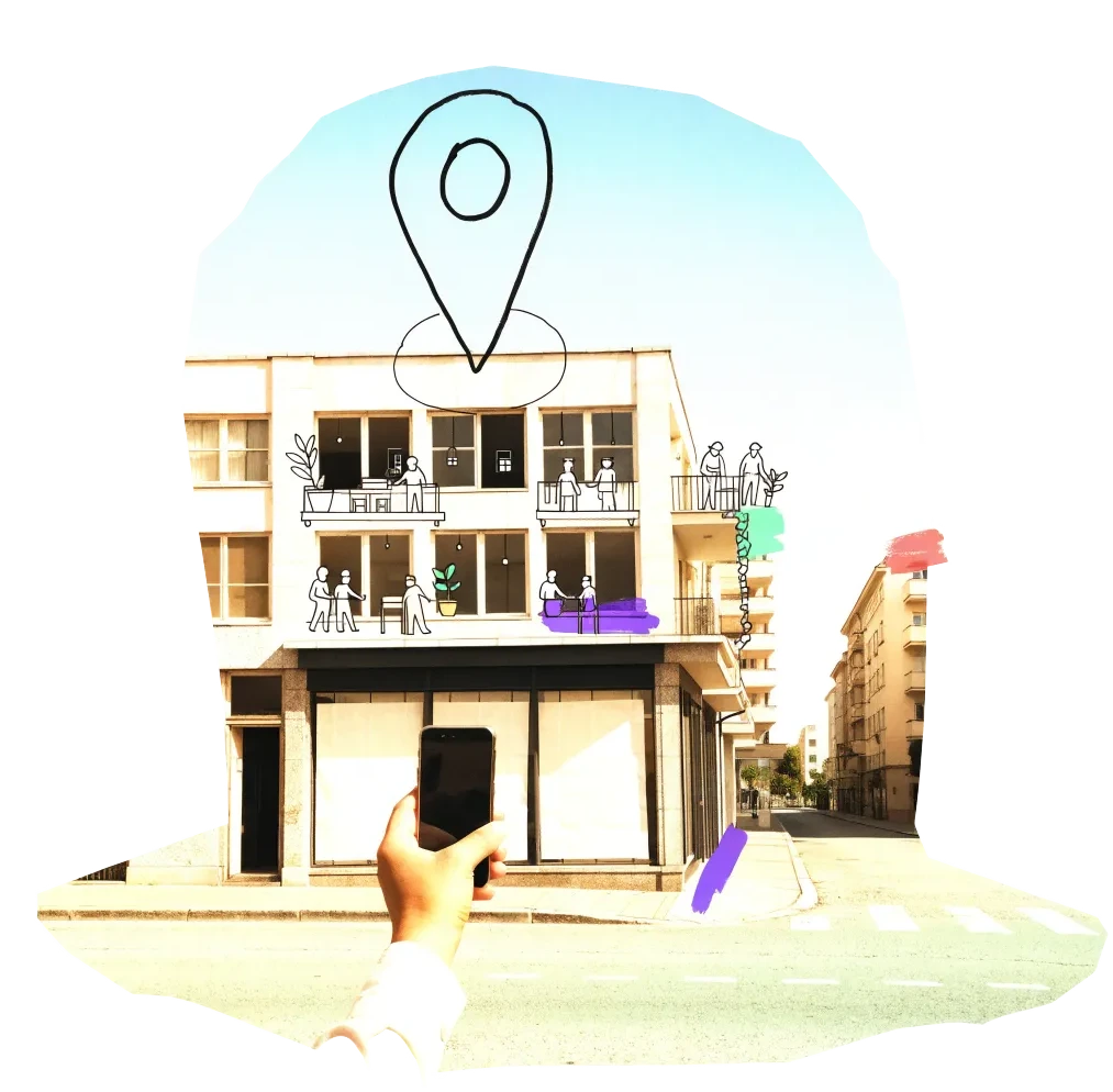
A phone held up to photograph an empty shopfront, with a map pin drawn above it

We publish the address, the kind of building and your description once we have checked it — never your email. Please do not name the people who own or live in a building.

Radars nearby

The other radars in the same country and the nearest beyond. All 149 cities in the atlas

The figure on each card: empty buildings on record.