Skip to content
Reuse radar

Antwerp

Antwerp publishes something few cities do: its vacancy-tax register, more than a thousand empty buildings, homes and shop units, refreshed every month, next to Flanders' inventory of empty and neglected business premises. Offices are scarce (3.7% vacancy in mid-2026), so the opportunities are in the registered empty buildings, churches leaving worship and city land — where AG Vespa started Flanders' largest co-operative housing pilot in September 2026.
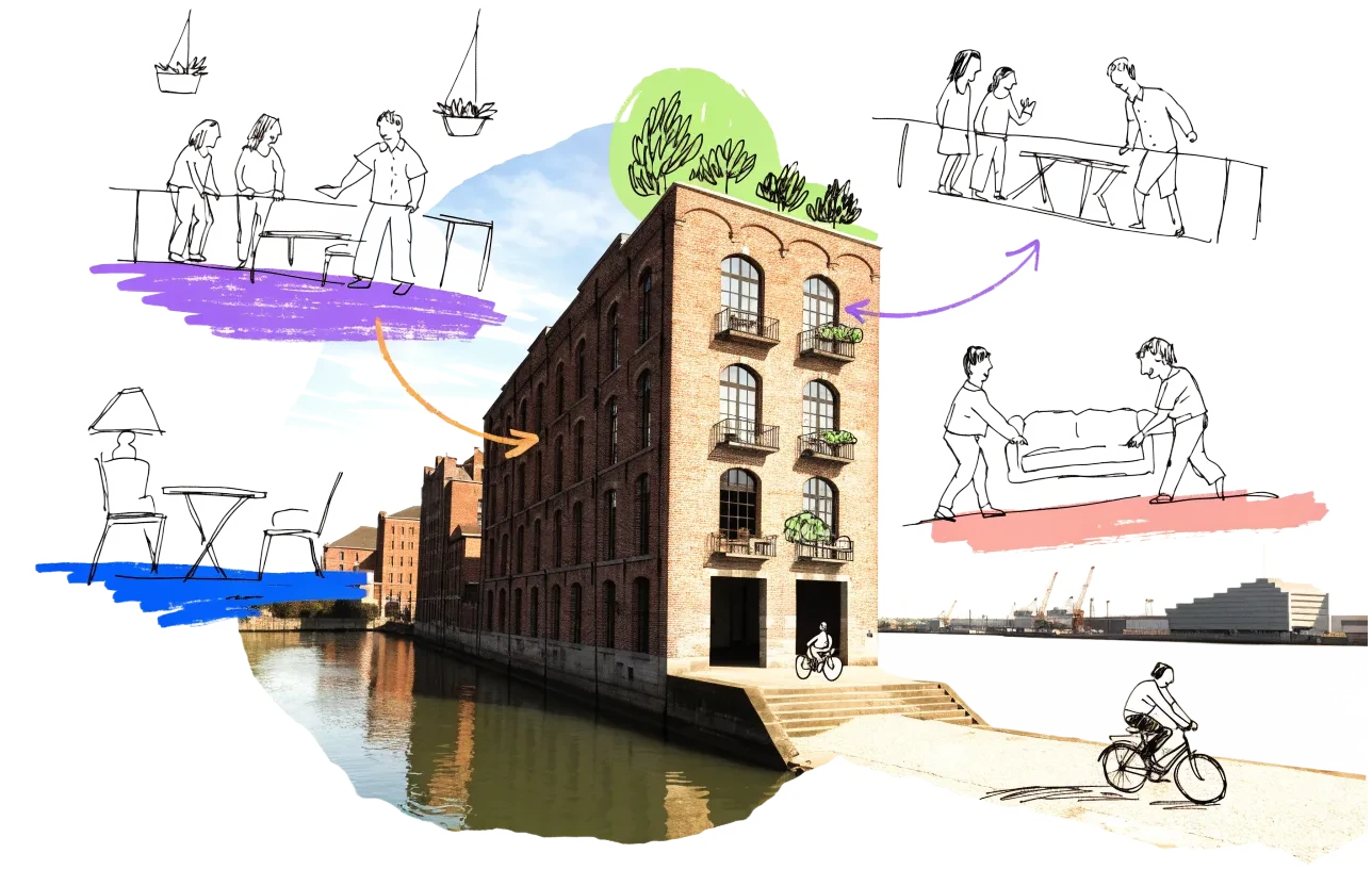
An empty building in Antwerp with homes, balconies and neighbours drawn onto it in ink
Vacant office space3.7%of the office stock stands empty (the floor area is not published)
Empty buildings on record305and 717 more with an empty shop, flat or floor; of all 1,022, 984 confirmed
On the map1,641buildings and sites from 13 open sources
Homes potential—not in the economic model’s office data yet

Office figures: JLL, Belgian real estate market H1 2026 — rental vacancy in Antwerp at its lowest, 3.7%, with no speculative delivery expected for at least two years. Map built 2026-10-09.

A tour in 3D

3 empty buildings in Antwerp, and what they could become

Buildings checked against today's sources and found empty — sites that could be well suited to the EHC model. A short film: how each one could come back to life, with what our conversion check and economic model say it could hold. A potential we spotted, not a plan.

Together, room for ≈ 138 homes — a potential, not a plan.

  1. Antwerpen Grotehondstraat administratief gebouwGrotehondstraat 58 · ≈ 97 homes
  2. Professor van den Wildenbergl 22,400 m² · ≈ 20 homes
  3. Lange Nieuwstraat 902,548 m² · ≈ 21 homes
  • activated ground floor
  • shared rooms
  • furnished mid-term flats
  • affordable long-term homes

The map

Every building a record says stands empty, one point per building: filter by type, size and how sure the evidence is, and open one to see who says so. “Opportunities” switches to the co-op lens: public land, conversion potential and projects already under way, every source as its own layer.

Flanders has no open register of building use: the building register (Gebouwenregister) records outlines and status only, so offices come from OpenStreetMap.

Loading map…

0 empty buildings · colour = type, dark ring = confirmed

Check any building in Antwerp: could it become homes, and could the EHC model work there?

Named empty by owners and public records

3 buildings that the owner or a public register records as empty — whole buildings of at least 1,500 m² whose plans suit homes on paper (band A in our conversion check), not ruins and not let for interim use. Each row says who records it empty and when. We have not been to them, and a record can be out of date; those we have confirmed empty ourselves are marked as tour stops.

BuildingFloor areaRecorded empty byActions
Professor van den Wildenbergl 2On the tour
commercial building on the city's vacancy tax register
≈ 2,400 m²Whole buildings on the city's vacancy register
Public register · Stad Antwerpen · register read 9 Oct 2026
Lange Nieuwstraat 90On the tour
city-centre building on the vacancy tax register
≈ 2,548 m²Whole buildings on the city's vacancy register
Public register · Stad Antwerpen · register read 9 Oct 2026
Kioskplaats 64
commercial building
≈ 2,480 m²Whole buildings on the city's vacancy register
Public register · Stad Antwerpen · register read 9 Oct 2026

Where to look first

Buildings with evidence that they stand empty — a second source agrees, a public record names them, or we have checked them — ranked by a score you can read: co-op scale, daylight depth, a station nearby, a zone that allows homes, affordable land and an open route in. Checked buildings carry their result; nobody has visited them on site yet. Leerstandsmelder reports join the list when they sit in a large non-residential building and a second source agrees.

PriorityBuildingFloor areaDepthStationConversion checkActions
88Mitwit Office
On public land · Kantoor · 16 storeys · 1 other source nearby
3,150 m²10 m95 mA fit only
75Handelspand op toplocatie (erfpacht)
Public building named vacant · Commercial building · 2 storeys · 1 other source nearby
1,744 m²14.6 m2,299 mA fit only
63Lange Nieuwstraat 90Confirmed empty by EHC
City vacancy listing · gebouw
2,548 m²—303 m—
63Vestingstraat 72-74
City vacancy listing · 3 other sources nearby
—14.2 m129 m—
63Turnhoutsebaan 349/351 St-Mattheusstraat 15
City vacancy listing · 9 other sources nearby
—10.8 m50 m—
63Diepestraat 75-81
City vacancy listing · 2 other sources nearby
—14.2 m100 m—
63Kipdorpvest 44
City vacancy listing · 5 other sources nearby
—14.9 m153 m—
63Leopoldstraat 23-27
City vacancy listing · 1 other source nearby
—14.1 m389 m—
63St-Jacobsmarkt 71
City vacancy listing · 4 other sources nearby
—8.9 m282 m—
63Lange Beeldekensstraat 191-193
City vacancy listing · 2 other sources nearby
—6.7 m329 m—

Districts where conversion makes sense

Where empty offices, the right zoning and a working neighbourhood come together — and what could go wrong.

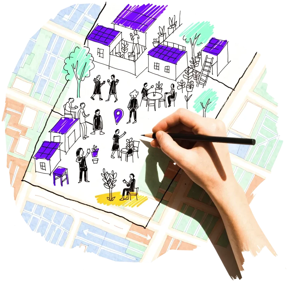
A hand outlining a neighbourhood on a city map, with small houses drawn inside

Antwerpen (central district)

Half of the vacancy register sits here, in older terraces, upper floors above shops and whole buildings.

  • 530 of 1,019 register records (8 Oct 2026)
  • 192 records added in 2026 so far

Risk: Many records are single units or floors in occupied buildings; the register follows tax rules, not a site check.

1 source

Het Eilandje — Cadixwijk

City land where AG Vespa is starting Flanders' largest co-operative housing pilot.

  • Building field 1: 2,136 m² for co-operative housing, with the Vlaamse Bouwmeester
  • Field 3 (4,871 m²) sold to Woonhaven for social homes

Risk: New build on cleared land, not reuse; the co-operative's terms are still to be set.

1 source

Deurne and Merksem

Parish churches whose church policy plan starts a search for new or shared uses, next to registered empty homes.

  • Seven Antwerp churches with a shared-use or new-use procedure under way, six of them in Deurne and Merksem (Kerkenbeleidsplan 2025–2030)
  • 152 register records in Merksem (90) and Deurne (62)

Risk: Churches are often listed or protected and the church councils decide slowly.

2 sources

Antwerpen-Noord and Borgerhout (Stuivenberg, Seefhoek)

Two hospitals have emptied here since 2023 — the City now owns the Stuivenberg site — in the densest, poorest part of the city, where the vacancy register and the slum-screening (krotspot) areas concentrate.

  • Stuivenberg: empty since September 2023, City-owned since March 2024, about 35,000 m² to be demolished
  • ZAS Erasmus: last patients moved out November 2025; night shelter in part until 2027

Risk: The City plans public services and gardens at Stuivenberg, not housing; the Borgerhout hospital's owner has announced no plan.

2 sources

Owners and routes in

Who controls the space, and what a housing cooperative can actually do with them.

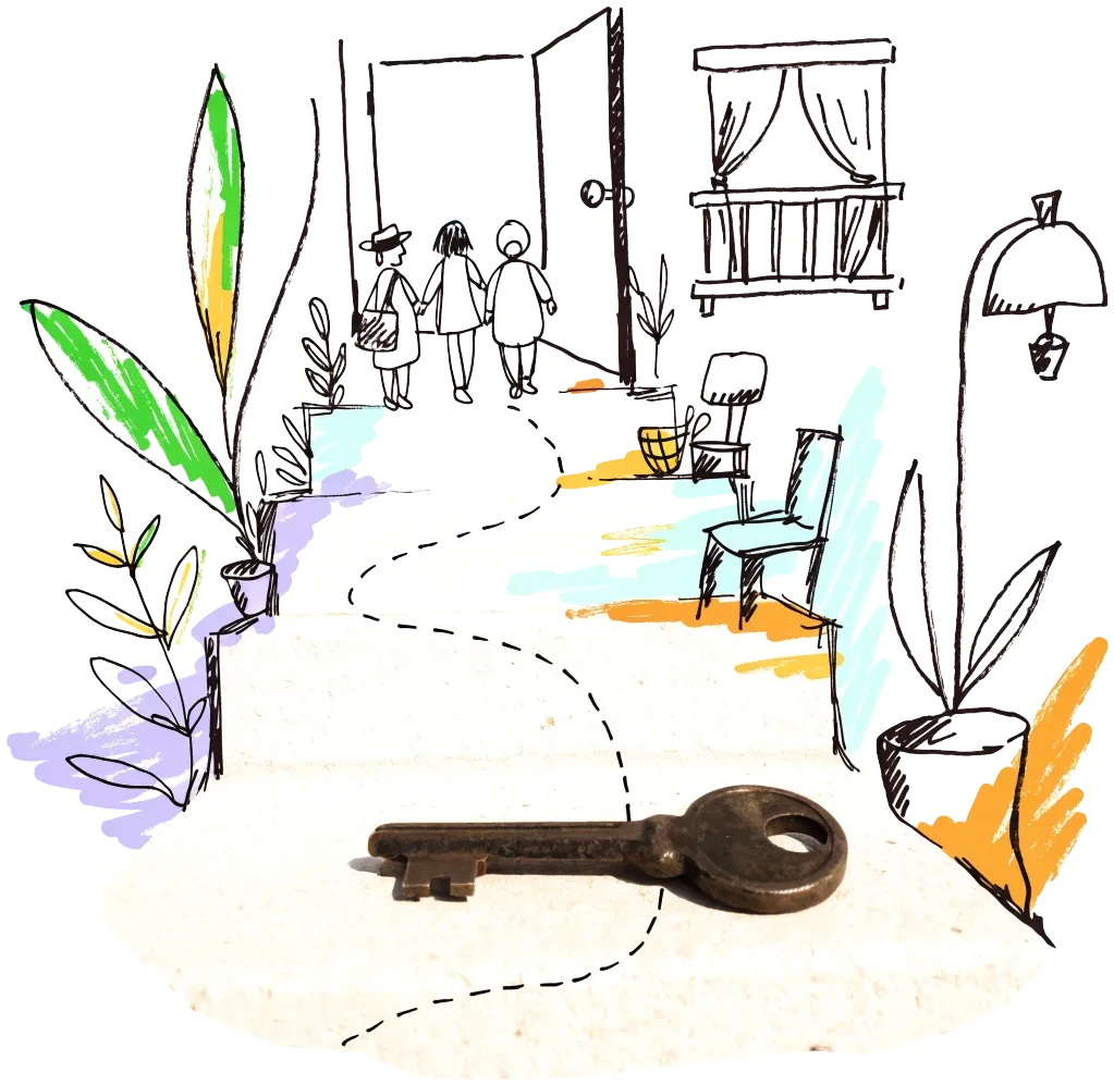
A door key on a doorstep with a drawn path leading to an open door
Private owner

Owners on the vacancy register (vacancy tax)

Owners on the register pay the city's vacancy tax every year; a whole building on the register is a seller worth approaching. The city also maps the 506 parcels on which the Flemish housing code gives social housing bodies a right of pre-emption — partner with them when a registered building is sold.

2 sources

Signals to watch

Decisions, auctions and closures that change what becomes available, and when.

  1. 2026-09-14
    City starts Flanders' largest co-operative housing pilot

    AG Vespa reserves a 2,136 m² city plot in the Cadixwijk for a housing co-operative, developed with the Vlaamse Bouwmeester.

    1 source
  2. 2026-08
    261 business premises on the Flemish vacancy inventory

    The August 2026 edition lists 261 empty or neglected business premises in Antwerp, 78 of them empty since 2026.

    1 source
  3. 2026-07-16
    Office vacancy at a low of 3.7%

    JLL expects it to stay there, with no speculative office delivery for at least two years.

    1 source
  4. 2026-06-12
    Artists' co-operative buys the Wolstraat building

    Ercoland, a citizens' co-operative of artists and supporters, raised more than €2 million to buy the historic artists' building in the Wolstraat.

    1 source
  5. 2026-03-18
    32 empty buildings turned into social rental homes

    Through Het Pandschap and Woonhaven since 2023; about 40,000 people are on Woonhaven's waiting list.

    1 source
  6. 2025-11-07
    Stuivenberg hospital: demolish the main block, keep the pavilions

    The City, owner since 2024, will demolish about 35,000 m² of the empty hospital and reuse the 19th-century pavilions for public services, investing about €200 million.

    1 source
  7. 2025-11-06
    Borgerhout hospital closes

    ZAS Erasmus moved its last patients to Hoboken; a renovation was judged too expensive.

    1 source

Sources and freshness

20 sources connected, 1 waiting for access. We only use data we may lawfully reuse; where a publisher blocks automated access we do not work around it — a person downloads it, or we ask for permission.

Show every source, its licence and when we last read it
SourceAccessRecordsStatusLicence
OpenStreetMap disused/abandoned tags and brownfields
OpenStreetMap contributors
Open API64Live
2026-10-09
ODbL 1.0 (© OpenStreetMap contributors)
Rail, S-Bahn and U-Bahn stations (OpenStreetMap)
OpenStreetMap contributors
Open APIscoringLive
2026-10-09
ODbL 1.0 (© OpenStreetMap contributors)
Building heights: GlobalBuildingAtlas (TU Munich)
Zhu, X. X., Chen, S., Zhang, F., Shi, Y., Wang, Y. (2025), Technical University of Munich
GlobalBuildingAtlas: an open global and complete dataset of building polygons, heights and LoD1 3D models. Earth System Science Data 17(12), 6647–6668, doi:10.5194/essd-17-6647-2025. Read from the Parquet copy on Source Cooperative. Satellite-derived heights (typically 1.5–3 m error in Europe), turned into storeys with storey heights fitted on Berlin; used only where no register or official 3D model sizes the building.
Open download448 buildings sizedLive
2026-10-09
CC BY-NC 4.0 (heights); footprints from OpenStreetMap and Microsoft: ODbL
Road noise (EU Environmental Noise Directive, Lden)
European Environment Agency
Open APIscoringLive
2026-10-09
EEA standard re-use policy (attribution)
Leerstandsmelder.de — public reports of empty buildings
Leerstandsmelder (Gängeviertel e.V., Hamburg)
Shown while we ask Leerstandsmelder for permission. Reports since 2016 only, with the address, the month reported and a link to each entry; not checked by EHC. Each point says when a report has since been marked demolished, lived in, in interim use or rebuilt on Leerstandsmelder, and the owner type the reporter gave (private owners are never named).
Asking for permission0Pending
2026-10-09
Credited to Leerstandsmelder.de; asking for permission
Open-ended property funds: buildings they report partly empty
Open-ended real-estate funds (each point names its fund and report)
German and Austrian open-ended public property funds must list every property with its vacancy (or letting) rate in their annual and half-year reports. scripts/reuse/import-fund-reports.ts reads those lists; properties at 10 % vacancy or more are shown, those at 25 % or more count as evidence.
Open download1Live
2026-10-09
Published fund report (KAGB / KARBV property list), cited per point
Co-working spaces, department stores, banks, hotels and cinemas listed as permanently closed
Overture Maps Foundation (closure data: BrightQuery company records)
Places with operating_status "permanently_closed" in the monthly Overture release, read by scripts/reuse/import-overture-closures.ts and matched to the building they sit in. A closed business is usually one unit; names are shown only for companies, never for sole traders.
Open download0Live
2026-10-09
CDLA Permissive 2.0 (Overture Maps Foundation)
Land without current use and stalled construction, mapped from satellite imagery (Copernicus Urban Atlas 2006–2018)
European Environment Agency — Copernicus Land Monitoring Service
Urban Atlas class 13400 (brownfields, demolition sites and gaps in the built-up area, 0.25 ha and up) compared across the 2006, 2012 and 2018 editions, so each plot says how long it has stood unused; plus construction sites (13300) already under way in 2012, and 2012 construction sites left unused by 2018. Read from the EEA's open ArcGIS services, the same way in every radar city. The 2021 edition (Copernicus Data Space) drops plots built on since 2018 where scripts/reuse/import-urban-atlas-2021.ts has been run. Points are context, never evidence of vacancy.
Open API33Live
2026-10-09
Copernicus open data (© European Union, Copernicus Land Monitoring Service 2006–2021, EEA)
Stalled construction and buildings held by insolvent developers
EHC research (dated press and court sources per point)
Signa, Adler/Consus and other developer insolvencies since 2022 and stalled sites, each with its latest dated status (src/scripts/data/reuse/stalled-projects.json; news leads from scripts/reuse/mine-news.ts are reviewed before they join).
EHC research0Live
2026-10-09
Cited publisher per point
Church buildings the dioceses and regional churches plan to give up
Catholic dioceses and Protestant regional churches (their building plans), via EHC research
Buildings a church body’s published building plan or recent reporting names as to be given up, without church funding, for sale or lease, or profaned (src/scripts/data/reuse/church-plans.json and brussels-churches.json).
EHC research0Live
2026-10-09
Cited publisher per point
Named buildings and sites from EHC research (each with its own source)
European Housing Coop research
EHC research9Live
2026-10-09
Facts cited to their publishers
Year built and listing: OpenStreetMap building tags
OpenStreetMap contributors
start_date / construction_date and heritage / listed_status of the OpenStreetMap outline a record is matched to, where no register answers. Read with the outline match, not a separate query.
Open APIscoringLive
2026-10-09
ODbL 1.0 (© OpenStreetMap contributors)
Whole buildings on the city's vacancy register
Stad Antwerpen — Dienst Financiën with the Studiedienst (leegstandsregister, monthly extract)
Open API260Live
2026-10-09
No licence stated on the layer; published openly on the City of Antwerp's public map server — shown with credit
Homes, floors and shop units on the city's vacancy register
Stad Antwerpen — Dienst Financiën with the Studiedienst (leegstandsregister, monthly extract)
Open API757Live
2026-10-09
No licence stated on the layer; published openly on the City of Antwerp's public map server — shown with credit
Empty and neglected business premises (Flemish inventory)
Stad Antwerpen — Financiën, from the Vlaamse inventaris van leegstaande en verwaarloosde bedrijfsruimten
Open API260Live
2026-10-09
No licence stated on the layer; published openly on the City of Antwerp's public map server — shown with credit
Flemish government buildings recorded as empty, unfit or for sale
Digitaal Vlaanderen / Agentschap Facilitair Bedrijf — Gebouwen van Vlaamse en lokale overheden (Terra patrimonium database)
Open API5Live
2026-10-09
Gebruiksrecht geografische webdiensten (Digitaal Vlaanderen); no restriction on public access
Buildings of the Flemish government (offices, schools, culture, homes)
Digitaal Vlaanderen / Agentschap Facilitair Bedrijf — Gebouwen van Vlaamse en lokale overheden (Terra patrimonium database)
Open API60Live
2026-10-09
Gebruiksrecht geografische webdiensten (Digitaal Vlaanderen); no restriction on public access
Office buildings mapped in OpenStreetMap
OpenStreetMap contributors
Open API133Live
2026-10-09
ODbL 1.0
Spatial implementation plans in force since 2015 (RUP)
Stad Antwerpen — Stadsontwikkeling, planningscel
Open API33Live
2026-10-09
No licence stated on the layer; published openly on the City of Antwerp's public map server
Brownfield land (OpenStreetMap)
OpenStreetMap contributors
Open API25Live
2026-10-09
ODbL 1.0
AG Vespa: city property for sale, rent and calls (te koop / te huur / oproepen)
AG Vespa (autonomous municipal company of the City of Antwerp)
Open download1Live
2026-10-09
not stated — credited to the publisher

What this radar cannot see yet

  • Flanders has no open register of building use: the building register (Gebouwenregister) records outlines and status only, so offices come from OpenStreetMap.
  • The city's vacancy register is a tax list: the city itself warns it is not an exact picture of vacancy on the ground, and most records are single units or floors.
  • The City of Antwerp's own property (AG Vespa's portfolio) is not published as data — only the sales and calls on its website.
  • opendata.antwerpen.be and geo.antwerpen.be still do not answer (8 Oct 2026); the radar reads the city's public map server geodata.antwerpen.be instead.
  • The city's building-permit layer on the map server stops around 2018, when permits moved to the Flemish Omgevingsloket, so there is no current layer of conversions to homes.

Know an empty building we have missed?

Open data cannot see everything. Tell us about a building in Antwerp that stands empty or barely used; once we have checked it, it joins the map under “Reported by visitors (checked)”.

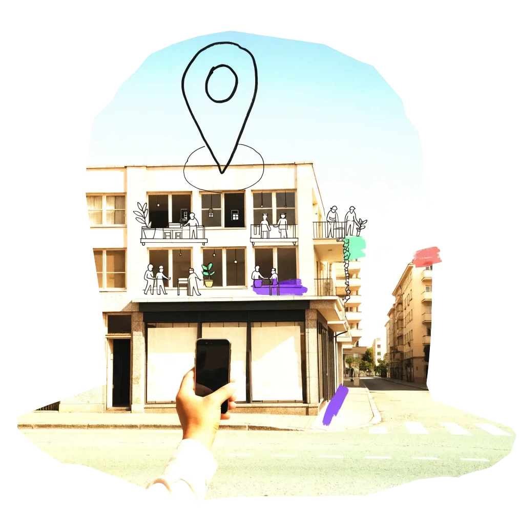
A phone held up to photograph an empty shopfront, with a map pin drawn above it

We publish the address, the kind of building and your description once we have checked it — never your email. Please do not name the people who own or live in a building.

Radars nearby

The other radars in the same country and the nearest beyond. All 134 cities in the atlas

The figure on each card: empty buildings on record.