Skip to content
Reuse radar

Brussels

The radar treats the 19-commune Brussels-Capital Region as the city: the City of Brussels municipality is only one of the 19. The Region has about 13 million m² of offices, 8% of them empty in mid-2026, and a steady flow of conversions — 358 planning files since 2018 put homes in place of offices, workshops or shops. Public land sits mostly in regional strategic sites, and the social-housing company is now selling two buildings it bought for social homes.
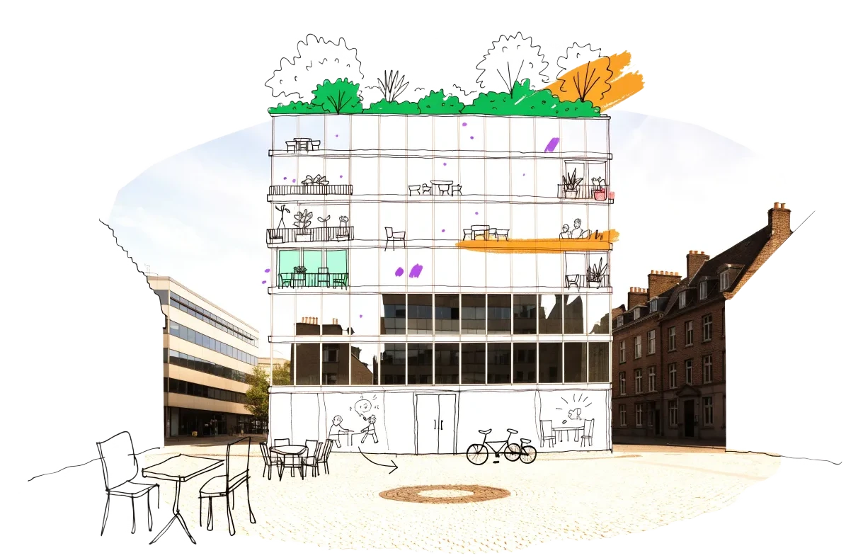
An empty building in Brussels with homes, balconies and neighbours drawn onto it in ink
Vacant office space988,500 m²7.5% of the stock stands empty
On the map1,052buildings and sites from 6 open sources
Homes potential≈ 3,930if 30% of empty offices converted

Office figures: BNP Paribas Real Estate, Brussels office dashboard Q2 2026 — 13.18 million m² of offices including the periphery, 7.5% vacant (vacant area = stock × rate, an estimate); JLL put rental vacancy at 8.0% at end-H1 2026.. Homes: our economic model’s conversion engine. Map built 2026-10-06.

The map

Switch layers on by the question you are asking. Every point comes from a public record, an open dataset or a cited report; open one to see where it comes from and what the data cannot tell us.

The Region's inventory of unused business sites (sites d'activité inexploités) is not published as data — it is only reported plot by plot in planning-information letters — so empty industrial and office sites are not on the map.

Loading map…

0 points · click a cluster to zoom, a point for its sources

Where to look first

Buildings with evidence that they stand empty — a second source agrees, a public record names them, or we have checked them — ranked by a score you can read: co-op scale, daylight depth, a station nearby, a zone that allows homes, affordable land and an open route in. Checked buildings carry their result; nobody has visited them on site yet.

ScoreBuildingFloor areaStationActions
73Palais du Midi
Public building named vacant
5,000 m²252 m
63Avenue de la Couronne 346–356 (warehouse with 12 former flats)
City vacancy listing
3,113 m²282 m
58'Palais' building of the regional social-housing companyConfirmed empty
Public building named vacant
—427 m
58Forest prisonConfirmed empty
Public building named vacant
—441 m
58Beaulieu-Triangles (former European Commission offices)
Public building named vacant
—131 m
51Former Etterbeek town hall
Public building named vacant · 1 other source nearby
—798 m

Districts where conversion makes sense

Where empty offices, the right zoning and a working neighbourhood come together — and what could go wrong.

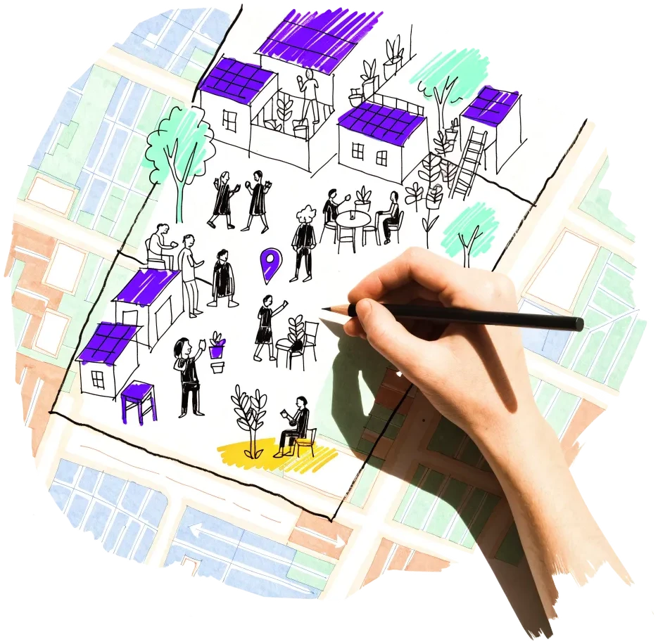
A hand outlining a neighbourhood on a city map, with small houses drawn inside

North Quarter (Saint-Josse, Schaerbeek, City of Brussels)

The office district beside the Gare du Nord is converting: the Proximus towers will carry 272 homes, and the SLRB's empty 'Palais' building is for sale 600 m away.

  • 11 planning files since 2018 add about 150,000 m² of housing in place of offices (NOVA)
  • Renovated Ellipse tower added nearly 40,000 m² to vacancy in H1 2026 (JLL)
  • Proximus towers permit granted 7 June 2024: 42,752 m² of housing

Risk: Newly renovated towers keep arriving as offices, and large owners set the price.
2 sources

Auderghem – Beaulieu and Delta

Former European Commission office blocks along avenue de Beaulieu are being turned into homes, next to the Delta–Herrmann-Debroux development plan.

  • 18 conversion files in Auderghem since 2018 (NOVA)
  • Beaulieu 1: 375 homes proposed in a 38,942 m² office complex
  • Beaulieu 25: 189 homes proposed in 36,585 m² of former Commission offices

Risk: Car-oriented edge of the city; the large schemes are led by private developers.

1 source

Eastern office belt (Woluwe-Saint-Lambert, Evere, Reyers)

Second-ring office parks are emptying, and the Region holds the big sites around them: Mediapark and the Défense plan.

  • 37 conversion files since 2018 in Woluwe-Saint-Lambert and Evere (NOVA)
  • Rue de Genève 12: 177 homes in a former office building, permit 2024
  • Mediapark: about 1,400 homes planned on 20 ha (PAD approved 2024)

Risk: Weak transit in parts; the Défense land belongs mostly to the Ministry of Defence.

2 sources

Canal zone (Molenbeek, Anderlecht, Cureghem)

Workshops and warehouses are turning into homes under two master plans, an urban renewal contract and several regional pre-emption zones.

  • 56 conversion files in Anderlecht and Molenbeek since 2018 (NOVA)
  • Aciers Wauters: 182 social and private homes, permit 26 June 2026
  • PADs Gare de l'Ouest (2021) and Heyvaert (2021) approved

Risk: Productive activity has to be kept, and soil pollution is common on former industrial plots.

2 sources

Owners and routes in

Who controls the space, and what a housing cooperative can actually do with them.

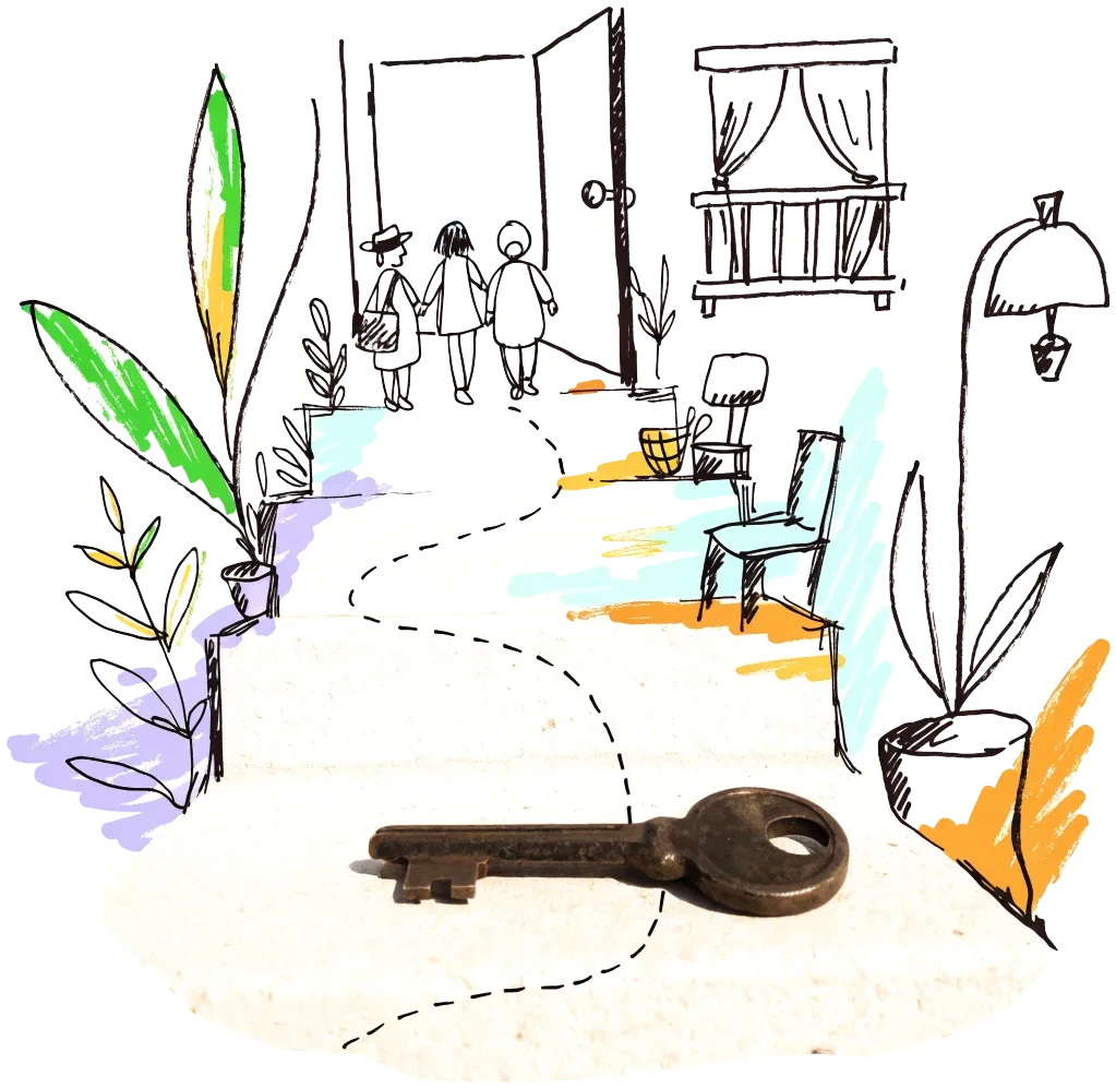
A door key on a doorstep with a drawn path leading to an open door
City agency

Community Land Trust Brussels (CLTB)

The Region-funded land trust keeps land in community ownership and now also backs residents' cooperatives: it coordinates CoopBXL, a coalition of 17 organisations, and supports pilot cooperatives buying their buildings. Partnering with CLTB is the most direct route for a cooperative in Brussels.

1 source
Public owner

SAU-MSI (regional urban development company)

Owns and develops the Region's strategic sites — Josaphat (509 homes, 52% public or affordable), Usquare and part of Mediapark — and runs calls for temporary use and for developers. Ask for a cooperative lot in the next allocation round.

2 sources
City agency

citydev.brussels

The regional development agency delivers the affordable owner-occupied homes on strategic sites — at Usquare it tendered them in April 2025 — and took over the urban-industry zone at Josaphat in 2024. Its tenders are a way in for a cooperative developer.

1 source
Subsidy

Communes — neighbourhood and urban renewal contracts

Regionally funded contracts let communes buy and renovate buildings for housing; recent ones include co-housing and 'habitat solidaire' projects. A cooperative can propose itself as the partner for a contract's housing strand.

1 source
Allocation rule

Brussels-Capital Region — pre-emption perimeters

The Region's pre-emption layer lists 17 perimeters (e.g. Marolles, Petite Suisse, Conscience and Van Praet, valid until 2030–2031) where public bodies may buy first when a property is sold. A cooperative working with a commune or CLTB can ask it to pre-empt a building that comes up for sale.

1 source
City agency

Brussels Housing — public management of empty homes

Empty homes can be placed under public management; a 2025 framework agreement speeds up the renovation of homes under public management so they return to the market faster. A cooperative can offer to renovate and run such homes for the public manager.

1 source

Signals to watch

Decisions, auctions and closures that change what becomes available, and when.

  1. 2026-07-16
    Office vacancy reaches 8%

    The renovated Ellipse tower added nearly 40,000 m² to vacancy in the first half of 2026.

    1 source
  2. 2026-07-13
    Court case against SLRB sales

    Four housing associations sued to suspend the sale of the Ariane and Palais buildings; 62,234 households wait for social housing.

    1 source
  3. 2026-06-26
    Steelworks to homes in Molenbeek

    Permit granted to turn the Aciers Wauters site into 182 social and private homes.

    1 source
  4. 2026-05-06
    SLRB puts 'Palais' on the market

    The empty Schaerbeek building goes to public bid, offers due 24 August 2026, with no conditions on its future use.

    1 source
  5. 2026-05
    Land trust pauses new projects

    Without a regional government in 2025, CLTB could start no new housing studies and suspended new candidate registrations; 1,381 households were on its register at end-2025.

    1 source
  6. 2026-01-07
    SLRB must sell to repay the Region

    The social-housing company will sell the Ariane and Palais sites (estimated €53 million) towards a €197 million debt.

    1 source

Sources and freshness

8 sources connected, 1 waiting for access. We only use data we may lawfully reuse; where a publisher blocks automated access we do not work around it — a person downloads it, or we ask for permission.

Show every source, its licence and when we last read it
SourceAccessRecordsStatusLicence
OpenStreetMap disused/abandoned tags and brownfields
OpenStreetMap contributors
Open API114Live
2026-10-06
ODbL 1.0 (© OpenStreetMap contributors)
Rail, S-Bahn and U-Bahn stations (OpenStreetMap)
OpenStreetMap contributors
Open APIscoringLive
2026-10-06
ODbL 1.0 (© OpenStreetMap contributors)
Road noise (EU Environmental Noise Directive, Lden)
European Environment Agency
Open APIscoringLive
2026-10-06
EEA standard re-use policy (attribution)
Leerstandsmelder.de — public reports of empty buildings
Leerstandsmelder (Gängeviertel e.V., Hamburg)
Shown while we ask Leerstandsmelder for permission. Reports since 2016 only, with the address, the month reported and a link to each entry; not checked by EHC. From a one-time copy of 4 October 2026 — the API is not fetched, as it disallows automated agents.
Asking for permission0Pending
2026-10-06
Credited to Leerstandsmelder.de; asking for permission
Named buildings and sites from EHC research (each with its own source)
European Housing Coop research
EHC research22Live
2026-10-06
Facts cited to their publishers
Planning permits turning offices, workshops or shops into homes (NOVA, since 2018)
urban.brussels / Paradigm (NOVA planning-permit register)
Open API358Live
2026-10-06
CC BY 4.0 (metadata record; the WFS capabilities state CC0)
Office buildings mapped in OpenStreetMap
OpenStreetMap contributors
Open API479Live
2026-10-06
ODbL
Master development plans (PAD) and large land reserves (PRDD)
perspective.brussels and urban.brussels (Brussels-Capital Region)
Manual download43Snapshot
2026-10-06
CC BY 4.0
Housing projects of neighbourhood and urban-renewal contracts (2016 onwards)
perspective.brussels and urban.brussels (Brussels-Capital Region)
Manual download36Snapshot
2026-10-06
CC BY 4.0

What this radar cannot see yet

  • The Region's inventory of unused business sites (sites d'activité inexploités) is not published as data — it is only reported plot by plot in planning-information letters — so empty industrial and office sites are not on the map.
  • There is no public register of empty homes: a 2021 ULB/VUB model estimated 17,000–26,400 empty dwellings in about 10,000 buildings, but the building list is used only for inspections.
  • The official office observatory last reported in April 2024 (2021–2022 data); brokers publish only region-wide vacancy, so office points are a building-type proxy, not a vacancy record.
  • Both open-data portals (opendata.brussels.be and opendata.bruxelles.be) disallow automated access to their API and downloads, and openpermits.brussels bars bots, so City of Brussels datasets and permit pages were not used; the regional NOVA register stands in for permits.
  • The land registry does not publish owners, so public ownership is shown only for named sites.

Know an empty building we have missed?

Open data cannot see everything. Tell us about a building in Brussels that stands empty or barely used; once we have checked it, it joins the map under “Reported by visitors (checked)”.

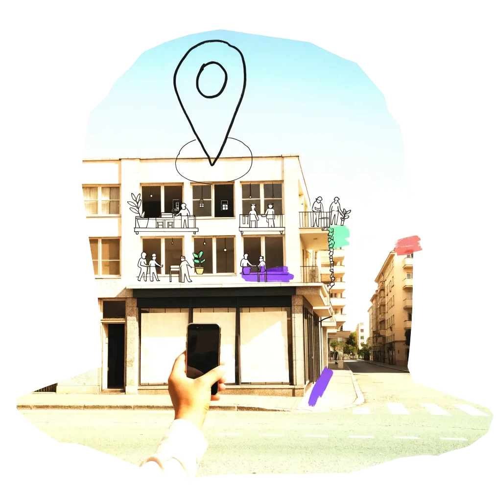
A phone held up to photograph an empty shopfront, with a map pin drawn above it

We publish the address, the kind of building and your description once we have checked it — never your email. Please do not name the people who own or live in a building.

Other radars