Skip to content
Reuse radar

Gothenburg

Gothenburg's empty buildings are mostly in the city's own property company: Higab says in a March 2026 board paper that the Customs House has about 6,000 m² empty since the casino closed in February 2024, and it emptied Viktoriahuset for renovation in October 2025. The State Property Board has put four state-monument villas in Lorensberg on its December 2025 disposal plan. Central office vacancy rose to 13.2% in spring 2026 (Citymark), driven by Lindholmen and the CBD. Gothenburg publishes no vacancy register, no building-use register and no open building layer, so the map shows OpenStreetMap offices (231) and disused tags and relies on the named buildings below.
Vacant office space13.2%of the office stock stands empty (the floor area is not published)
Empty buildings on record235 confirmed
On the map376buildings and sites from 6 open sources
Homes potential—not in the economic model’s office data yet

Office figures: Citymark, spring 2026: 13.2% of central Gothenburg office space vacant (11.4% in autumn 2025), rise mostly from Lindholmen and the CBD; both the newer A and older B segments are near 13%. About 150,000 m² of offices were let in 2025. Map built 2026-10-09.

A tour in 3D

An empty building in Gothenburg, and what it could become

A building checked against today's sources and found empty — a site that could be well suited to the EHC model. A short film: how it could come back to life, with what our conversion check and economic model say it could hold. A potential we spotted, not a plan.

Together, room for ≈ 19 homes — a potential, not a plan.

  1. Spadegatan 7 (whole building: industry and warehouse with offices)Spadegatan 7, Angered, Göteborg · ≈ 19 homes
  • activated ground floor
  • shared rooms
  • furnished mid-term flats
  • affordable long-term homes

The map

Every building a record says stands empty, one point per building: filter by type, size and how sure the evidence is, and open one to see who says so. “Opportunities” switches to the co-op lens: public land, conversion potential and projects already under way, every source as its own layer.

Gothenburg publishes no vacancy register, no list of surplus city buildings and no open building layer with use: the City's open geodata (CC0) are the base map (outlines only, a 707 MB bulk file), addresses, orthophotos and height models, with no WFS for buildings or properties.

Loading map…

0 empty buildings · colour = type, dark ring = confirmed

Check any building in Gothenburg: could it become homes, and could the EHC model work there?

Named empty by owners and public records

A building that the owner or a public register records as empty — whole buildings of at least 1,500 m² whose plans suit homes on paper (band A in our conversion check), not ruins and not let for interim use. Each row says who records it empty and when. We have not been to them, and a record can be out of date; those we have confirmed empty ourselves are marked as tour stops.

BuildingFloor areaRecorded empty byActions
Spadegatan 7 (whole building: industry and warehouse with offices)On the tourAs a partner
industrial and warehouse building with offices · Spadegatan 7, Angered, Göteborg
2,031 m²Whole buildings the City's property company Higab lists as vacant ('Lediga lokaler')
Owner's list · Higab AB (City of Gothenburg) · 9 Oct 2026

Where to look first

Buildings with evidence that they stand empty — a second source agrees, a public record names them, or we have checked them — ranked by a score you can read: co-op scale, daylight depth, a station nearby, a zone that allows homes, affordable land and an open route in. Checked buildings carry their result; nobody has visited them on site yet. Leerstandsmelder reports join the list when they sit in a large non-residential building and a second source agrees.

PriorityBuildingFloor areaDepthStationConversion checkActions
68Spadegatan 7 (whole building: industry and warehouse with offices)Confirmed empty by EHCOnly as a partner
Public building named vacant · Kontor / Övrigt
2,031 m²18.2 m—A fit only
66Stora Tullhuset (the old Customs House), Packhusplatsen
Public building named vacant
3,140 m²—770 m—
55Klangfärgsgatan 10
Public building named vacant · Butik / Kontor / Lager · 1 other source nearby
1,659 m²28.3 m—C fit only

Districts where conversion makes sense

Where empty offices, the right zoning and a working neighbourhood come together — and what could go wrong.

A hand outlining a neighbourhood on a city map, with small houses drawn inside

Nordstaden and Packhuskajen (Stora Tullhuset, Kronhuset, Västra Nordstan)

The 1867 Customs House has about 6,000 m² empty with the owner, Higab, studying its future; the city's property company also lets space in other historic buildings next door.

  • Stora Tullhuset: about 6,000 m² empty since February 2024
  • Higab pre-study due Q4 2026
  • Higab board 11 March 2026 declines a position on a local-history hub

Risk: A protected heritage building with a long pre-study; the owner has no mandate to run cultural or residential activity itself.

1 source

Lorensberg and Vasastaden (Higab and state buildings: HDK, Valand, the four villas)

A cluster of publicly owned heritage buildings in the inner city: Higab's art-school buildings, one flagged in 2022 as about to be emptied, and four state villas on the State Property Board's disposal plan.

  • HDK (Kristinelundsgatan 6) "faces being vacated" in Higab's 2022 paper
  • Lorensberg 11:2, 11:4, 13:1 and 13:2 on SFV's plan of 17 Dec 2025

Risk: State building monuments carry heritage rules; Higab keeps its buildings for education needs unless it decides otherwise.

2 sources

Lindholmen and the CBD (office vacancy)

Citymark attributes most of the 2026 rise in vacancy (13.2%) to Lindholmen and the Central Business District.

  • Vacancy 13.2% in spring 2026, up from 11.4%
  • 231 office buildings mapped in OpenStreetMap inside the city

Risk: Much of the empty space may be in newer buildings; the older offices that suit conversion are not identified by any open data.

1 source

Gamlestaden (SKF Kulan and the north-east)

About 116,000 m² of the former SKF factory land in Gamlestaden has a local plan in force since January 2026 that keeps the old factory buildings and adds about 1,000 homes.

  • Plan "Kulan" legal force January 2026
  • Factory buildings from 1907 kept

Risk: Stena Fastigheter owns and develops it; a co-operative would be a partner, not a buyer of buildings.

1 source

Owners and routes in

Who controls the space, and what a housing cooperative can actually do with them.

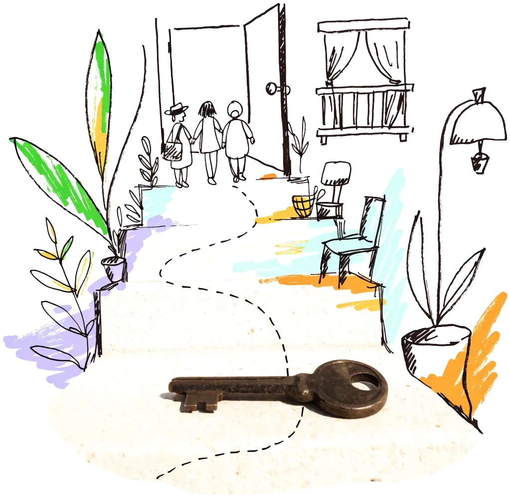
A door key on a doorstep with a drawn path leading to an open door
Public owner

Higab AB and GöteborgsLokaler (the City's property companies)

Higab owns the historic buildings (Stora Tullhuset, Viktoriahuset, HDK) and lists vacant premises at higab.se/lediga-lokaler; it keeps buildings for the City's own needs when a use is plausible. Approach it with a funded use before a pre-study ends (Stora Tullhuset: Q4 2026); the board says it needs a clear tenant, mandate and financing.

1 source
City agency

Göteborgs Stad — exploateringsförvaltningen (sale of land and buildings)

The City's sales of plots, houses and buildings usually go to the open market through brokers (listed on Hemnet and Objektvision); land allocations and detailed plans are on its planning pages. Register interest early with the planning and land departments.

1 source

Signals to watch

Decisions, auctions and closures that change what becomes available, and when.

  1. 2026-04-15
    Central office vacancy up to 13.2%

    Citymark: vacancy rose from 11.4% to 13.2%, mostly at Lindholmen and in the CBD; about 150,000 m² were let in 2025.

    1 source
  2. 2026-03-11
    Higab declines a position on the Customs House motion

    The board says its pre-study of Stora Tullhuset is due in Q4 2026 and that a local-history hub needs a clear mandate and financing.

    1 source
  3. 2026-01-19
    Kulan plan gains legal force

    The detailed plan for the former SKF factory area in Gamlestaden allows about 1,000 homes beside preserved factory buildings.

    1 source
  4. 2025-12-17
    State Property Board lists four Lorensberg properties for sale

    SFV's disposal plan names Lorensberg 11:2, 11:4, 13:1 and 13:2 in Gothenburg.

    1 source
  5. 2025-10-01
    Viktoriahuset emptied for renovation

    Higab closed the house on 5 October 2025 after finding the roof in poor condition; tenants moved to Sahlgrenska Huset.

    1 source

Sources and freshness

14 sources connected, 1 waiting for access. We only use data we may lawfully reuse; where a publisher blocks automated access we do not work around it — a person downloads it, or we ask for permission.

Show every source, its licence and when we last read it
SourceAccessRecordsStatusLicence
OpenStreetMap disused/abandoned tags and brownfields
OpenStreetMap contributors
Open API41Live
2026-10-09
ODbL 1.0 (© OpenStreetMap contributors)
Rail, S-Bahn and U-Bahn stations (OpenStreetMap)
OpenStreetMap contributors
Open APIscoringLive
2026-10-09
ODbL 1.0 (© OpenStreetMap contributors)
Building heights: GlobalBuildingAtlas (TU Munich)
Zhu, X. X., Chen, S., Zhang, F., Shi, Y., Wang, Y. (2025), Technical University of Munich
GlobalBuildingAtlas: an open global and complete dataset of building polygons, heights and LoD1 3D models. Earth System Science Data 17(12), 6647–6668, doi:10.5194/essd-17-6647-2025. Read from the Parquet copy on Source Cooperative. Satellite-derived heights (typically 1.5–3 m error in Europe), turned into storeys with storey heights fitted on Berlin; used only where no register or official 3D model sizes the building.
Open download106 buildings sizedLive
2026-10-09
CC BY-NC 4.0 (heights); footprints from OpenStreetMap and Microsoft: ODbL
Road noise (EU Environmental Noise Directive, Lden)
European Environment Agency
Open APIscoringLive
2026-10-09
EEA standard re-use policy (attribution)
Leerstandsmelder.de — public reports of empty buildings
Leerstandsmelder (Gängeviertel e.V., Hamburg)
Shown while we ask Leerstandsmelder for permission. Reports since 2016 only, with the address, the month reported and a link to each entry; not checked by EHC. Each point says when a report has since been marked demolished, lived in, in interim use or rebuilt on Leerstandsmelder, and the owner type the reporter gave (private owners are never named).
Asking for permission0Pending
2026-10-09
Credited to Leerstandsmelder.de; asking for permission
Open-ended property funds: buildings they report partly empty
Open-ended real-estate funds (each point names its fund and report)
German and Austrian open-ended public property funds must list every property with its vacancy (or letting) rate in their annual and half-year reports. scripts/reuse/import-fund-reports.ts reads those lists; properties at 10 % vacancy or more are shown, those at 25 % or more count as evidence.
Open download0Live
2026-10-09
Published fund report (KAGB / KARBV property list), cited per point
Co-working spaces, department stores, banks, hotels and cinemas listed as permanently closed
Overture Maps Foundation (closure data: BrightQuery company records)
Places with operating_status "permanently_closed" in the monthly Overture release, read by scripts/reuse/import-overture-closures.ts and matched to the building they sit in. A closed business is usually one unit; names are shown only for companies, never for sole traders.
Open download0Live
2026-10-09
CDLA Permissive 2.0 (Overture Maps Foundation)
Land without current use and stalled construction, mapped from satellite imagery (Copernicus Urban Atlas 2006–2018)
European Environment Agency — Copernicus Land Monitoring Service
Urban Atlas class 13400 (brownfields, demolition sites and gaps in the built-up area, 0.25 ha and up) compared across the 2006, 2012 and 2018 editions, so each plot says how long it has stood unused; plus construction sites (13300) already under way in 2012, and 2012 construction sites left unused by 2018. Read from the EEA's open ArcGIS services, the same way in every radar city. The 2021 edition (Copernicus Data Space) drops plots built on since 2018 where scripts/reuse/import-urban-atlas-2021.ts has been run. Points are context, never evidence of vacancy.
Open API72Live
2026-10-09
Copernicus open data (© European Union, Copernicus Land Monitoring Service 2006–2021, EEA)
Stalled construction and buildings held by insolvent developers
EHC research (dated press and court sources per point)
Signa, Adler/Consus and other developer insolvencies since 2022 and stalled sites, each with its latest dated status (src/scripts/data/reuse/stalled-projects.json; news leads from scripts/reuse/mine-news.ts are reviewed before they join).
EHC research0Live
2026-10-09
Cited publisher per point
Church buildings the dioceses and regional churches plan to give up
Catholic dioceses and Protestant regional churches (their building plans), via EHC research
Buildings a church body’s published building plan or recent reporting names as to be given up, without church funding, for sale or lease, or profaned (src/scripts/data/reuse/church-plans.json and brussels-churches.json).
EHC research0Live
2026-10-09
Cited publisher per point
Named buildings and sites from EHC research (each with its own source)
European Housing Coop research
EHC research6Live
2026-10-09
Facts cited to their publishers
Year built and listing: OpenStreetMap building tags
OpenStreetMap contributors
start_date / construction_date and heritage / listed_status of the OpenStreetMap outline a record is matched to, where no register answers. Read with the outline match, not a separate query.
Open APIscoringLive
2026-10-09
ODbL 1.0 (© OpenStreetMap contributors)
Office buildings mapped in OpenStreetMap
OpenStreetMap contributors
Open API231Live
2026-10-09
ODbL 1.0
Brownfield land (OpenStreetMap)
OpenStreetMap contributors
Open API23Live
2026-10-09
ODbL 1.0
Whole buildings the City's property company Higab lists as vacant ('Lediga lokaler')
Higab AB (City of Gothenburg)
Open download3Live
2026-10-09
not stated — credited to the publisher

What this radar cannot see yet

  • Gothenburg publishes no vacancy register, no list of surplus city buildings and no open building layer with use: the City's open geodata (CC0) are the base map (outlines only, a 707 MB bulk file), addresses, orthophotos and height models, with no WFS for buildings or properties.
  • Lantmäteriet's national building register (use, footprint) needs a Geotorget account and API key and is not used; the radar has no floor-area source beyond the Global Building Atlas.
  • Higab's live list of vacant premises holds ten offers, mostly units in new buildings at Masthugget Väst; each offer's page is on Objektvision, which answers with a human check, so no unit details were read.
  • Higab's property sales and the City's land sales are announced in council papers and trade press, not in a dataset.
  • Office vacancy is published by Citymark as rates for central areas, not as buildings.

Know an empty building we have missed?

Open data cannot see everything. Tell us about a building in Gothenburg that stands empty or barely used; once we have checked it, it joins the map under “Reported by visitors (checked)”.

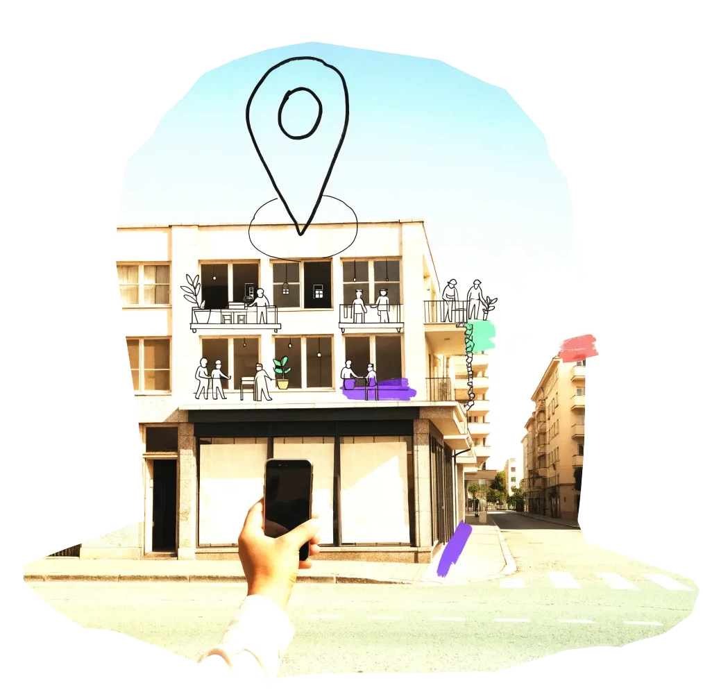
A phone held up to photograph an empty shopfront, with a map pin drawn above it

We publish the address, the kind of building and your description once we have checked it — never your email. Please do not name the people who own or live in a building.

Radars nearby

The other radars in the same country and the nearest beyond. All 134 cities in the atlas

The figure on each card: empty buildings on record.