Skip to content
Reuse radar

Copenhagen

Copenhagen has turned old commercial buildings into homes for a decade — about 600,000 m² of housing in existing buildings, roughly 15% of all new homes — and office vacancy has fallen back to around 350,000 m² in the wider city. The best routes for a co-operative run through city land: the city publishes the properties it intends to sell, can sell to a housing co-operative without tender against a guarantee, and requires up to 25% non-profit housing in new local plans.
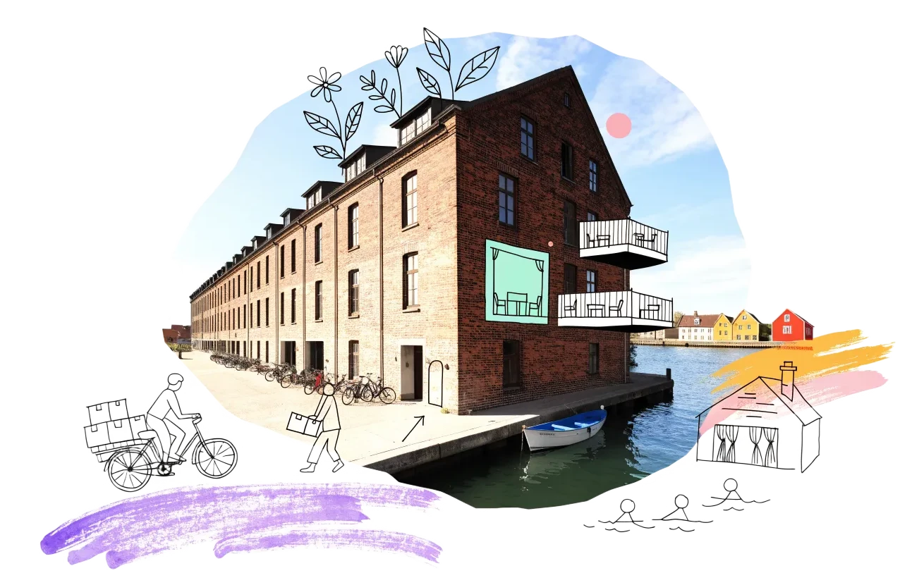
An empty building in Copenhagen with homes, balconies and neighbours drawn onto it in ink
Vacant office space450,000 m²7% of the stock stands empty
On the map2,385buildings and sites from 8 open sources
Homes potential≈ 1,210if 30% of empty offices converted

Office figures: Ejendomstorvet.dk via the City of Copenhagen: about 450,000 m² of empty offices (about 7%) at the start of 2025 in Copenhagen, Frederiksberg, Tårnby and Dragør; down to about 350,000 m² by mid-2025. Homes: our economic model’s conversion engine. Map built 2026-10-06.

The map

Switch layers on by the question you are asking. Every point comes from a public record, an open dataset or a cited report; open one to see where it comes from and what the data cannot tell us.

BBR has no vacancy field. Floor area and storeys come from the national register (Datafordeler) for offices of 1,000 m² or more and for industrial and warehouse buildings of three or more storeys; smaller offices are not shown.

Loading map…

0 points · click a cluster to zoom, a point for its sources

Where to look first

Buildings with evidence that they stand empty — a second source agrees, a public record names them, or we have checked them — ranked by a score you can read: co-op scale, daylight depth, a station nearby, a zone that allows homes, affordable land and an open route in. Checked buildings carry their result; nobody has visited them on site yet.

ScoreBuildingFloor areaStationActions
56Ørnevej 53, 2400 København NVPlans announced
On public land · Bygning til kontor · 5 storeys
13,706 m²540 m

Districts where conversion makes sense

Where empty offices, the right zoning and a working neighbourhood come together — and what could go wrong.

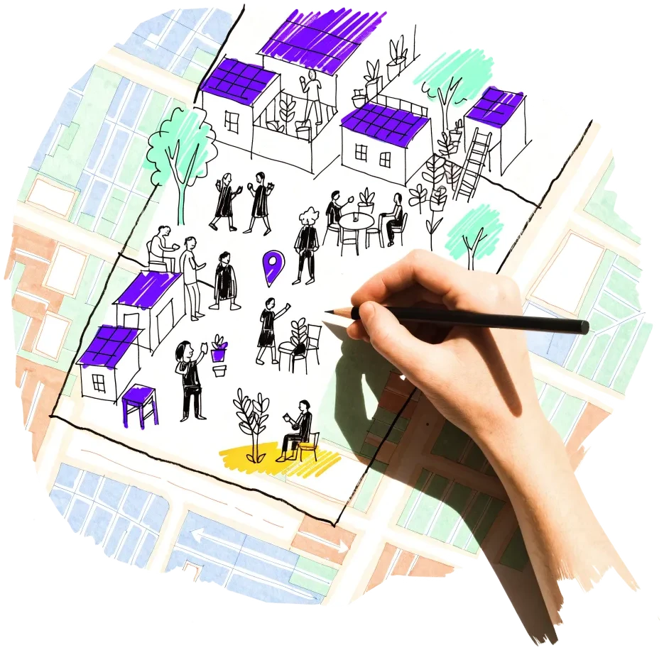
A hand outlining a neighbourhood on a city map, with small houses drawn inside

Valby industrial district (Valby Industrikvarter, Torveporten, Ny Ellebjerg)

The largest cluster of former industrial and wholesale land in the phasing plan, with city-owned sites already being sold for non-profit housing.

  • Valby Maskinfabrik 17.8 ha and Grønttorvet 17.4 ha in the phasing plan
  • Torveporten: 10,140 m² of city land to be sold to KAB for non-profit homes
  • Hansstedvej 7: city building to be freed for care homes

Risk: Much of the area is new building on cleared land; the remaining factories are privately held.
2 sources

Jernbanebyen and the freight yards (Vesterbro–Kongens Enghave)

About 55 ha of railway land next to the centre, owned by the State railway and the State’s property company, now in local planning with non-profit housing.

  • Jernbanebyen 55.4 ha in the phasing plan; landowners DSB and Freja
  • Revised local plan proposal (Sept 2026): 25% almene homes, 57,000–94,000 m²
  • DSB workshops to leave the northern part around the end of 2026; listed-worthy buildings kept

Risk: A large master-planned district sold to developers; reuse of the old workshops depends on the plan.

2 sources

Nordvest and Brønshøj-Husum

The city is selling its own large office building on Ørnevej for care homes, and Bystævneparken is where it is testing how to sell land to co-housing groups.

  • Ørnevej 53–55: 17,053 m² city office property to be sold for non-profit care homes
  • Bystævneparken local plan adopted 18 Sept 2025; first building-rights tender expected early 2026
  • 149 office buildings in Bispebjerg (BBR use 321)

Risk: Care-home and family-housing programmes are fixed by the city; a co-operative must fit them.

3 sources

Amager (Urbanplanen and Nordøstamager)

City land inside the Urbanplanen estate is being sold for densification, and Nordøstamager holds former gasworks and industrial sites in the phasing plan.

  • Urbanplanen: about 9,500 m² of city land, 15,600 m² of homes and services allowed
  • Kløverparken (two parts, 54.8 ha) and Sundby Gasværk (5.9 ha) in the phasing plan

Risk: Several Nordøstamager areas are only in the plan’s long-term period.

2 sources

Owners and routes in

Who controls the space, and what a housing cooperative can actually do with them.

A door key on a doorstep with a drawn path leading to an open door

Signals to watch

Decisions, auctions and closures that change what becomes available, and when.

  1. 2026-09-15
    Jernbanebyen plan revised

    Revised local plan proposal for 55 ha of railway land: 25% almene homes (57,000–94,000 m²) including a 17,500 m² care home; DSB workshops to leave around the end of 2026.

    1 source
  2. 2026-08-20
    City sale list updated

    21 city properties and plots listed for sale by the end of 2027, including the 17,053 m² Ørnevej office building for non-profit care homes.

    1 source
  3. 2026-01-01
    15,004 flats without registered residents

    Flats in multi-dwelling buildings in Copenhagen with nobody registered as living there on 1 January 2026 (4.8%) — not the same as empty.

    1 source
  4. 2025-12-10
    Schools and colleges may sell through Freja

    From 1 Jan 2026 to 31 Aug 2030 State-funded education institutions can sell buildings to the State property company.

    1 source
  5. 2025-09-25
    Office vacancy falls

    Empty office space in the wider city fell from about 450,000 m² (start of 2025) to about 350,000 m² (mid-2025); about 600,000 m² of homes were made in existing buildings over ten years.

    1 source
  6. 2025-06-19
    Appeals Board limits help for co-housing groups

    The city may not favour co-housing groups for their form alone, but two sale models remain open, including sale to a housing co-operative without tender.

    1 source

Sources and freshness

10 sources connected, 1 waiting for access. We only use data we may lawfully reuse; where a publisher blocks automated access we do not work around it — a person downloads it, or we ask for permission.

Show every source, its licence and when we last read it
SourceAccessRecordsStatusLicence
OpenStreetMap disused/abandoned tags and brownfields
OpenStreetMap contributors
Open API24Live
2026-10-06
ODbL 1.0 (© OpenStreetMap contributors)
Rail, S-Bahn and U-Bahn stations (OpenStreetMap)
OpenStreetMap contributors
Open APIscoringLive
2026-10-06
ODbL 1.0 (© OpenStreetMap contributors)
Road noise (EU Environmental Noise Directive, Lden)
European Environment Agency
Open APIscoringLive
2026-10-06
EEA standard re-use policy (attribution)
Leerstandsmelder.de — public reports of empty buildings
Leerstandsmelder (Gängeviertel e.V., Hamburg)
Shown while we ask Leerstandsmelder for permission. Reports since 2016 only, with the address, the month reported and a link to each entry; not checked by EHC. From a one-time copy of 4 October 2026 — the API is not fetched, as it disallows automated agents.
Asking for permission0Pending
2026-10-06
Credited to Leerstandsmelder.de; asking for permission
Named buildings and sites from EHC research (each with its own source)
European Housing Coop research
EHC research9Live
2026-10-06
Facts cited to their publishers
Buildings owned by the City of Copenhagen (BBR, 500 m² or more)
Københavns Kommune
Open API896Live
2026-10-06
Open data, Københavns Kommune (free reuse with attribution)
Office buildings of 1,000 m² or more, with floor area and storeys (national building register)
Bygnings- og Boligregistret (BBR), via Datafordeler
Open API1,171Live
2026-10-06
Free public data (Danish basic data programme), credit BBR / Datafordeler
Industrial and warehouse buildings with 3+ storeys (national building register)
Bygnings- og Boligregistret (BBR), via Datafordeler
Open API87Live
2026-10-06
Free public data (Danish basic data programme), credit BBR / Datafordeler
Urban development areas (Kommuneplan 2019 phasing plan)
Københavns Kommune
Open API74Live
2026-10-06
Open data, Københavns Kommune (free reuse with attribution)
Local plans in preparation, or adopted since 2024 with homes
Københavns Kommune
Open API113Live
2026-10-06
Open data, Københavns Kommune (free reuse with attribution)
Brownfield land (OpenStreetMap)
OpenStreetMap contributors
Open API11Live
2026-10-06
ODbL 1.0

What this radar cannot see yet

  • BBR has no vacancy field. Floor area and storeys come from the national register (Datafordeler) for offices of 1,000 m² or more and for industrial and warehouse buildings of three or more storeys; smaller offices are not shown.
  • There is no open register of empty commercial premises; vacancy is only published as totals from the brokers’ portal Ejendomstorvet.
  • Statistics Denmark counts flats without registered residents by municipality only, and that is not the same as empty.
  • Aerial close-ups come from Dataforsyningen's orthophoto, which needs a personal token: they appear once DATAFORSYNINGEN_TOKEN is set (the server adds it, visitors never see it).
  • Frederiksberg is a separate municipality inside Copenhagen and is not on this radar.
  • Wikidata’s query service disallows automated access in robots.txt, so it is not used.

Know an empty building we have missed?

Open data cannot see everything. Tell us about a building in Copenhagen that stands empty or barely used; once we have checked it, it joins the map under “Reported by visitors (checked)”.

A phone held up to photograph an empty shopfront, with a map pin drawn above it

We publish the address, the kind of building and your description once we have checked it — never your email. Please do not name the people who own or live in a building.

Other radars