AI-Generated Summary
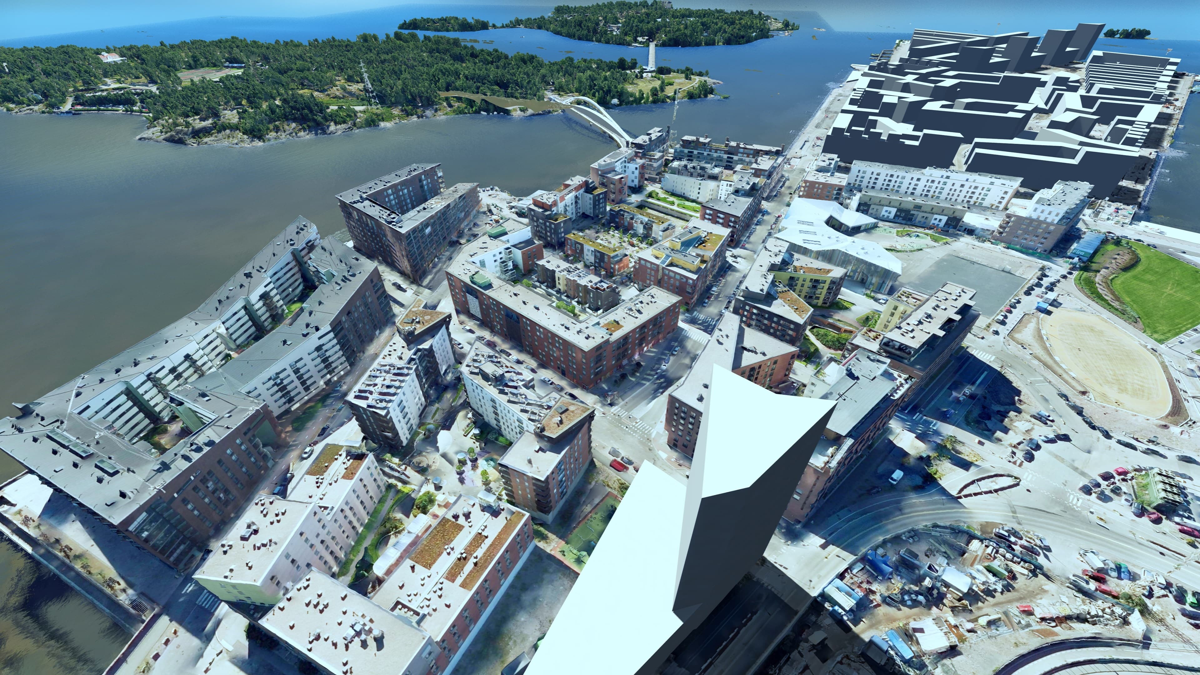
The Helsinki 3D Digital Twin is the City of Helsinki's comprehensive three-dimensional digital model of the urban environment, openly accessible via the city's map service. Developed by Helsinki's Urban Environment Division in collaboration with the National Land Survey of Finland and various technology partners, the model integrates building data, terrain models, vegetation, street furniture, and underground infrastructure into a unified digital representation.
The digital twin serves multiple smart city functions: it supports urban planning and design review by enabling stakeholders to visualise proposed developments in their real-world context; it aids climate and energy analysis by modelling solar potential, wind patterns, and building energy performance; and it facilitates citizen engagement by allowing residents to explore planned changes to their neighbourhoods in an immersive 3D environment.
Helsinki's approach to the digital twin emphasises open data principles, with the 3D city model made freely available for commercial and non-commercial use. The platform has been integrated into the city's planning workflows and has informed decisions on major development projects across Helsinki. As one of the most advanced municipal digital twins in Europe, it serves as a reference model for other cities pursuing data-driven urban governance and transparent planning processes.