AI-Generated Summary
Barcelona's digital twin project integrates geospatial data, real-time sensor feeds, and advanced urban simulation models into a comprehensive virtual replica of the entire city. Developed in partnership with EU-funded collaborations, the platform enables urban planners, architects, and municipal decision-makers to simulate climate scenarios, test the impact of proposed infrastructure changes, and optimise energy distribution across the metropolitan area before any physical intervention takes place.
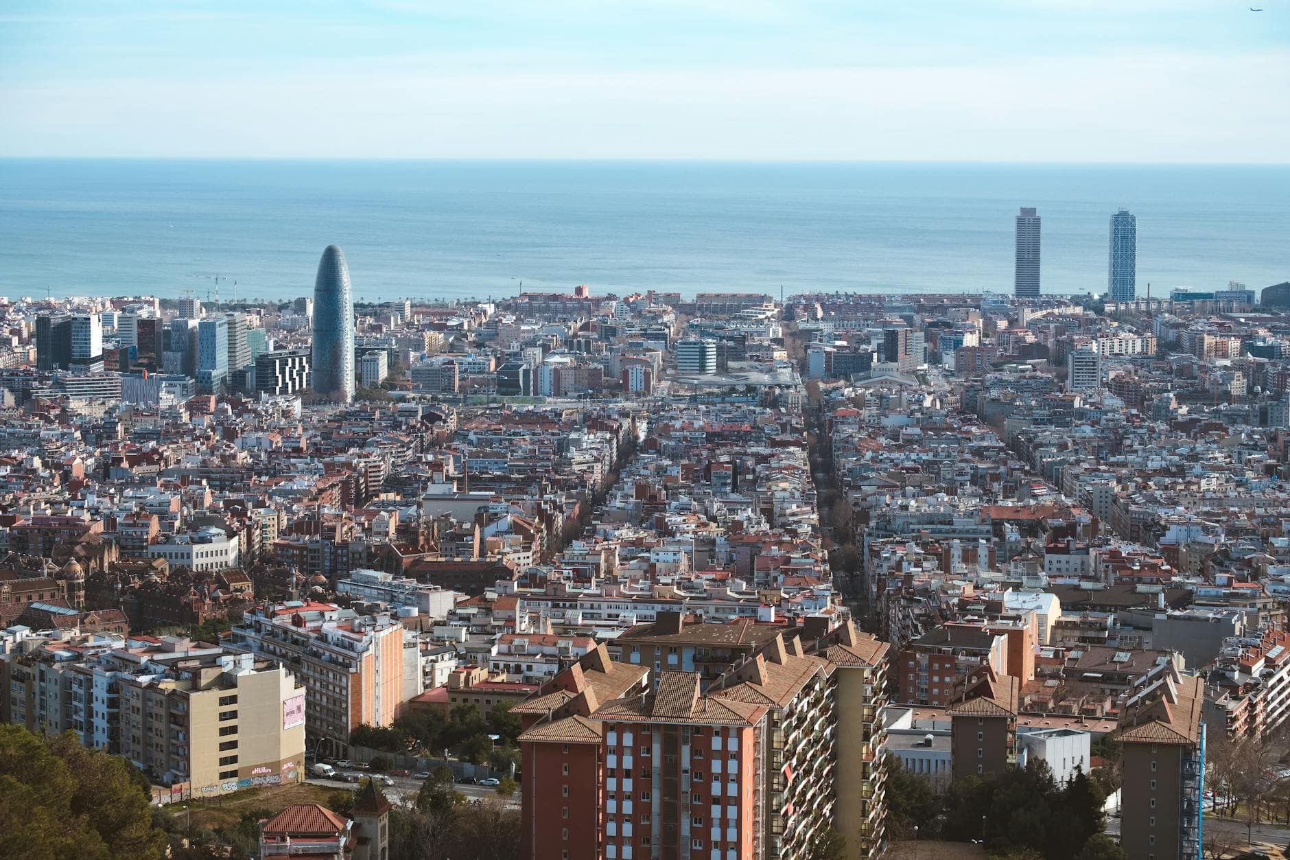
The digital twin consolidates data from over 20,000 IoT sensors, satellite imagery, building information models, cadastral records, and municipal databases into a unified three-dimensional planning environment. Users can explore the city at multiple scales — from individual buildings to entire districts — and run simulations that model variables such as solar exposure, wind patterns, flood risk, traffic flows, noise propagation, and thermal comfort. This capability is particularly valuable in the context of climate adaptation, allowing Barcelona to anticipate the effects of rising temperatures and extreme weather events on its built environment and public spaces.
The platform also supports participatory planning processes by generating immersive 3D visualisations that help residents and stakeholders understand and engage with proposed developments in their neighbourhoods. This transparency strengthens public trust and improves the quality of feedback received during consultation periods.
Barcelona's digital twin is designed to be interoperable with other European city platforms, contributing to a growing network of urban digital twins that share standards, methodologies, and lessons learned. By embedding data-driven simulation into the heart of its planning processes, Barcelona is positioning itself at the forefront of evidence-based urbanism, ensuring that investments in infrastructure, housing, and public space are guided by robust predictive analysis rather than assumptions alone.